






A New Sentinel in Geosynchronous Orbit
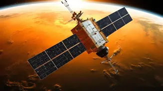
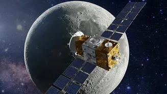
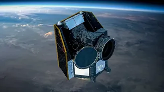
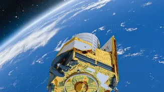
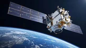
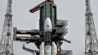
The Indian Space Research Organisation (ISRO) launched the GSLV-F17 rocket from the Satish Dhawan Space Centre, carrying its primary payload, the Earth Observation Satellite-05 (EOS-05). This wasn't just any launch; it marked the placement of India's
first imaging satellite into a geosynchronous orbit. Unlike satellites in lower orbits that pass over areas periodically, a geosynchronous satellite remains in a fixed position relative to the Earth's surface, hovering approximately 36,000 km above. This unique vantage point allows for continuous, near-real-time monitoring of the Indian subcontinent, a game-changer for tracking rapidly developing weather phenomena.
Upgrading India’s Weather Forecasting
The EOS-05 builds upon the legacy of ISRO's INSAT series of meteorological satellites, which have been the backbone of India's weather forecasting for decades. While existing satellites like INSAT-3D and INSAT-3DR already provide updates every 15 minutes, EOS-05's advanced imaging capabilities from a fixed geosynchronous position will offer unprecedented clarity and frequency. It is equipped with state-of-the-art instruments designed to measure atmospheric moisture, temperature profiles, cloud cover, and sea surface temperatures with greater accuracy. This constant stream of high-resolution data is crucial for the India Meteorological Department (IMD) to issue more precise and timely weather alerts, especially for extreme events like cyclones and heavy rainfall.
Decoding the Lifeline: The Indian Monsoon
For India, no weather event is more critical than the monsoon. It is the lifeblood of the nation's agriculture-driven economy. The ability to accurately predict the monsoon's onset, its distribution across the country, and any potential dry spells is of immense importance. The data from EOS-05 will significantly enhance these predictions. By continuously monitoring cloud formation over the Indian Ocean and tracking wind patterns, scientists can develop more reliable long-range forecasts. This allows for better national-level planning for water resources and agricultural strategies, moving from reactive measures to proactive management. The mission strengthens an entire ecosystem of data-driven forecasting that underpins the country's economic stability.
From Satellite Data to Sowing Seeds
The most direct impact of this mission will be felt on the ground by millions of farmers. Improved monsoon forecasting translates directly into actionable advice for the agricultural sector. National initiatives like FASAL (Forecasting Agricultural output using Space, Agrometeorology and Land-based observations) will be major beneficiaries of the new data streams. Farmers will receive more reliable advisories on when to sow their seeds, which crops are best suited for the expected rainfall patterns, and how to manage irrigation. This reduces the risks associated with weather-dependent farming, minimizes crop loss due to events like floods or droughts, and ultimately boosts agricultural productivity and farmer income.
A Long-Term Watch on Climate Change
Beyond the immediate needs of weather forecasting and agriculture, the GSLV-F17 mission provides India with a powerful tool to monitor the long-term effects of climate change. The continuous and consistent data collected by EOS-05 over the years will help track trends in weather patterns, monitor the health of forests, track glacier melt in the Himalayas, and observe changes in land use. This long-term record is invaluable for climate scientists and policymakers, providing the evidence needed to develop effective adaptation and mitigation strategies. In an era of increasing climate vulnerability, having a dedicated national asset in the sky is not just a technological achievement but a strategic necessity for ensuring future resilience.