





Decoding GRITSS
GRITSS stands for Geodetic Reference Instrument Transponder for Small Satellites. Launched in early July 2026, it's a technology demonstration mission led by NASA in collaboration with the University of Massachusetts Lowell and Dutch manufacturer ISISPACE.
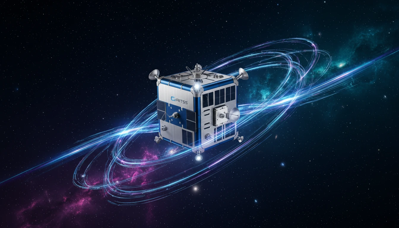
The goal isn't to create a new map from scratch, but to improve the very foundation upon which all modern mapping and positioning are built. Think of it as calibrating the planet's master ruler. The mission involves a small satellite, about the size of a suitcase, orbiting the Earth to act as a single, unified reference point in space. By doing so, it aims to eliminate tiny errors that currently exist when we try to combine data from different Earth-observation systems.
The Millimetre-Level Problem
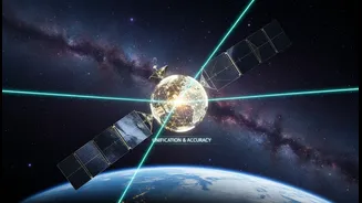
Scientists use several highly sophisticated techniques to measure our planet, including Satellite Laser Ranging (SLR), Very Long Baseline Interferometry (VLBI), and the Global Navigation Satellite System (GNSS), which includes GPS. Historically, linking these independent systems has been a challenge, introducing small but significant errors—often at the millimetre level. While a few millimetres might not sound like much, they add up when tracking critical global trends. GRITSS is designed to act as a bridge between these systems. It carries a unique payload that can receive GPS signals and rebroadcast them in a format that radio telescope arrays (VLBI) can understand, while also carrying a laser retroreflector for the SLR network. This allows all three systems to observe the same object at the same time, syncing them with unprecedented accuracy.
What 'Sharper Data' Means for Science
The primary goal of GRITSS is to vastly improve the International Terrestrial Reference Frame (ITRF), the globe's fundamental coordinate system. A more accurate ITRF has profound implications. For climate science, it means we can measure sea-level rise, the melting of ice sheets, and shifts in groundwater resources with much greater confidence. The scientific community's target is to achieve an accuracy of one millimetre for the reference frame, a goal GRITSS is designed to help reach. This level of precision sharpens our view of a changing planet, allowing researchers to distinguish between real environmental signals and simple measurement noise. This enhanced accuracy is crucial for building reliable climate models and making informed policy decisions.
The Trickle-Down Effect for India
While GRITSS is a global science mission, its benefits will eventually trickle down to commercial and civic applications in India. A more stable and accurate global reference frame makes every GPS-enabled service more reliable. For India's booming economy, this means more precise positioning for everything from precision agriculture in the Indo-Gangetic Plain to fleet management for logistics companies nationwide. It can enhance the safety and efficiency of future autonomous vehicle networks in smart cities and provide a more stable foundation for monitoring urban subsidence in major metropolises. Furthermore, improved Earth observation data supports disaster management, helping to better track tectonic strain for earthquake preparedness and monitor coastal erosion with greater fidelity.
The Road Ahead
The GRITSS satellite is now in orbit, and its mission is to demonstrate the feasibility of this new space-based technique. The engineering is complex; the satellite's internal timing components must remain stable to within a trillionth of a second, even as temperatures swing dramatically in orbit. If successful, the technology pioneered by GRITSS could be incorporated into future satellite constellations. This would pave the way for a continuously updated, ultra-precise global grid. While the immediate goal is scientific, the long-term impact is a more robust and reliable digital infrastructure for the entire planet, ensuring that the maps we rely on for everything from daily commutes to national development are built on the strongest possible foundation.