

An Eye in the Sky
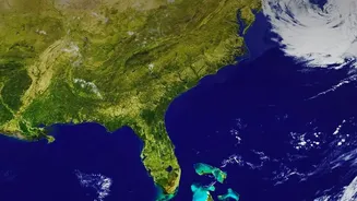
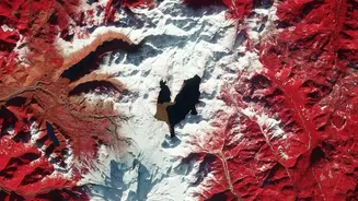
When we think of satellite images, we often picture the detailed maps on our phones or stunning photographs of Earth from space. But for water management, these images are much more than just pictures; they are rich datasets. This practice, known as remote
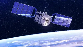
sensing, gathers information about the Earth's surface without physical contact. Satellites equipped with advanced sensors can track everything from the size of a lake to moisture in the soil, providing a continuous record of how our water landscape is changing. This has become a critical tool for managing a resource under increasing pressure from population growth and climate change.
The Science of Seeing Water
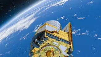
So, how exactly does a satellite measure water from space? Scientists use several clever techniques. The simplest involves optical sensors, which are like powerful cameras that measure the surface area of lakes and reservoirs. For measuring depth and volume, a technology called radar altimetry is used. A satellite sends a radar pulse to the water's surface and measures the time it takes to bounce back, calculating the water level with remarkable precision. Another key technology is Synthetic Aperture Radar (SAR), which has the superpower of being able to 'see' through clouds, smoke, and darkness. This is especially useful in India for monitoring rivers and reservoirs during the cloudy monsoon season, when flood risks are highest.
Beyond Lakes to Groundwater
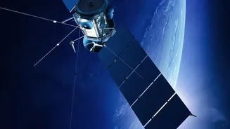
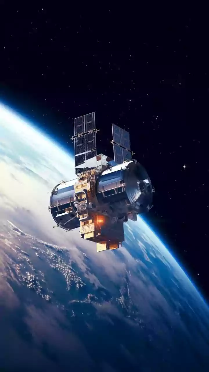
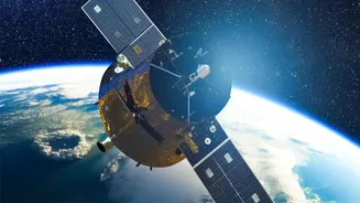
The insights are not just limited to surface water. Some of the most groundbreaking revelations come from missions that measure something you can't see at all: groundwater. The NASA-led Gravity Recovery and Climate Experiment (GRACE) satellites and their successor mission, GRACE-FO, work in pairs. By precisely measuring the tiny changes in the distance between the two spacecraft as they orbit Earth, scientists can detect changes in the planet's gravitational pull. Since water is heavy, a decrease in groundwater in an area leads to a minuscule drop in local gravity, which the satellites can detect. This technology has been crucial in showing the rapid depletion of groundwater in parts of northern India due to over-extraction for agriculture.
India's High-Tech Water Watch
In India, space technology is being increasingly integrated into water management, a collaboration driven by organisations like the Indian Space Research Organisation (ISRO) and the Central Water Commission (CWC). In June 2026, the Ministry of Jal Shakti and ISRO signed a memorandum of understanding to deepen this partnership, focusing on 24 key areas including reservoir monitoring, river-flow analysis, and flood forecasting. ISRO's National Remote Sensing Centre (NRSC) provides vital, near real-time data on flood inundation to disaster management agencies across the country. Furthermore, data from satellites like SARAL-ALTIKA are used to monitor water levels in major rivers like the Ganga and Godavari and in key reservoirs, providing crucial inputs for dam operations and flood control.
From Data to Decisions
This wealth of satellite data empowers authorities to make better, more timely decisions. Near real-time monitoring of reservoir levels helps in managing water releases for irrigation and power generation, while also preventing dam failures. Long-term data helps identify regions heading towards water stress, allowing for proactive drought management. Flood inundation maps, often produced within hours of a disaster, are essential for guiding rescue and relief efforts. By combining satellite data with ground measurements, water managers can create sophisticated models to forecast water availability, assess the impact of climate change, and plan for a more water-secure future. This technology is not just about data; it's about building resilience for millions of people.