



India's Eyes in the Sky
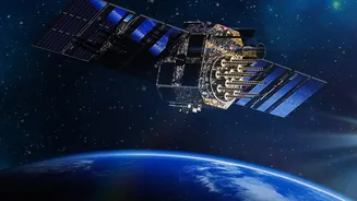
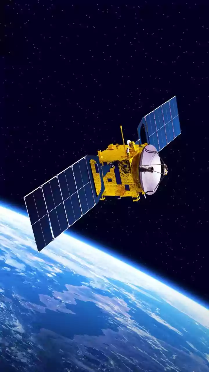
High above the Earth, a constellation of sophisticated satellites operated by the Indian Space Research Organisation (ISRO) keeps a constant watch. The workhorses of this fleet are the geostationary satellites from the INSAT (Indian National Satellite
System) series, particularly the advanced INSAT-3D and INSAT-3DR. Unlike satellites that orbit the poles, geostationary satellites remain fixed over the same spot on the equator at an altitude of nearly 36,000 kilometres. This fixed position allows them to continuously monitor the Indian subcontinent, providing an uninterrupted stream of data to the India Meteorological Department (IMD) day and night. This constant vigilance is the first step in transforming how we predict and react to weather.
More Than Just a Picture
These satellites do more than just take pictures of clouds. They are equipped with advanced instruments called imagers and sounders. The imagers capture data across multiple spectral channels, from visible light to shortwave and thermal infrared. This allows meteorologists to not only see clouds but also understand their properties, like temperature, height, and whether they are made of water droplets or ice crystals. The sounders measure temperature and humidity at different layers of the atmosphere. Together, these instruments provide a three-dimensional view of the atmosphere, which is a massive leap from older technology. The improved resolution and, crucially, the ability to get updates as frequently as every 15 minutes, means the IMD gets a near-real-time view of developing weather systems.
The Crucial Importance of Speed
One of the most significant breakthroughs is the ability to track the speed of cloud movement, technically known as Atmospheric Motion Vectors. By taking a sequence of images, scientists can track a recognisable cloud feature and calculate how fast and in which direction it is moving. Why does this matter? Cloud speed is a direct indicator of wind speed and direction at that altitude. A rapidly moving cluster of clouds signifies strong winds that can quickly bring a storm system into an area. Knowing the speed helps forecasters determine not just if a storm will arrive, but when. This transforms forecasting from a general prediction to a precise, actionable warning, which is especially vital for fast-forming events like thunderstorms and intense rainfall.
Protecting Our Urban Corridors
This technology finds its most critical application in India's densely populated urban corridors. Cities like Mumbai, Chennai, Delhi, and Bengaluru are vulnerable to flash floods, where a massive amount of rain falls in a very short period. By tracking the speed of incoming rain-bearing clouds, meteorologists can provide more accurate and timely 'nowcasts'—highly localised, short-term forecasts. This gives municipal authorities crucial lead time to prepare. It allows them to alert traffic police to potential waterlogging hotspots, ensure drainage systems are ready, and issue public warnings so people can take shelter. Systems like iFLOWS-Mumbai and Chennai's Real-Time Flood Forecasting system heavily rely on this satellite and radar data to predict which specific areas of the city are likely to be inundated.
From Prediction to Preparedness
The ability to monitor cloud movement speed is part of a larger shift in India's approach to weather and disaster management. It moves the needle from simply predicting weather to enabling proactive preparedness. When early warnings are more accurate and location-specific, the response can be more effective. This data is fed into sophisticated numerical weather prediction models, which run on high-performance computers to simulate how the atmosphere will behave. The more accurate the initial data from satellites, the more reliable the final forecast. This enhanced capability helps in everything from issuing cyclone alerts along the coast to providing farmers with crop-specific advisories, ultimately saving lives, protecting property, and building a more climate-resilient nation.