



Our Eyes in the Sky
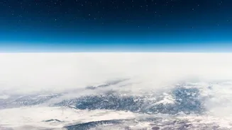
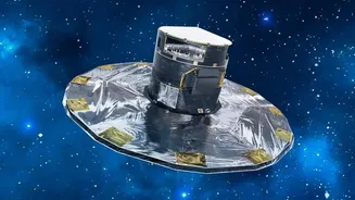
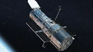
At its core, satellite monitoring is about observation from a distance. Earth observation satellites, like those in India's own RESOURCESAT or INSAT series, are equipped with powerful sensors. These sensors are not ordinary cameras; they capture information
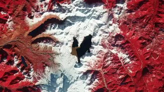
across different wavelengths of light, including those invisible to the human eye, such as infrared. By taking regular pictures of the same area, scientists and disaster management agencies can compare images to spot changes. This process, known as change detection, is fundamental to understanding everything from urban sprawl to the impact of a flood. The Indian Space Research Organisation (ISRO) plays a pivotal role, providing this near real-time information to national and state-level disaster management authorities to help them make informed decisions.
Seeing Through Monsoon Clouds
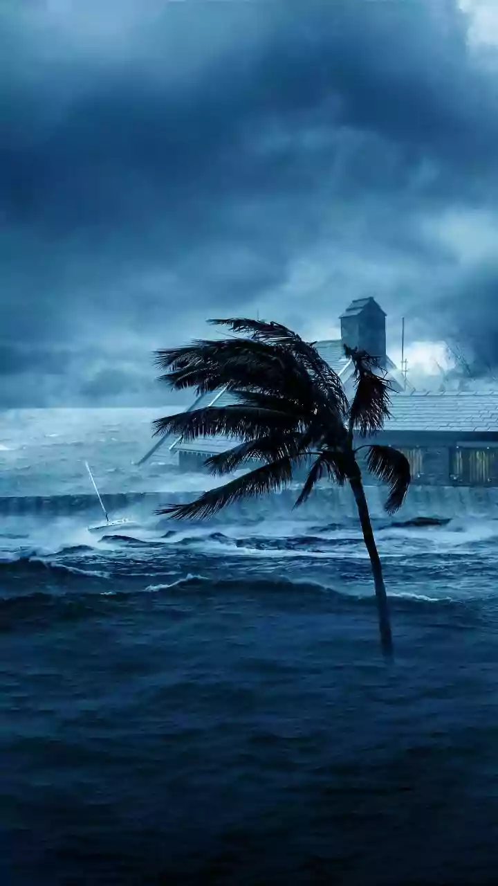
One of the biggest challenges in monitoring floods, especially during the monsoon, is cloud cover. Optical satellites, which work like our eyes, can't see through thick clouds. This is where Synthetic Aperture Radar (SAR) technology becomes a game-changer. SAR satellites, such as those in the Sentinel-1 mission or the joint NASA-ISRO NISAR satellite, don't rely on light. Instead, they send out microwave pulses and analyse the signals that bounce back. Calm, standing floodwater acts like a mirror, reflecting the signal away from the satellite and appearing as dark patches in the final image. This allows authorities to map the exact extent of flooding, day or night, rain or shine, giving a clear picture of which villages and infrastructure are inundated.
Detecting Unstable Ground
Landslides often happen with little warning. However, the ground usually deforms or moves slightly in the days or weeks before a collapse. These changes are often too small to see with the naked eye, but satellites can detect them. Using a technique called Interferometric SAR (InSAR), analysts compare radar images taken at different times. This allows them to measure millimetre-scale changes in ground elevation. By identifying areas of subsidence or uplift in hilly regions, authorities can pinpoint unstable slopes that are at high risk of turning into landslides. This provides a critical window of opportunity to issue early warnings and evacuate vulnerable populations, turning satellite data into a life-saving tool.
Mapping Long-Term Land Changes
The risk of floods and landslides isn't just about a single heavy downpour; it's also influenced by long-term changes to the landscape. Satellites are crucial for monitoring these slow-moving trends. By analysing years of satellite imagery, experts can track deforestation, unchecked urban construction, and changes in land use patterns. For example, removing forests on hillsides can increase soil erosion and landslide risk, while paving over natural ground in cities reduces water absorption and worsens flash floods. This long-term data helps planners understand how human activity is increasing vulnerability to natural disasters and allows them to develop more sustainable land management policies to mitigate future risks.
From Data to Actionable Intelligence
Collecting data is only the first step. The real value lies in turning complex satellite imagery into simple, actionable information for emergency responders on the ground. Agencies like ISRO's National Remote Sensing Centre (NRSC) process this data, creating detailed maps that show flood extents or potential landslide zones. These maps are disseminated through portals like Bhuvan and provided to the National Disaster Management Authority (NDMA), which coordinates the response. Increasingly, Artificial Intelligence (AI) is being used to analyse images faster and more accurately, helping to identify damaged buildings and roads almost instantly after an event, ensuring that aid reaches the most affected areas first.