


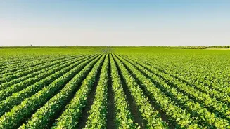
The View from Hundreds of Kilometres Up
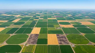
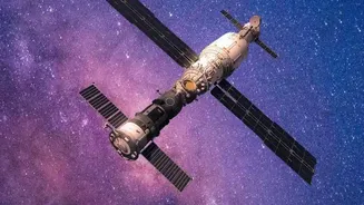
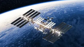
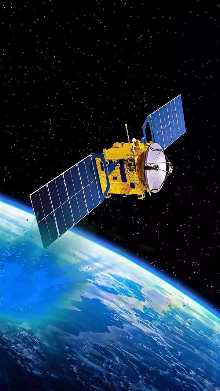
Earth Observation (EO) involves using remote sensing technologies, primarily satellites, to gather information about our planet's physical, chemical, and biological systems. For agriculture, this means capturing detailed imagery and data about farmland
from space. Instead of walking or driving across vast fields, farmers can now get a comprehensive snapshot of their entire operation in minutes. These satellites are equipped with advanced sensors that can see beyond the visible spectrum of light. This allows them to measure things the human eye cannot, such as the subtle changes in a plant's chlorophyll content or the moisture level in the soil. This stream of data provides a timely and holistic view, empowering farmers to move from intuition-based decisions to data-driven strategies.
Ushering in the Era of Precision Farming
One of the most significant impacts of EO data is the rise of 'precision agriculture'. This approach is about applying the right treatment at the right place and at the right time. Satellite data allows farmers to create detailed maps of their fields, dividing them into smaller management zones based on factors like soil condition and crop health. By analysing these maps, a farmer can identify specific areas that are struggling. For example, a widely used tool is the Normalized Difference Vegetation Index (NDVI), which uses infrared light to assess plant health. A low NDVI value in one corner of a field could indicate a pest infestation, nutrient deficiency, or water stress, allowing the farmer to intervene precisely in that spot instead of treating the entire field. This targeted approach increases efficiency, reduces the use of fertilisers and pesticides, and ultimately boosts crop productivity while minimising environmental impact.
Smarter Management of Water and Nutrients
Water and fertilisers are two of the most critical and costly inputs in farming. Earth observation data offers a powerful way to optimise their use. Satellites can monitor soil moisture levels, track water levels in reservoirs, and even measure evapotranspiration—the amount of water evaporating from the land and transpiring from plants. This information helps farmers make precise irrigation decisions, ensuring crops get exactly the water they need without waste. Similarly, by detecting nutrient deficiencies before they are visible to the naked eye, satellite imagery enables variable-rate fertilisation. This means applying more fertiliser only where it's needed and less where it's not, which cuts costs and prevents excess nutrients from running off into waterways.
Forecasting Yields and Enhancing Food Security
Accurate yield prediction is crucial for farmers, agribusinesses, and governments for planning and market stability. By combining satellite data on crop health and growth patterns with weather data and historical trends, analysts can forecast crop yields with increasing accuracy. This helps farmers plan for harvest, storage, and sales. On a larger scale, governments and organisations use this information to anticipate food shortages, manage supply chains, and make informed policy decisions that contribute to food security. This predictive power is essential for mitigating risks associated with extreme weather events like droughts or floods, which can be monitored in near real-time.
The Agritech Revolution in India
In India, where the agricultural sector employs a massive portion of the population on often small farms, satellite technology is a game-changer. The Indian Space Research Organisation (ISRO) is playing a key role, with programs like Krishi-DSS providing farmers with real-time data on everything from weather patterns to soil health. These initiatives leverage data from Indian satellites like Resourcesat and RISAT, alongside international missions, to support everything from crop forecasting to drought monitoring. Agritech companies are also harnessing this data to offer services that help farmers improve productivity and reduce resource waste, making modern farming techniques more accessible even to smallholders.