



The Red Planet's Dusty Threat
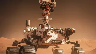
To understand why mapping dust is so critical, we first have to appreciate its danger. For solar-powered rovers like Spirit and Opportunity, dust storms are a potentially fatal threat. The 2018 global dust storm famously ended the 15-year mission of the Opportunity rover.
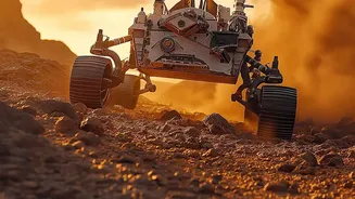
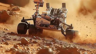
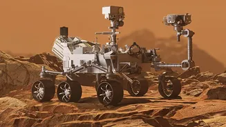
The dense clouds of dust blotted out the sun, preventing the rover from recharging its batteries and ultimately leading to its demise. Even for nuclear-powered rovers like Curiosity and Perseverance, which are immune to power loss from darkened skies, dust presents problems. Fine, abrasive dust particles can coat instruments, obscure cameras, and interfere with mechanical parts, compromising science operations. Furthermore, the dramatic atmospheric changes during a storm can affect communications with Earth.
Decoding the 'Storm Waves'
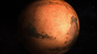
Martian dust storms aren't just chaotic clouds; they often exhibit structure and patterns. Scientists have observed that storms can form in sequences, with collections of smaller storm 'members' traveling in roughly the same direction over several days. These connected events, sometimes called 'storm waves' or sequences, can merge and grow, with some escalating into planet-encircling events. Research has shown that these storms are made of smaller, regularly spaced cloud cells, similar to cloud textures seen on Earth, which are formed by convection as warmer air rises. Understanding this structure is key. By identifying the precursors and tracking these wave-like progressions, scientists can move from simply reacting to storms to predicting their path and intensity.
The Orbiters: Our Eyes in the Sky
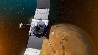
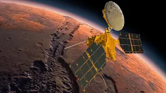
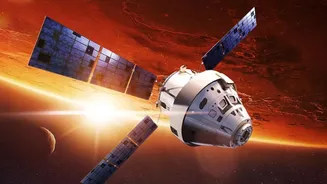
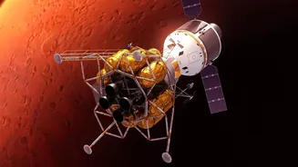
The primary tool for tracking these Martian weather patterns is the fleet of orbiters circling the planet. NASA's Mars Reconnaissance Orbiter (MRO) is particularly crucial. Its Mars Color Imager (MARCI) instrument captures a daily global map, allowing scientists to monitor the entire planet and watch storms evolve in near-real time. Another MRO instrument, the Mars Climate Sounder, measures atmospheric temperature, dust content, and pressure. This data helps forecasters determine how quickly a storm might spread. Together with observations from other spacecraft like Mars Odyssey and MAVEN, these orbiters provide a comprehensive view of the atmosphere, turning isolated data points into a dynamic weather map.
From Map to Safer Rover Routes
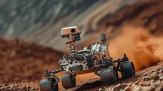
This wealth of atmospheric data is not just for academic study; it directly informs rover operations on the ground. Mission planners at NASA's Jet Propulsion Laboratory use the daily weather maps to make strategic decisions. If a developing storm system is identified, they can plot a rover's route to steer clear of the riskiest areas. For a solar-powered vehicle, this could mean navigating toward areas expected to remain sunny. For all rovers, it means avoiding regions where dust could hinder scientific measurements or create operational hazards. This predictive capability allows the team to pause science activities, hunker down, and conserve energy when a major storm is approaching, as the InSight lander did in 2022. This proactive approach significantly enhances rover safety and longevity.
A Safer Future for Martian Exploration
The ability to forecast Martian weather is becoming increasingly sophisticated. Scientists are now able to connect certain precursors, like a sharp rise in surface temperature, to the subsequent formation of major dust storms. While the science is still evolving, the goal is to predict storms weeks in advance. This capability is not just vital for protecting our current robotic explorers but is absolutely essential for future human missions. Astronauts on Mars will face significant risks from dust, which can affect life support systems, solar power generation, and visibility during extravehicular activities (EVAs). The lessons learned from mapping storm waves for rovers today are laying the foundation for keeping human explorers safe on the Red Planet tomorrow.