



A New Eye on a Hidden Crisis
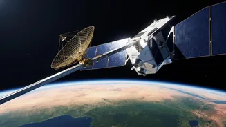
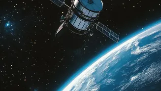
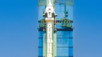
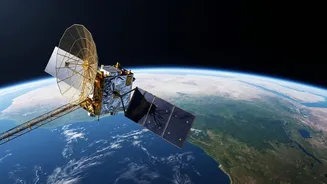
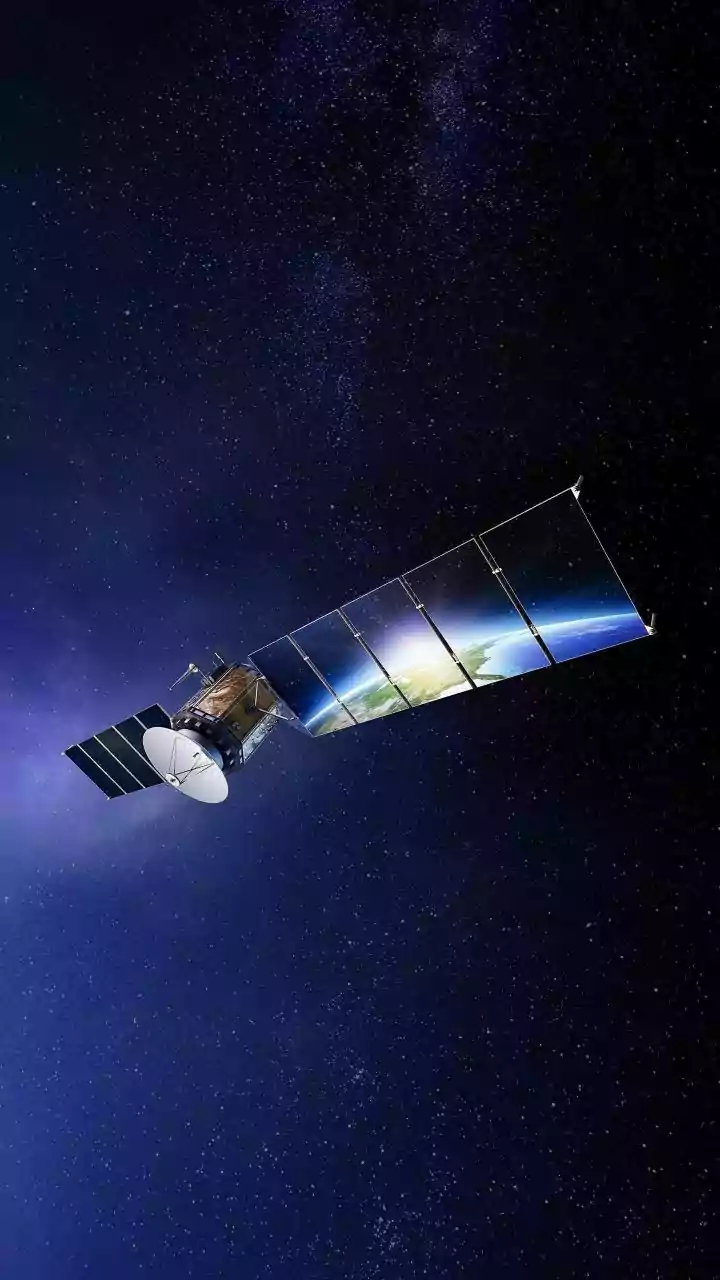
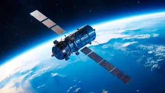
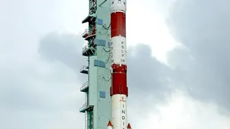
The NASA-ISRO Synthetic Aperture Radar (NISAR) is a landmark collaboration between the two space agencies, launched in mid-2025 to monitor our planet in incredible detail. While it has many scientific goals, one of its most critical applications for India
is tracking the health of its groundwater. For a nation that holds 18% of the world's population but only 4% of its freshwater resources, understanding what's happening underground is not just an academic exercise; it's a matter of survival. With agriculture accounting for the vast majority of water use and millions of wells tapping into aquifers, resources are being stretched to their breaking point in many regions. Recent reports from September 2026 highlight severe depletion in areas like Punjab and Visakhapatnam, underscoring the urgency of the problem. NISAR provides, for the first time, a consistent, nationwide view of this vital but invisible resource.
How NISAR Sees the Unseen
NISAR doesn't directly 'see' water underground. Instead, it uses a sophisticated technique involving radar to detect tiny changes in the height of the Earth's surface. Using two different radar frequencies, L-band and S-band, it can take high-resolution images day or night, regardless of cloud cover. As groundwater is extracted from aquifers, the ground above can sink slightly, a phenomenon known as subsidence. Conversely, when aquifers are replenished during monsoon season, the ground may rise. NISAR can detect these movements with millimetre-level accuracy. By mapping this subsidence over time, scientists can indirectly measure the volume of groundwater being lost or gained across entire regions. This is a massive leap from traditional methods, which rely on data from a limited number of physical monitoring wells, providing a sparse and incomplete picture.
What Makes This Data Unprecedented
The term "unprecedented" is justified by three key factors: scale, frequency, and resolution. NISAR maps the entire globe every 12 days, giving policymakers a near-real-time view of groundwater dynamics across the country. This frequent monitoring supports everything from irrigation planning for farmers to drought preparedness for entire states. Furthermore, the data it provides on related factors like soil moisture comes at a high resolution of 100 metres. This level of detail allows for analysis at a scale relevant to individual farming communities and districts. Previously, such comprehensive data was simply unavailable. Now, with data being processed by centres like the National Remote Sensing Centre (NRSC) and made available through public portals, India has a powerful tool to manage its water resources more scientifically.
From Data to Decisions
The practical applications of NISAR's data are already emerging. The high-resolution soil moisture maps are transforming agriculture by enabling more precise irrigation, which is crucial for a country where farming consumes the majority of water. By identifying areas where groundwater extraction is causing land to sink, authorities can better regulate borewell drilling and protect critical infrastructure like bridges, railways, and buildings from subsidence-related damage. This information is vital for urban planning, especially in rapidly growing cities where unchecked extraction can lead to irreversible aquifer collapse. The data also serves as an early warning system, helping to identify regions at high risk of severe water scarcity or drought long before a crisis fully unfolds.