





An Eye in the Sky for Every Field
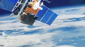
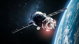
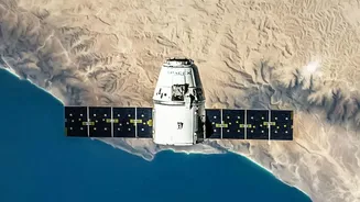
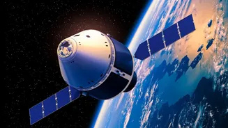
For centuries, farming has been a hands-on, ground-level endeavor. Farmers walked their fields, trusting their eyes and experience to spot trouble. Today, that perspective is getting a massive upgrade from hundreds of kilometers above the Earth. Satellites
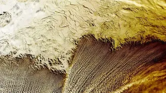
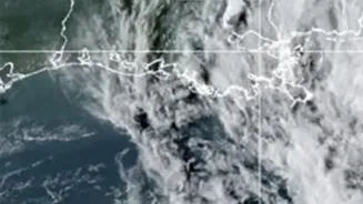
equipped with advanced sensors are now a crucial tool in modern agriculture, providing a comprehensive view of farmland that helps improve everything from planting to harvest. This technology, known as remote sensing, allows for the collection of data over vast areas, giving farmers and agribusinesses a bird's-eye view of their operations. It moves agriculture from being purely about soil and weather to being about data-driven decision-making. These satellites don't just take simple pictures; they capture information across different wavelengths of light, revealing hidden details about crop health, soil conditions, and water stress.
The Power of Seeing the Unseen
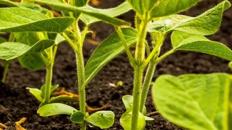
The magic of satellite monitoring lies in its ability to see what the human eye cannot. Healthy plants have a unique way of interacting with light: they absorb visible red light for photosynthesis and reflect near-infrared (NIR) light. Stressed plants—whether from drought, pests, or nutrient deficiency—do the opposite. Satellites measure this difference in light reflection to calculate what is known as the Normalized Difference Vegetation Index, or NDVI. Think of NDVI as a health score for vegetation. High NDVI values indicate lush, healthy growth, while low values signal a problem, often before it's visible to someone on the ground. This allows farmers to detect stress early and take corrective action before significant damage occurs, saving both crops and costs.
From Data to Decisions
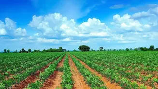
This data from space translates into tangible benefits on the farm. One of the most significant applications is precision agriculture, which means applying the right resources at the right time in the right place. Instead of treating a whole field uniformly, satellite data helps divide it into different management zones. An NDVI map might show that one corner of a field is suffering from water stress, allowing a farmer to irrigate that specific area rather than the entire plot, thus conserving water. Similarly, it can pinpoint nutrient deficiencies, guiding the precise application of fertilizers and reducing waste. This targeted approach not only improves crop yields and lowers costs but also promotes more sustainable farming practices by minimizing environmental impact. Furthermore, satellites can help forecast crop yields, monitor for pest outbreaks, and assess the impact of extreme weather events like floods and droughts.
The View from India
For a country like India, with millions of smallholder farmers, this technology holds immense promise. A satellite passing overhead can provide crucial information on soil moisture, vegetation stress, and canopy health that would be impossible to gather manually across fragmented landholdings. Already, Indian agritech companies are developing platforms that translate complex satellite data into simple, actionable advice for farmers, often delivered in local languages via mobile apps. For instance, an agronomist in an office was able to use satellite data to detect a whitefly infestation in cotton plots, enabling a targeted intervention before it spread. Government initiatives and a growing domestic space-tech ecosystem are further accelerating adoption, making high-tech monitoring more accessible and affordable for farmers who form the backbone of the nation's food security.
Challenges and the Path Forward
Despite its potential, satellite monitoring is not a silver bullet. Key challenges remain, especially for small farmers. High costs, poor rural internet connectivity, and the need for expertise to interpret complex data can be significant barriers. In regions with very small and fragmented fields, a single satellite image pixel might cover plots from multiple different farms, making precise analysis difficult. Moreover, the technology complements, rather than replaces, the need for on-the-ground knowledge and scouting. The most effective systems combine satellite intelligence with other tools like drones and ground sensors. As technology evolves, with higher resolution imagery and more sophisticated AI to process the data, these tools will become even more powerful and user-friendly, continuing to transform the future of farming.