



Eyes in the Sky: What is Earth Observation?
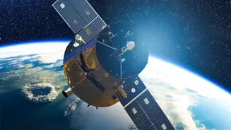
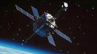
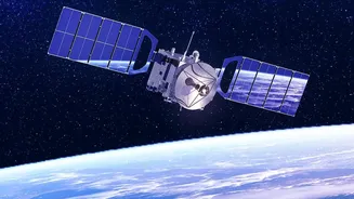
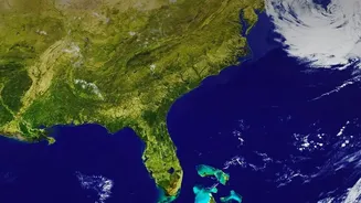
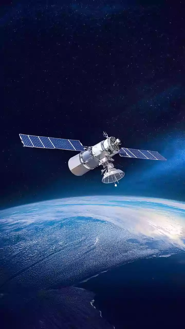
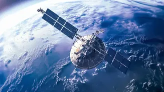
Earth Observation (EO) is exactly what it sounds like: watching our planet from a distance using satellites. Think of it as a fleet of tireless photographers and surveyors orbiting hundreds of kilometres above us. These satellites are equipped with advanced
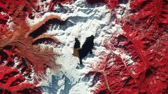
sensors that can see far more than the human eye. They capture data across different wavelengths of light, including visible, infrared, and microwave radar. This allows scientists to gather a huge range of information about the Earth's surface, from the health of forests to the temperature of the oceans. For water, this technology is a game-changer. Instead of relying solely on ground-based measurements from a limited number of locations, EO provides a comprehensive, big-picture view of entire river basins, lakes, and reservoirs. This synoptic coverage is crucial for understanding the dynamic nature of water resources.
The Toolkit: Satellites on a Mission
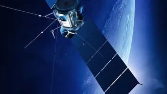
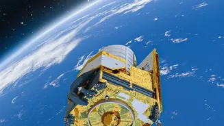
A variety of international and Indian satellites form the backbone of this aquatic monitoring system. Missions like the joint NASA/CNES Surface Water and Ocean Topography (SWOT) satellite are designed specifically to conduct the first-ever global survey of Earth's surface water. SWOT uses sophisticated radar technology to measure the height of rivers and lakes with incredible precision, giving us a 3D view of how water moves across the globe. Closer to home, the Indian Space Research Organisation (ISRO) plays a pivotal role. Through a recent agreement with the Ministry of Jal Shakti, ISRO is deepening its use of satellite applications for water management in India. This collaboration utilizes a constellation of Indian satellites to monitor everything from reservoir water levels and river flow to groundwater prospects and even the distribution of plastics in water bodies. The upcoming ISRO-CNES TRISHNA mission will further enhance this by tracking surface temperatures, which helps in assessing drought conditions and managing water use in agriculture.
From Pixels to Practical Data
So, what exactly are these satellites measuring? They track several key parameters that tell a seasonal story. First is the water surface area. By capturing regular images, scientists can see a lake or reservoir expand during the rainy season and shrink during dry periods. Second is water level or height, measured by radar altimeters that bounce signals off the water's surface. The SWOT mission, for example, can detect changes in elevation for rivers, lakes, and reservoirs every 21 days. Third is water quality. Certain sensors can detect the 'colour' of the water, which indicates the amount of chlorophyll from algal blooms or the quantity of suspended sediment, giving clues about the water's health. Finally, satellites like NASA's GRACE mission measure tiny changes in Earth's gravity field, which can be used to estimate the total amount of water stored in an area, including underground aquifers. Together, this data paints a detailed picture of water quantity and quality.
Tracking India’s Seasonal Rhythms
In a country dominated by the monsoon, the ability to track seasonal changes is critical. During the wet season, satellite data is invaluable for flood monitoring. It can identify and map flood-inundated areas in near real-time, helping authorities manage disaster response. As the seasons shift to the dry post-monsoon and summer periods, the focus turns to water storage and availability. Satellites monitor the depletion of water in reservoirs, helping in the efficient management of stored water for irrigation and drinking supplies. They can also track changes in soil moisture and evapotranspiration—the process of water moving from the land to the atmosphere—which are key indicators for forecasting agricultural drought. This seasonal monitoring allows for better planning, from optimising cropping patterns based on available water to issuing early warnings for both floods and droughts.