




A World Treasure on the Brink
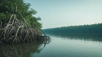
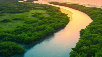
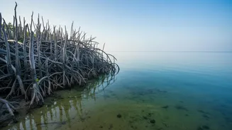
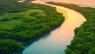
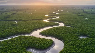
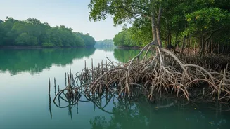
The Sundarbans, a sprawling maze of rivers, mudflats, and mangrove forests stretching across India and Bangladesh, is more than just a UNESCO World Heritage site. For millions, it is a protective barrier that absorbs the brunt of cyclones roaring in from
the Bay of Bengal. For the nation, it is a critical carbon sink and the last stronghold of the Royal Bengal Tiger. This unique ecosystem, however, is being relentlessly eroded by forces both natural and man-made. The sea level in the Sundarbans is rising at a rate more than double the global average, swallowing islands whole and pushing saltwater deep inland. Over the past few decades, this has led to devastating coastal erosion, poisoning agricultural land and forcing thousands from their homes.
The Challenge of an Ever-Changing Landscape
For years, monitoring the health of this vast and dynamic delta has been a monumental challenge. Scientists have largely relied on satellite imagery and periodic field surveys. While satellite data from programs like Landsat has been invaluable for tracking long-term changes in mangrove cover over decades, it often provides a delayed picture. These methods can miss the subtle, day-to-day shifts in a landscape defined by the constant ebb and flow of tides. In-person monitoring is expensive, time-consuming, and often dangerous in the dense, crocodile- and tiger-inhabited waterways. This has created a gap between the data collected and the real-time decisions needed to manage the escalating crisis.
The Rise of Real-Time Monitoring
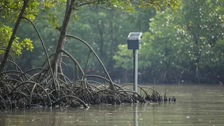
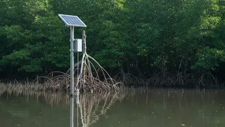
This is where telemetry and the Internet of Things (IoT) are creating a paradigm shift. Researchers are now deploying networks of low-cost, interconnected sensors to capture a live, high-resolution picture of the Sundarbans' environment. These rugged devices, placed strategically across the delta, act as a constant digital nervous system. Instead of waiting months for a satellite pass and analysis, these systems can transmit crucial data every few minutes or hours. They measure a wide array of parameters, including water level and flow, tidal height, soil and water salinity, moisture, and even sound quality to detect unusual activity like illegal logging. This constant stream of information provides an unprecedented view into the mechanics of tidal impact and erosion.
From Data Streams to Lifesaving Strategies
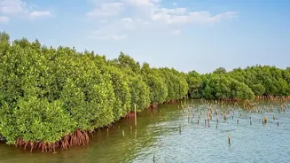
The power of this new approach lies in its immediacy. By tracking how tidal surges move through the creeks and how salinity levels fluctuate with each tide, conservationists can pinpoint exactly which areas are most vulnerable. This data is critical for planning and validating the effectiveness of mangrove restoration projects, which are essential for stabilising the coastline. For the communities living within the Sundarbans, this technology can power early-warning systems for floods and storm surges, giving them precious time to evacuate. It allows authorities to move from reactive crisis management to proactive, data-driven conservation. Projects like the recently launched Conservation and Restoration Initiatives in the Sundarbans Region (CRIS) aim to integrate such science-based planning to bolster the resilience of both the ecosystem and its inhabitants.