





India's New Sentinel in Geosynchronous Orbit
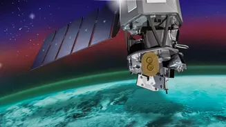
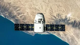
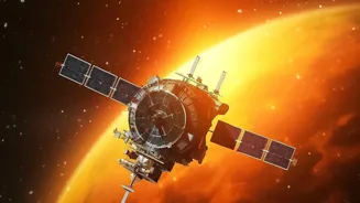
On September 4, 2026, ISRO successfully launched its state-of-the-art Earth observation satellite, EOS-05, marking a major milestone for the nation's space program. Unlike many other remote sensing satellites that orbit closer to Earth, EOS-05 is positioned
in a geosynchronous orbit approximately 36,000 kilometres above the planet. At this altitude, the satellite's speed matches the Earth's rotation, allowing it to remain stationary over the Indian subcontinent. This unique positioning enables it to provide near continuous, real-time imagery of a large geographical area, a significant leap from the periodic passes of its predecessors. Dubbed 'the eye in the sky,' this advanced satellite is set to revolutionize how India monitors its land, weather, and borders.
The Technology Powering the Vision
At its core, EOS-05, also known as GISAT-1A, is an advanced imaging satellite. It is equipped with high-resolution multi-spectral and hyperspectral imagers, which capture data across various wavelengths of light, including visible, near-infrared, and short-wave infrared. This technology allows it to see far more than the human eye. It can distinguish between different crop types, assess vegetation health, and detect changes in water bodies with remarkable precision. One of its imagers boasts a spatial resolution of 42 metres, reportedly the highest for any camera placed in a geostationary orbit. This means it can provide images of the entire Indian landmass roughly every 30 minutes, and focus on specific areas of interest for imaging every five minutes, offering an unprecedented frequency of observation.
A Boost for Farmers and Food Security
One of the most significant applications of EOS-05 is in agriculture. For a nation where farming is the backbone of the economy, the ability to monitor crops on a large scale is transformative. The satellite's data will provide crucial insights into soil moisture, crop health, and potential pest infestations. This information feeds into national programs like Forecasting Agricultural output using Space, Agrometeorology and Land-based observations (FASAL), which helps in generating accurate, pre-harvest crop forecasts. By identifying stress in crops early, authorities can implement timely interventions. Furthermore, insurance companies can use this verifiable data to assess crop damage after events like floods or droughts, speeding up claim settlements for farmers.
A Guardian Against Natural Disasters
EOS-05’s ability to provide near real-time imagery makes it a formidable tool for disaster management. During rapidly unfolding events like cyclones, floods, or forest fires, timely information is critical for saving lives and property. The satellite can monitor cloudbursts, track the path of cyclones, and map the extent of flood inundation almost as it happens. This allows disaster response agencies to make informed decisions, directing resources to the most affected areas and issuing timely evacuation warnings. The frequent updates will dramatically improve India’s preparedness and response capabilities, mitigating the impact of natural calamities that affect millions across the country each year.
Shaping Sustainable Development and Security
Beyond agriculture and disasters, the data from EOS-05 will support a wide range of applications for national development. It will help urban planners monitor the expansion of cities, manage precious water resources, and track environmental changes like deforestation and desertification. The satellite's continuous watch also has strategic importance, enhancing surveillance capabilities along India's borders. By providing a comprehensive and constantly updated picture of the nation's changing landscapes, EOS-05 serves as a vital instrument for ensuring both environmental health and national security, guiding India towards a more resilient and sustainably managed future.