




The Ocean’s Invisible Forests
They are too small to see with the naked eye, but they are the foundation of nearly all life in the sea. These organisms are phytoplankton, single-celled plants that drift in the sunlit upper layers of the ocean. Like plants on land, they photosynthesize,
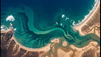
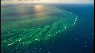
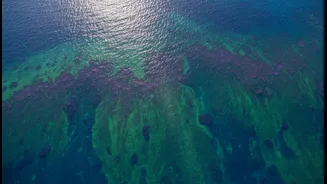
consuming carbon dioxide and releasing about half of the oxygen we breathe. When conditions are right—with ample sunlight and nutrients—their populations can explode, creating massive “surges” or blooms that can be seen from space. These blooms are the engine of the marine food web, feeding everything from tiny zooplankton to massive whales. Understanding their dynamics is crucial for monitoring fisheries, ocean health, and the global carbon cycle.
A View from Above the Waves
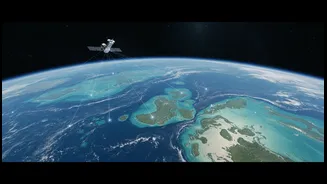
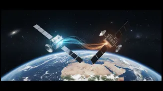
For decades, studying these blooms on a global scale was a monumental challenge. Research vessels could only sample small patches of a vast, ever-changing ocean. That all changed with the advent of satellite technology. NASA has been a pioneer in this field, launching a series of Earth-observing satellites that provide a continuous, worldwide view of the oceans. Missions like Aqua, Terra, and the advanced Plankton, Aerosol, Cloud, ocean Ecosystem (PACE) satellite, launched in 2024, are specifically designed to monitor the 'color' of the ocean. These orbital sentinels give oceanographers an unprecedented ability to see where and when blooms are occurring, tracking their size and movement daily.
Translating Light into Data
But how does a satellite in orbit 'see' microscopic plants? It doesn't see the plants themselves, but rather their collective effect on the water’s color. The process begins with telemetry, which, in its simplest form, means collecting measurements remotely and transmitting them. The satellites' advanced sensors, called instruments like the Ocean Color Instrument (OCI) on PACE, are hyperspectral radiometers. They measure the light reflecting off the ocean's surface across hundreds of different wavelengths, from the ultraviolet to the infrared. Phytoplankton contain chlorophyll, a pigment that absorbs blue and red light for photosynthesis and reflects green light. The more chlorophyll in the water, the greener it appears. This data, the specific signature of reflected light, is beamed back to Earth as telemetry.
From Raw Signals to Actionable Insights
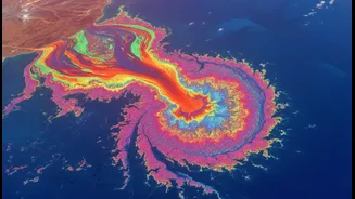
Once the telemetry reaches ground stations, scientists and powerful computer algorithms get to work. They first must correct for atmospheric interference—the haze and clouds that can obscure the view. After this correction, the raw data on light intensity is converted into meaningful oceanographic information, such as chlorophyll concentration. Modern satellites like PACE can go even further. By analyzing the subtle variations in the ocean's color across many wavelengths, scientists can now start to differentiate between different types of phytoplankton. This is a huge leap forward, as it helps distinguish harmless blooms from potentially toxic Harmful Algal Blooms (HABs) that can endanger marine life and human health.
Guiding the Science on the Ground
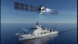
This satellite data is not just for making colourful maps; it is a vital tool that guides the work of oceanographers. With near real-time information on bloom locations, researchers can direct ships to specific areas for in-water sampling, a process known as 'ground-truthing'. These physical samples help validate and refine the satellite algorithms, creating a powerful feedback loop. The data also helps scientists predict how ocean ecosystems will respond to climate change, as warming waters are expected to alter phytoplankton productivity. By providing a global, long-term record, NASA's satellite telemetry allows us to monitor the pulse of our oceans, offering indispensable insights into the health of our planet.