



An Unprecedented Eye in the Sky
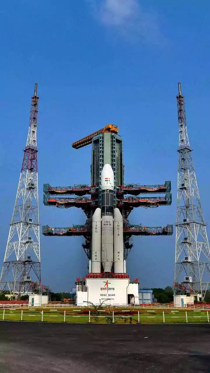
The NASA-ISRO Synthetic Aperture Radar (NISAR) mission is a landmark collaboration between the two space agencies, resulting in the world's most expensive Earth-imaging satellite. Launched in July 2025, this state-of-the-art observatory is designed to monitor
our planet's complex processes with remarkable precision. Unlike standard optical satellites that are often hindered by clouds or darkness, NISAR uses advanced radar technology to scan the Earth's surface day and night, in all weather conditions. Its primary goal is to make global measurements of land surface changes, tracking everything from the slow creep of glaciers to the subtle shifts that precede earthquakes. For India, one of its most vital tasks is to keep a watchful eye on the nation's precious forest ecosystems.
Seeing Through the Canopy with Dual Radar
What makes NISAR a game-changer is its unique dual-frequency radar system, a world first for a satellite mission. It carries both an L-band radar, provided by NASA, and an S-band radar, built by ISRO. Think of it as having two different types of vision. The shorter-wavelength S-band is excellent for observing crop health and soil moisture, while the longer-wavelength L-band has the remarkable ability to penetrate through dense forest canopies. This allows scientists to see beyond the topmost layer of leaves and measure the structure of the branches and trunks below. By combining data from both radars, researchers can build a detailed three-dimensional picture of the forest, from the top of the canopy to the ground. This provides a wealth of information that was previously impossible to gather on a large scale.
The 'Crucial Data' for India's Forests
So, what exactly is this crucial data NISAR is capturing? It revolves around measuring forest 'biomass' – the total amount of organic material, like trees and shrubs, in a given area. This is a critical indicator of a forest's health and, importantly, how much carbon it stores. With its 12-day repeat cycle over the entire globe, NISAR can detect subtle changes in forest cover and structure. This means it can provide early warnings for deforestation, track the damage caused by forest fires or illegal logging, and monitor the progress of reforestation efforts. For the first time, Indian environmental agencies and scientists have access to consistent, high-resolution data that can differentiate between a healthy, thriving forest and one that is slowly degrading, a type of loss that was often missed by previous monitoring systems.
From Data to Climate Action
This detailed information is far more than just an academic exercise; it has profound real-world implications for India. The data allows for a much more accurate accounting of the nation's carbon stocks, which is essential for meeting climate goals and participating in international carbon markets. It will enable forest managers to respond more quickly to threats like fires, as seen with the recurring fires in Similipal Tiger Reserve, where the need for a faster response to satellite data has been highlighted. Furthermore, the information on forest health and soil moisture can help predict and mitigate landslides in vulnerable areas like the Himalayas and improve water management for agriculture. By making all its data freely and openly available, NISAR empowers researchers, policymakers, and disaster management agencies to make more informed, data-driven decisions.
A Landmark Partnership for the Planet
The success of the NISAR mission is a testament to the powerful scientific and technological partnership between India and the United States. The joint development of this complex satellite, combining the expertise of both NASA and ISRO, represents a shared commitment to tackling some of the world's most pressing environmental challenges. While NISAR's capabilities are global, its specific focus on Indian objectives—from monitoring Himalayan glaciers to tracking agricultural patterns and forest health—makes it an invaluable national asset. It's a collaboration that extends beyond the spacecraft itself, fostering a global community of researchers dedicated to understanding and protecting our changing planet.