





An Eye in the Sky That Never Blinks
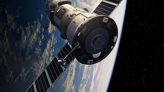
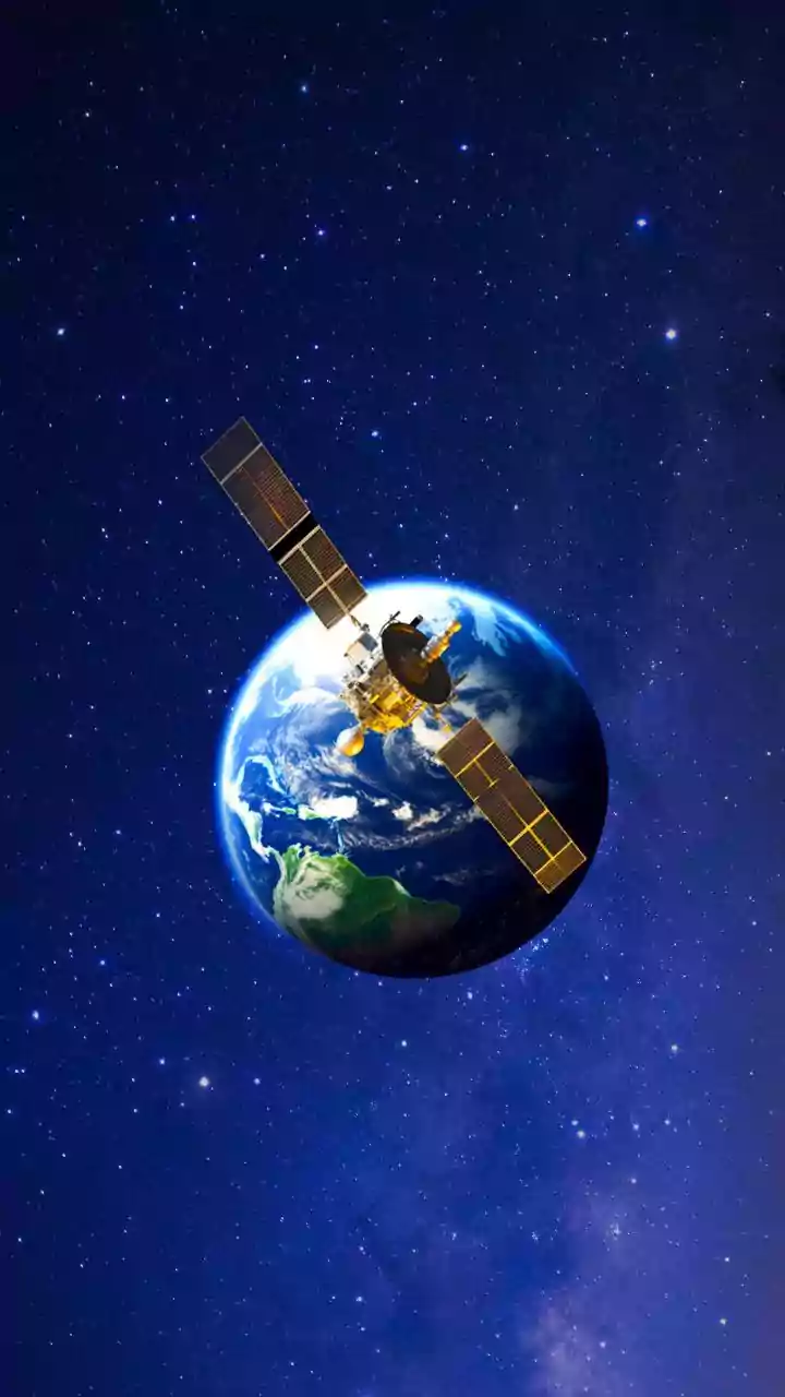
The mission, known as NISAR (NASA-ISRO Synthetic Aperture Radar), is one of the most sophisticated Earth observation satellites ever built. A monumental collaboration between the Indian Space Research Organisation (ISRO) and the U.S. National Aeronautics
and Space Administration (NASA), NISAR is designed to do something remarkable: track changes in Earth's land and ice surfaces with astonishing precision. The satellite will orbit the Earth and scan nearly the entire planet every 12 days, creating a comprehensive and regularly updated map of its movements. This isn't just about taking pictures; it's about creating a detailed, dynamic understanding of our living planet, detecting changes as small as a centimeter. The partnership is a milestone in itself, marking the first time the two space agencies have collaborated on hardware for an Earth-observing mission.
The Magic of Seeing Through Clouds
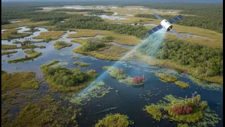
So, how does NISAR see in total darkness or through dense clouds? The answer lies in its core technology: Synthetic Aperture Radar, or SAR. Unlike a typical camera that needs light (passive sensing), SAR is an active system. It sends out its own signals—pulses of microwave energy—and then records the echo that bounces back. Because these radar waves have a much longer wavelength than visible light, they can easily penetrate clouds, smoke, fog, and rain. This gives it a major advantage over optical satellites, which are useless at night or on a cloudy day. By using a clever processing technique that combines signals gathered as the satellite moves, it can simulate a massive antenna, creating incredibly high-resolution images from orbit. This 'synthetic aperture' allows it to achieve a level of detail that would otherwise require a physically impossibly large antenna on the spacecraft.
A Dual-Frequency Advantage
What makes NISAR truly unique is that it's the first satellite mission to use two different radar frequencies simultaneously: the L-band (from NASA) and the S-band (from ISRO). Think of it as having two different types of vision. Different wavelengths interact with surfaces in different ways. The longer L-band waves can penetrate deeper, through forest canopies to see the ground and tree trunks beneath, making it ideal for mapping deforestation and biomass. The shorter S-band is excellent for observing crop structures and soil moisture, and is less disturbed by the Earth's ionosphere, making it useful in polar regions. This dual-frequency approach provides a much richer, more comprehensive dataset than either frequency could alone, enabling a vast range of scientific applications.
Why This Mission Matters for India
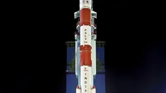
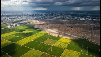
For India, the applications of NISAR's data are immediate and critical. The satellite's ability to monitor agricultural land will provide invaluable insights for crop management and food security, tracking everything from soil moisture to the health of standing crops. It will provide crucial data for disaster management, helping to create damage maps within hours of an event like an earthquake, flood, or landslide, enabling faster and more effective response. Furthermore, NISAR will closely monitor the Himalayan glaciers, which are a vital source of water for a significant portion of the country; tracking their melt rates is essential for water resource management and understanding climate change impacts. ISRO's deep involvement, providing the S-band radar, the spacecraft itself, and the launch vehicle, also cements India's position as a major player in global space technology.
A Global Tool for a Changing Planet
Beyond its direct benefits to India and the US, NISAR offers a powerful tool for the entire global community. The data collected will be free and open to the public, democratizing access to vital environmental information. Scientists worldwide will use it to monitor the collapse of ice sheets, measure sea-level rise, understand the dynamics of volcanoes, and track the global carbon cycle. From monitoring the health of remote forests in the Amazon to tracking groundwater supplies in drought-stricken regions, NISAR will provide a consistent, reliable, and detailed stream of information. This data will improve climate models, inform policy decisions, and ultimately help humanity better manage and protect its only home.