




An Eye in the Sky for Fields of Green
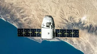
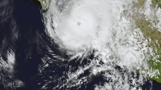
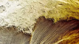
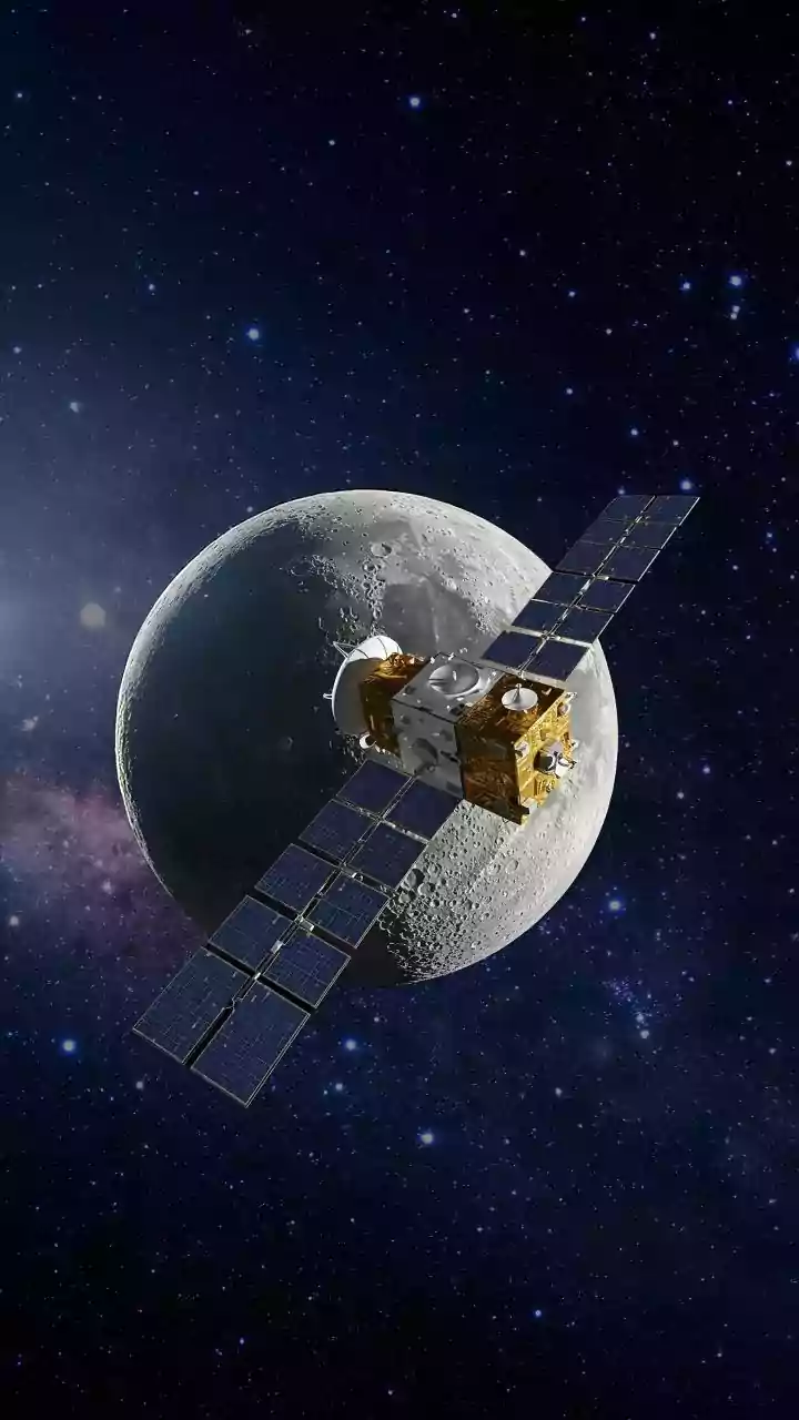
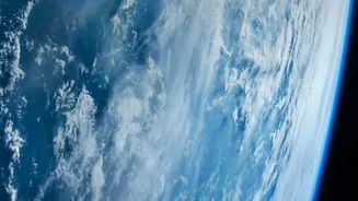
At its core, satellite crop monitoring uses a technique called remote sensing. Satellites equipped with advanced sensors capture images of the Earth's surface. These aren't just regular photos; they capture light from different parts of the spectrum,
including visible and near-infrared (NIR) light. This is crucial because healthy, thriving plants reflect light differently than stressed or sparse ones. In India, organisations like the Indian Space Research Organisation (ISRO) operate satellites such as Resourcesat-2 and RISAT-1A, which are workhorses for agricultural monitoring, providing data day and night, regardless of cloud cover. This constant stream of information allows for continuous tracking of farmland across the country.
The Plant's Health Report Card: NDVI
One of the most powerful tools derived from this satellite data is the Normalized Difference Vegetation Index, or NDVI. Think of it as a universal report card for plant health. Healthy vegetation is rich in chlorophyll, which absorbs a lot of red light for photosynthesis but reflects near-infrared light strongly. Stressed plants do the opposite. The NDVI calculation contrasts these two reflections, producing a simple index value that quantifies the greenness and density of vegetation on the ground. A high NDVI value indicates a lush, healthy crop, while a low value can signal problems like drought stress, nutrient deficiency, or pest attacks, often before these issues are visible to the naked eye.
Beyond Just Greenness
While NDVI is a key metric, satellites can reveal much more. They can measure soil moisture by using microwave sensors, which is critical for planning irrigation and managing water resources efficiently, especially in a water-scarce country like India. Satellites also monitor land surface temperature, which can indicate water stress in plants. By combining data on vegetation health, water availability, and temperature, it's possible to build a comprehensive picture of a farm's condition. This allows for the creation of detailed field maps that highlight variability, showing which parts of a field are thriving and which need attention.
From Data to Actionable Decisions
Raw satellite data is complex, but modern agricultural technology platforms process it into simple, actionable insights for farmers. This is the core of precision agriculture. Instead of treating a whole field uniformly, farmers can use satellite-derived maps to apply resources exactly where they are needed. For example, these insights can generate prescription maps for variable-rate fertilization, ensuring that nutrients aren't wasted on healthy zones and are directed to deficient areas. Similarly, irrigation schedules can be optimized, saving immense amounts of water. This targeted approach not only increases efficiency and reduces costs but also boosts crop yields, with studies showing potential increases of 10-25%.
A National View for Food Security
The benefits extend far beyond individual farms. On a national level, this technology is vital for food security. Government bodies use satellite data to forecast agricultural output for major crops well before harvest. In India, programmes like FASAL (Forecasting Agricultural output using Space, Agro-meteorology and Land-based observations) provide crucial pre-harvest production estimates for crops like wheat, paddy, and cotton, covering hundreds of districts. This information is essential for managing supply chains, planning for storage, setting market prices, and making policy decisions. It also plays a significant role in crop insurance schemes by providing objective data to assess yields and damage from events like floods or droughts.