



The View from Above
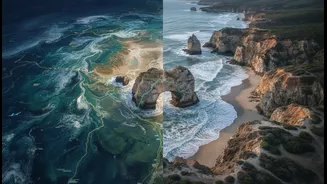
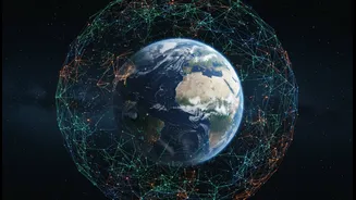
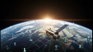
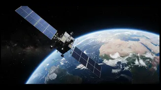
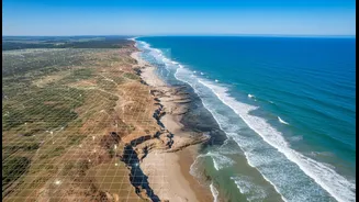
From their orbit high above the Earth, satellites provide a crucial, large-scale perspective on coastal erosion. Using advanced imaging, programs like Landsat and Sentinel can track changes in shoreline positions, measure the loss of land, and monitor
shifts in sediment with remarkable precision over decades. This technology allows scientists to quantify the speed of erosion across vast, often inaccessible, coastlines, turning anecdotal observations into hard data. For researchers, this birds-eye view is invaluable for identifying hotspots, understanding the impact of major storms, and creating predictive models that show how coastlines might change in the future. It's an objective, data-driven approach that forms the backbone of modern environmental monitoring.
The Wisdom from the Ground
Long before satellites, coastal communities, particularly Indigenous peoples, were the original shoreline scientists. This is what's known as Traditional Ecological Knowledge (TEK)—a holistic understanding of an environment passed down through generations. This 'lived knowledge' isn't just a collection of stories; it's a rich database of observations about tides, currents, seasonal changes, and historical events that satellite data can't capture. An elder might recall where the high-tide line was decades ago, or how a particular type of storm affects a specific cove. This knowledge is deeply local, nuanced, and provides crucial context. Inuit hunters, for instance, can often 'read' sea ice conditions with more accuracy than scientific forecasts. This kind of insight adds a vital human dimension that data points alone lack.
Bringing Two Worlds Together
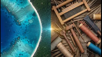
The real power emerges when these two ways of knowing—the satellite's broad view and the community's deep experience—are combined. Researchers are finding that integrating TEK with satellite data creates a much richer, more accurate picture. A satellite might show that a bay is becoming shallower, but local fishers can explain why: shifting currents caused by a new jetty or changes in vessel traffic. A recent project with the Passamaquoddy community in Maine, for example, successfully blended NASA satellite imagery with elders' stories and even 300-year-old tribal maps to understand and measure shoreline loss. This collaborative approach can validate scientific findings, generate new hypotheses, and produce erosion maps that are not only scientifically robust but also culturally relevant and trusted by the community they are meant to serve.
The Critical Issue of Ownership and Respect
However, this integration is not without serious challenges. For generations, Indigenous knowledge has been extracted by outside researchers without permission, credit, or benefit to the community. This has led to a crucial movement for 'Indigenous Data Sovereignty'—the right of Indigenous peoples to control data from and about their communities, lands, and resources. This means they have the right to govern how their knowledge is collected, used, and shared. True collaboration requires moving beyond seeing TEK as just another dataset to be plugged into a Western scientific model. It demands that researchers build genuine partnerships based on trust, obtain proper consent, and ensure that the community has ownership and authority over its own cultural information.
A Path Forward Built on Partnership
The future of effective coastal management depends on creating equitable frameworks for these partnerships. This involves establishing clear protocols for data sharing and benefit distribution, and recognizing that Indigenous knowledge is a valid system in its own right, not something that needs to be 'validated' by Western science. This can be achieved through community-led projects where local leaders and knowledge holders are equal partners in the research process from start to finish. By viewing satellite technology as a tool to serve and empower local expertise, rather than replace it, communities can build erosion maps that are not only more accurate but also deeply grounded in their own history and values, leading to better, more sustainable decisions for protecting their homes and heritage.