


What is NISAR?
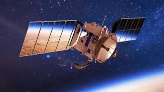
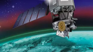
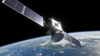
NISAR, which stands for NASA-ISRO Synthetic Aperture Radar, is a groundbreaking Earth observation mission and a testament to the powerful collaboration between the US and Indian space agencies. Launched in July 2025, this sophisticated satellite is equipped
with advanced radar instruments designed to monitor our planet in incredible detail. Unlike a standard camera, NISAR uses radar to create images, allowing it to see through clouds, darkness, and even dense forest canopies. Its primary goal is to make global measurements of the causes and consequences of land surface changes, from the slow creep of glaciers to the sudden upheaval of an earthquake.
A Deluge of High-Resolution Data
What makes NISAR truly revolutionary is the sheer volume and quality of the data it provides. The satellite is the first to use two different radar frequencies, L-band and S-band, to measure changes in our planet's surface with astonishing precision—down to less than a centimetre. It will scan nearly all of Earth's land and ice surfaces every 12 days, generating a massive, consistent, and long-term dataset. Since July 2026, these datasets have been made publicly available, with ISRO releasing S-band data through its Bhoonidhi portal and NASA providing L-band data. This free and open access policy is a deliberate strategy to empower scientists, researchers, and policymakers around the globe.
Training Smarter Climate Models
The headline's mention of "climate data training" points to one of the most critical applications of this new resource. Climate models are complex computer simulations that try to predict future environmental conditions. The better the data you feed them, the more accurate they become. By providing a continuous stream of high-resolution information on ice sheet movements, deforestation, soil moisture, and carbon storage in forests, NISAR provides the raw material to significantly improve these models. This allows scientists to better understand the long-term trends of climate change and refine their predictions for its impact, much like how analyzing historical weather radar data helps improve severe storm forecasting.
Immediate Impact on Disaster Management
Beyond long-term climate modeling, NISAR's data has immediate, practical applications, particularly for disaster management in a country like India. The satellite's ability to detect subtle surface changes makes it an invaluable tool for monitoring seismic zones for earthquake risks, identifying areas prone to landslides, and tracking land subsidence in urban areas. In the event of a natural disaster, NISAR can provide expedited data to response teams, helping them assess damage and deploy resources more effectively. For example, it can precisely map flood inundation even under heavy cloud cover, a major limitation for traditional optical satellites.
A Boost for India's Scientific Community
For India, NISAR is more than just another satellite. ISRO's role as a key partner in developing and operating the S-band radar system marks a significant milestone. The mission is tailored to address specific Indian priorities, including monitoring Himalayan glaciers, tracking agricultural biomass to ensure food security, and studying coastal processes. The open availability of this world-class data through platforms like Bhoonidhi will empower Indian universities, research institutions, and startups, fostering innovation and creating new applications that can address some of the country's most pressing environmental and developmental challenges.