



A Forest of Unprecedented Challenges
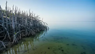
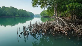
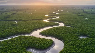
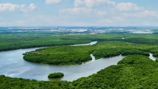
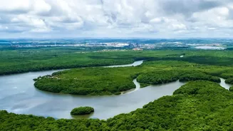
Covering over 10,000 square kilometres of labyrinthine waterways, dense forests, and shifting mudflats, the Sundarbans presents a near-impossible challenge for conservationists. For decades, monitoring relied on manual, on-site surveys—a process that
is not only expensive and time-consuming but also fraught with danger. Patrol boats can only cover so much ground, and data collection is often sporadic. Key indicators of the ecosystem's health, such as changes in water salinity, soil erosion, and sea-level rise, were often recorded months apart, if at all. This meant that by the time a problem like dangerously high salinity was detected, significant damage to the delicate mangrove species might have already occurred. This reactive approach has long hampered proactive conservation in a region facing increasing threats from climate change, pollution, and human activity.
The Rise of a Digital Nervous System
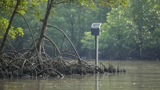
Enter telemetry sensor networks. This isn't one single technology, but a suite of interconnected devices—from satellite-linked sensors to ground-based IoT devices and camera traps—that function as a digital nervous system for the forest. These networks deploy an array of specialised sensors that continuously measure critical environmental variables. Key data points include water salinity, which dictates which mangrove species can survive; soil moisture and nutrient levels; water levels to track tidal patterns and flooding; and wave energy, which helps determine the forest's effectiveness as a coastal buffer. Unlike manual surveys, this data is collected in near-real-time and transmitted wirelessly to a central hub, allowing scientists and forest managers to see a live, dynamic picture of the ecosystem's health for the first time.
From Data to Decisive Action
This constant stream of information is revolutionising how conservation decisions are made. Instead of relying on historical data, officials can now respond to threats as they emerge. For example, if a network of sensors detects a sudden spike in salinity in a specific creek, authorities can investigate the cause—perhaps a blocked freshwater channel—and take immediate action before the local mangroves die off. These networks are also integrated with remote sensing technologies like drones and satellite imagery. Drones equipped with high-resolution cameras can map areas flagged by sensors, assessing damage after a cyclone or identifying patches of deforestation with pinpoint accuracy. Some initiatives even use drones for 'seed bombing'—dropping seed balls into degraded areas, a method that has reportedly increased forest cover in some parts of the Sundarbans.
Guarding the Guardians and Wildlife
The revolution isn't just about trees and water; it’s also about protecting the region's iconic wildlife and the people who live alongside it. AI-powered camera traps and specialised sensor systems are being piloted to create early-warning systems for human-wildlife conflict. An Animal Intrusion Detection and Repellent System (ANIDERS), for instance, uses motion sensors to detect when a Royal Bengal Tiger strays towards a village, sending real-time alerts to forest officials and villagers. This allows for non-lethal intervention, protecting both human lives and the endangered tigers. Furthermore, this surveillance network makes illegal activities like poaching and logging far more difficult. The Spatial Monitoring and Reporting Tool (SMART) has already been shown to significantly reduce crime rates in the forest by allowing for better-managed patrols.