






A New Policy Frontier
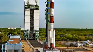
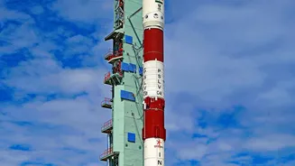
The game-changer is the Indian Space Policy 2023. This policy marks a strategic pivot, moving the Indian Space Research Organisation (ISRO) towards a primary role in research and development, while opening the doors for private companies to take over
operational activities. The goal is to grow India’s share of the global space economy by fostering innovation and commercialization. A key enabler of this is the Indian National Space Promotion and Authorisation Centre (IN-SPACe), which acts as a single-window agency to authorize and supervise private space activities. It facilitates access to ISRO’s facilities and promotes the growth of a robust startup ecosystem, which has already seen a surge in investment and proposals since its inception.
Smarter Farming from Space
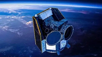
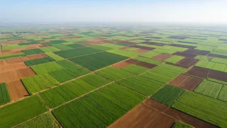
Perhaps the most immediate and impactful application of this new data economy is in agriculture. Startups are now using high-resolution satellite imagery, combined with AI, to provide unprecedented insights to farmers, lenders, and insurers. Companies like Pixxel, SatSure, and Terrastack are developing platforms that can monitor crop health, estimate yields, assess soil moisture, and even detect pest infestations from space. This allows for 'precision agriculture,' where farmers can optimize the use of water, fertilizers, and pesticides, leading to better productivity and sustainability. For financial institutions, this data provides a more accurate way to assess risk for farm loans and insurance claims, a process that was once heavily reliant on manual and often inaccurate ground surveys. The market for these services is growing rapidly, with some projections showing India's satellite data services market reaching over USD 1 billion by 2028.
Building a Better-Connected India
Satellite data is also becoming crucial for managing and monitoring India’s massive infrastructure push. Under initiatives like the PM Gati Shakti National Master Plan, satellite imagery and Geographic Information Systems (GIS) are used to integrate planning across various ministries. This allows for a holistic view of projects, helping to track the progress of highways, railway lines, and ports in near real-time. By providing a 'single source of truth,' satellite monitoring helps identify bottlenecks, manage land acquisition, and ensure environmental compliance without constant physical inspections. This data-driven approach reduces delays and costs, ensuring that projects like new roads and pipelines are laid out in a coordinated manner, preventing the wasteful practice of repeatedly digging up newly built infrastructure. Startups and established tech firms are now developing specialized constellations and analytics platforms specifically for infrastructure monitoring.
Climate Resilience and New Markets
Another burgeoning field is climate tech. Satellite data offers a powerful tool for monitoring environmental changes and building resilience against climate-related risks. Indian startups are at the forefront of this, using satellite intelligence to tackle complex challenges. For instance, companies like Varaha Climate and Farmers for Forests use satellite and drone imagery to verify regenerative farming practices and measure carbon sequestration in agroforestry projects. This creates a verifiable basis for smallholder farmers to participate in global carbon credit markets, opening up new revenue streams. Other applications include early warning systems for floods and cyclones, monitoring deforestation and wildfire risks, and even helping to plan the placement of renewable energy projects like solar farms by analysing rooftop potential on a massive scale.