
An All-Weather Eye in the Sky
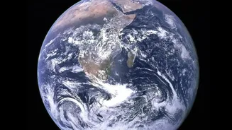
During a severe flood, ground-level views are chaotic and incomplete. Roads are submerged, communication lines are down, and vast areas are inaccessible. This is where satellites provide a game-changing perspective. They offer a synoptic view, capturing
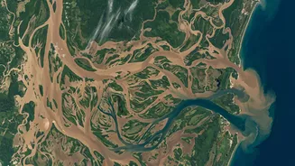
the full extent of the disaster over thousands of square kilometres in a single pass. Unlike ground surveys, which are time-consuming and often impossible during a crisis, satellite imagery provides a near real-time snapshot of the situation, showing exactly which villages are cut off, which farmlands are inundated, and how the floodwaters are moving.
The Magic of Radar: Seeing Through Clouds
A major challenge during monsoons is persistent cloud cover, which blinds traditional optical satellites that work like a camera. This is overcome by using Synthetic Aperture Radar (SAR) satellites. SAR doesn't rely on light; instead, it sends its own microwave pulses to the Earth's surface and reads the signals that bounce back. Calm, standing water acts like a mirror and reflects the radar signal away, appearing black in the final image. This allows SAR to effectively 'see' through clouds, smoke, and even darkness, making it an indispensable tool for flood mapping during the most severe weather conditions.
ISRO's Sentinels Guarding India
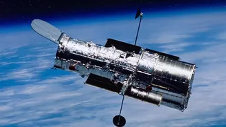
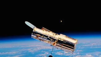
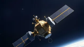
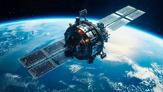
India's own space programme is at the forefront of this effort. The Indian Space Research Organisation (ISRO) operates a fleet of Earth observation satellites that are pivotal for disaster management. Satellites like the RISAT series (including EOS-04) are equipped with SAR technology specifically for all-weather surveillance. Other satellites like Resourcesat and Cartosat provide high-resolution optical imagery for damage assessment once the skies clear. This data is processed by the National Remote Sensing Centre (NRSC) in Hyderabad, which generates crucial flood inundation maps within hours of a satellite pass. These maps are then shared with national and state disaster management authorities to guide relief and rescue operations on the ground.
From Data to Life-Saving Decisions
A satellite image itself is just data; its true power lies in how it's used. The maps created by NRSC highlight affected areas, showing the depth and spread of water. This intelligence allows authorities to identify the worst-hit regions, plan evacuation routes, locate stranded populations, and direct relief supplies like food and medicine to where they are needed most. For example, during floods in Assam, ISRO provided dozens of flood inundation maps to the state's disaster management authority, enabling a more targeted response. Beyond immediate rescue, historical satellite data helps create Flood Hazard Zonation Atlases, identifying chronically flood-prone areas for better long-term planning and infrastructure development.
A Global Effort in Times of Crisis
India also participates in international collaborations to get the best possible satellite coverage during major disasters. One key initiative is the International Charter 'Space and Major Disasters', a pact between 17 space agencies worldwide. When a member country faces a large-scale disaster, it can activate the charter to get free and rapid access to satellite data from all partner agencies. This has been regularly activated for floods in India, such as those in Himachal Pradesh, Assam, and Kerala, providing a wealth of additional imagery that improves the frequency and detail of observations.
The View Isn't Always Perfect
While incredibly powerful, satellite technology has its limitations. Mapping floods in dense urban areas can be tricky, as tall buildings can create radar shadows and complex reflections that obscure the water below. Similarly, detecting flooding under thick forest canopies can be difficult. The accuracy of the maps also depends on the resolution of the satellite imagery and the timeliness of the satellite's pass over the affected area. Therefore, the data is most effective when combined with ground-level information and hydraulic models, a process known as 'data fusion', to create the most accurate picture possible.