

The Post-Monsoon Window: A Season of Transition
October and November are celebrated as the prime time for Himalayan travel. The monsoon has washed the dust from the atmosphere, offering stunningly sharp views of the peaks. The days are typically mild and the weather is considered stable, making it
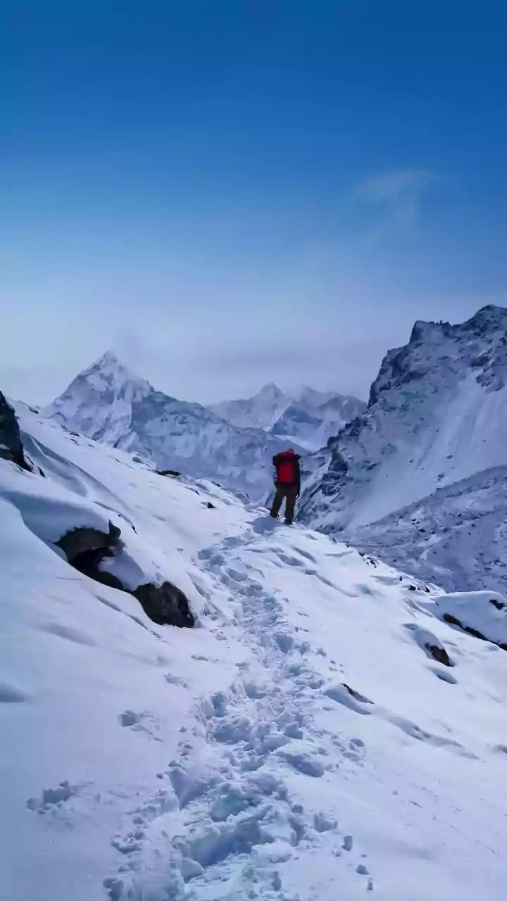
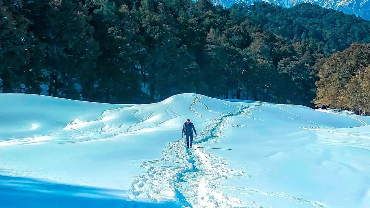
the busiest trekking season. However, this period is not without its risks. The transition from monsoon to winter can be volatile. The tail end of the monsoon can linger, and early winter storms, known as Western Disturbances, can arrive sooner than expected. As of mid-October 2026, forecasts from the India Meteorological Department (IMD) indicate unsettled conditions across Himachal Pradesh, Uttarakhand, and Jammu and Kashmir, with possibilities of rain, thunderstorms, and even snowfall at higher elevations. This highlights the unpredictable nature of the season, where clear skies can quickly give way to challenging weather.
Beyond Your Phone's App: The Need for Local Insight
While your standard weather app is useful for city forecasts, it often falls short in the mountains. The Himalayas create their own weather systems, known as microclimates, where conditions can vary dramatically from one valley to the next. A forecast for a nearby town might be completely different from the weather at a high-altitude pass just a few kilometers away. These apps might not capture localized wind patterns, sudden temperature drops, or the specific timing of precipitation. Relying solely on a generic forecast can be misleading and risky. This is why local knowledge and specialized forecasts are indispensable for mountain safety.
Decoding the Forecast: What to Look For
To get a true picture of the conditions, consult resources from the India Meteorological Department (IMD). The IMD provides district-wise warnings and detailed bulletins that are far more specific than global apps. When reading these forecasts, pay attention to more than just the rain icon. Look for mentions of 'Western Disturbances', which are storm systems originating from the Mediterranean region that bring winter rain and snow to northwest India. Also, monitor the 'freezing level'—the altitude at which rain turns to snow. A dropping freezing level is a critical indicator that conditions are becoming more severe at higher elevations. Other key phrases to watch for include 'gusty winds', which can make ridges dangerous, and 'thunderstorms', which can develop rapidly in the afternoons.
Reading the Mountain's Signs
Beyond official forecasts, learning to read the environment is a crucial skill. Local guides are invaluable, as they have years of experience interpreting the mountain's signals. However, you can also watch for signs yourself. Clouds are a key indicator. Puffy cumulus clouds might look harmless, but if they begin to grow taller and darker, they can signal an impending storm. Wispy, high-altitude cirrus clouds can also be a precursor to bad weather arriving within 24 hours. Pay attention to wind direction; if clouds are moving against the prevailing wind, it often suggests deteriorating conditions. A sudden, unusual rise in temperature can also be a sign of an approaching storm front.
Safety Is Part of the Adventure
Ultimately, a weather forecast is a tool for planning, not a guarantee. The smartest decision is always the safest one. When planning your trek, build in buffer days to account for potential weather delays. Always dress in layers—a moisture-wicking base, an insulating mid-layer, and a waterproof/windproof outer shell—so you can adapt to rapid changes. Make sure your guide has a communication plan, and never hesitate to turn back if conditions feel unsafe. The mountains reward respect and preparation, and sometimes the greatest adventure is knowing when to wait for a clearer day.