




A Planet of Cities
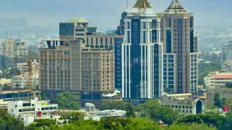
Urbanisation is one of the defining trends of our time. Across the globe, and particularly in India, populations are flocking to cities for opportunities, leading to rapid and often unplanned expansion. According to projections, India is expected to add
more than 400 million new urban residents by 2050. This incredible growth puts immense strain on infrastructure like roads, water supply, and housing. For decades, tracking this change was a slow, manual process relying on land surveys and census data, which quickly became outdated. Planners were often reacting to growth that had already happened. Today, that's changing thanks to remote sensing—the science of gathering information about the Earth from a distance.
The View from Orbit
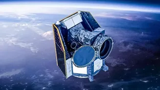
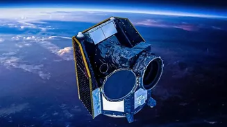
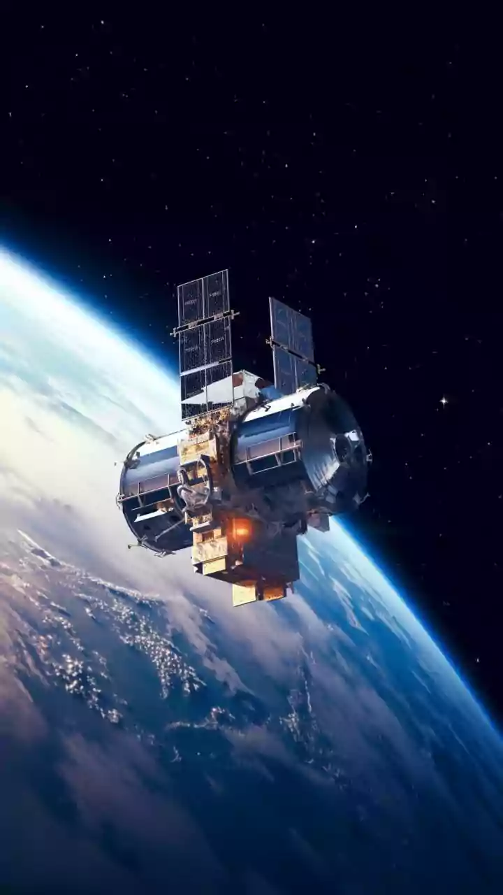
Modern urban monitoring relies on a fleet of Earth-observing satellites. These are not just cameras; they are sophisticated instruments capturing data across different parts of the electromagnetic spectrum. Publicly funded missions like the US Landsat program and Europe's Copernicus Sentinels provide a constant stream of imagery, allowing for consistent analysis over decades. In India, ISRO's own satellites like Cartosat and Resourcesat add crucial high-resolution data to the mix. Some satellites capture optical images, much like a digital camera, which are great for identifying features during the day. Others use radar, which can penetrate clouds and even 'see' at night, providing an uninterrupted flow of information. There are even satellites that measure the intensity of nighttime lights, which economists use as a proxy for economic activity and population density.
From Pixels to Patterns with AI
Raw satellite imagery is just a collection of pixels. The real magic happens when scientists use advanced analytics and artificial intelligence to interpret this data. The most common technique is 'change detection', where algorithms compare images of the same location taken at different times. Pixels that have changed colour or texture can signify new construction, a cleared forest, or a dried-up water body. More recently, machine learning and deep learning models have taken this a step further. By training AI on vast, annotated datasets, scientists can teach it to automatically identify and classify different types of urban landscapes—distinguishing between formal housing, informal settlements, industrial zones, and green spaces. What once required months of manual analysis can now be done at scale, providing timely and verifiable insights into how cities are evolving.
Informing India's Urban Future
This technology is not just an academic exercise; it has profound real-world applications for urban local bodies and planners in India. In rapidly expanding cities like Bengaluru and Pune, satellite data helps officials track sprawl that occurs outside the official master plan, identifying areas where new infrastructure is urgently needed. By overlaying settlement maps with hazard data, planners can see if new developments are being built in flood-prone areas or on unstable slopes, guiding smarter, more resilient growth. This data-driven approach allows for the proactive management of resources, from optimising public transport routes to planning the location of new schools and hospitals. It also helps in environmental monitoring, such as tracking the loss of green cover or the impact of construction on nearby water bodies.
Challenges and the Road Ahead
Despite its power, the technology is not without challenges. Cloud cover can obscure optical imagery, data processing requires significant computing power, and models must be carefully calibrated to avoid errors. Furthermore, a mixed land-use pattern, common in many Indian cities, can make automated classification difficult. However, as satellite technology improves and AI models become more sophisticated, these limitations are diminishing. The combination of different data types, like optical and radar, helps create a more complete picture. The ultimate goal is to move from simply monitoring urban growth to actively predicting it, allowing planners to stay ahead of the curve.