





The Challenge of a Sunken Past
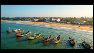
The coast of Tamil Nadu, particularly around historic sites like Poompuhar and Mahabalipuram, was a hub of maritime activity for centuries. Ancient texts speak of glorious port cities that engaged in transoceanic trade. However, forces like coastal erosion
and rising sea levels have submerged parts of this heritage, hiding it under metres of water and sediment. For archaeologists, the challenge is immense: how do you find and study man-made structures when you cannot see them? The murky waters and layers of sand mean that simply sending divers is not a viable first step. This is where technology takes the lead, allowing scientists to see without eyes.
Painting with Sound Waves
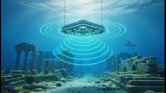
The first step in this high-tech treasure hunt is remote sensing. Marine archaeologists from institutions like the National Institute of Oceanography (NIO) and the National Institute of Ocean Technology (NIOT) use advanced sonar systems to peer through the water and map the seabed. The workhorse of this initial phase is the multibeam echosounder (MBES). Mounted on a research vessel, the MBES sends out a fan-shaped array of sound waves. These waves travel to the ocean floor, bounce back, and are recorded by a receiver. By measuring the time it takes for each 'echo' to return, the system calculates the precise depth, creating a detailed, three-dimensional topographic map of the seabed. This digital elevation model can reveal large-scale anomalies and unnatural formations that could be submerged structures.
Revealing Textures and Shapes
While multibeam sonar is excellent for mapping depth and creating 3D models, another tool called side-scan sonar provides a different kind of picture. Often towed behind a ship in a device called a 'towfish', the side-scan sonar also emits sound pulses, but it's designed to create detailed images of the seafloor's surface. It works much like an acoustic flashlight, sweeping from side to side. The intensity of the returning echoes translates into a black-and-white image that highlights the texture and shape of objects on the seabed. Hard surfaces like stone or brick reflect more sound and appear darker, while soft sediment appears lighter. This technology is crucial for identifying linear patterns that might be walls, scattered blocks, or even shipwrecks, distinguishing them from the natural, rocky seafloor.
Penetrating the Seabed
Often, ancient structures are not just sitting on the ocean floor but are buried under layers of sand and silt accumulated over centuries. To find these hidden features, archaeologists employ a sub-bottom profiler. This instrument uses low-frequency sound waves that can penetrate the seabed itself. As the sound waves pass through different layers of sediment and hit buried objects, they reflect back. The resulting data provides a cross-sectional view of what lies beneath the surface, similar to a geological slice. This was instrumental off the Poompuhar coast in identifying a submerged palaeochannel of the river Kaveri, buried 20 metres below the sea bottom.
Verifying the Digital Clues
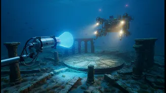
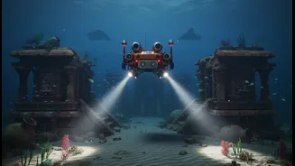
Sonar scans and profilers provide a map of possibilities, but they don't offer definitive proof. The final stage of mapping is ground-truthing, which involves direct observation. Once a promising target is identified, archaeologists deploy either human divers or Remotely Operated Vehicles (ROVs). In the waters off Mahabalipuram and Poompuhar, diving and airlift operations have been used to confirm the presence of structures indicated by geophysical surveys. Divers can visually inspect the sites, take measurements, and recover artifacts like pottery, bricks, and dressed stone blocks. These physical samples are crucial for dating the sites and confirming that the geometric shapes seen on sonar screens are indeed the remnants of ancient man-made structures.