






Two Ways of Knowing
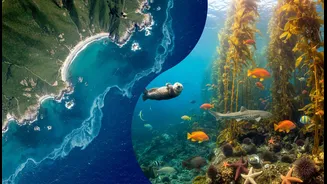
On one hand, there is Traditional Ecological Knowledge (TEK), a body of observations, oral histories, and cultural practices passed down through generations that provides a holistic view of the environment. It’s the kind of knowledge that understands
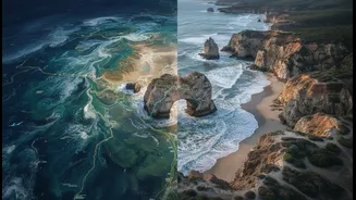
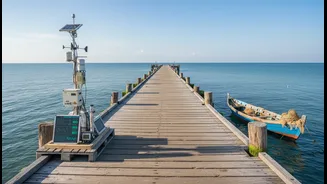
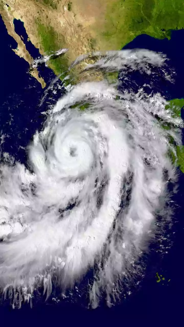
subtle shifts in wind patterns, the historical reach of storm surges, and the interconnectedness of local species. On the other hand, there is Western science, exemplified by the precise, large-scale data provided by Earth observation satellites. These tools can monitor vast areas, track changes in shoreline position, measure sea-surface temperatures, and detect trends that are too broad for the human eye to see alone. For a long time, these two systems of knowledge were often seen as separate, but as climate change accelerates, a new consensus is emerging: they are far more powerful together.
A Powerful Fusion for Climate Action
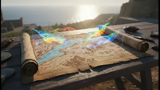
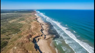
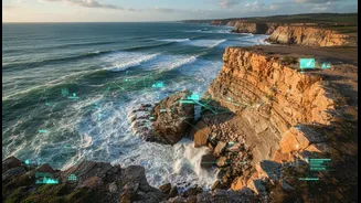
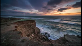
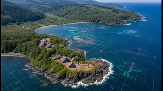
Combining satellite data with Indigenous knowledge creates a richer, more detailed picture of environmental change. For example, satellite imagery can confirm and quantify the erosion that community elders have observed over their lifetimes. In a project at the Pleasant Point Passamaquoddy Reservation in Maine, students used NASA satellite images alongside stories from elders and 300-year-old tribal maps to measure and understand the loss of their coastline. This fusion does more than just validate observations; it builds a bridge between qualitative, lived experience and quantitative, scientific evidence. This approach has proven effective in various contexts, from monitoring deforestation in the Amazon to managing rangeland dynamics in the Altai Mountains. In Peru, equipping Indigenous communities with satellite data on smartphones led to a significant reduction in illegal deforestation.
Putting Data into Community Hands
The true power of this integration lies in empowering local communities. When satellite data is made accessible and relevant, it becomes a tool for self-determination and proactive planning. In a pilot project with an Inuit community in Nunavut, Canada, an artificial intelligence model combined TEK, scientific data, and remote sensing to locate new commercial fishing locations as traditional ones were impacted by climate change. The system provided information in both Inuktitut and English, making the data directly usable by the community. This transforms residents from passive subjects of research into active participants and leaders in climate adaptation. By grounding high-tech data in local context and values, these projects create solutions that are not only scientifically sound but also culturally appropriate and sustainable.
Acknowledging the Limits and Challenges
However, bringing these two worlds together is not without its difficulties. The headline rightly points out that this combination does not remove all limits. Significant barriers remain, rooted in historical power imbalances, mistrust, and differing worldviews. Western scientific frameworks have historically marginalized or dismissed Indigenous knowledge. Issues of data sovereignty are paramount; communities must have control over how their knowledge is used, shared, and represented. Furthermore, there are practical challenges, such as communication gaps, lack of funding for collaborative projects, and the difficulty of translating complex scientific data into formats that are useful at the community level. True integration requires more than just extracting information; it demands mutual respect, long-term relationship building, and a fundamental shift in how knowledge is co-produced.