






The View from Above
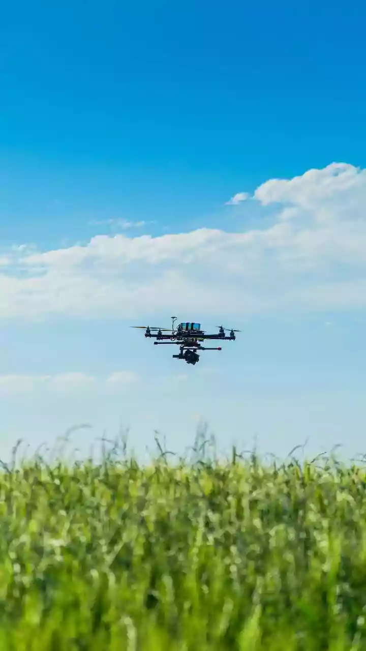
From hundreds of kilometres in space, satellites operated by agencies like ISRO provide an invaluable, macro-level perspective of our changing planet. For India's 7,500-kilometre coastline, this technology is a game-changer. Remote sensing satellites can
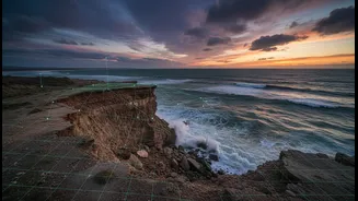
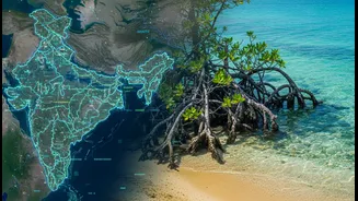
track shoreline erosion with remarkable accuracy, monitor the health and density of vital mangrove forests, detect changes in sea-surface temperature, and map coastal landforms. This data allows scientists and planners to identify vulnerable hotspots, such as areas in Odisha or Kerala prone to erosion, and understand large-scale changes over months and years. Geographic Information Systems (GIS) then layer this information, creating multi-dimensional maps that show everything from high-tide lines to ecologically sensitive areas, forming the backbone of modern coastal management. This birds-eye view provides the 'what' and 'where' of coastal change.
Wisdom Rooted in Place
Long before satellites, coastal communities in India developed their own sophisticated systems of ecological knowledge. This is not simply folklore, but a living dataset passed down through generations. It’s the Koli fisherfolk in Maharashtra who can read the winds and waves, the farmers in coastal Odisha who know which traditional rice varieties can withstand saltwater intrusion, and the elders in the Andamans who predict cyclones by observing the behaviour of fish. This Traditional Ecological Knowledge (TEK) provides crucial context—the 'why' and 'how'—that satellite data alone cannot capture. It is deeply experiential, understanding the subtle rhythms of a specific creek, forest, or mudflat. Communities hold a multi-generational memory of how the land used to be, what has been lost, and what has changed. This knowledge is an essential, ground-truthed resource for understanding climate impacts at a human scale.
A Powerful Partnership
The real innovation lies in bringing these two powerful knowledge systems together. When researchers overlay a satellite map showing mangrove degradation with a community’s knowledge of historical spawning grounds and local currents, a much clearer picture emerges. This collaboration transforms top-down research into a partnership. Scientists provide the tools for large-scale analysis, while community members provide the validation and nuanced interpretation. For instance, satellite data might identify a patch of coast as suitable for mangrove restoration. Local communities can then add critical information: perhaps that specific area is where a freshwater stream now runs dry in the summer, making it unsuitable. This synergy prevents costly mistakes and ensures that solutions are culturally appropriate and locally relevant. It moves beyond just collecting data, empowering communities to generate their own evidence and take ownership of the planning process.
From Data to Decisive Action
This integrated approach is not just an academic exercise; it leads to concrete, effective climate action. In several coastal states, community-led management committees are being formed, working with government departments to blend technical information with local needs. This could mean using satellite data to identify erosion hotspots and then using community knowledge to plant the most effective local species of vegetation to stabilise the soil. It might involve mapping vulnerable areas and combining that with traditional evacuation routes to create better disaster response plans for cyclones. In states like Andhra Pradesh and Maharashtra, projects are supporting climate-resilient livelihoods, like crab farming or oyster cultivation, based on a combined understanding of both the changing ecosystem and market access. By weaving together these threads of knowledge, communities are not just passive recipients of aid but active architects of their own resilience.
The Future of Climate Planning
This model of co-production, where scientists and indigenous experts are equal partners, represents a significant shift in how we approach climate adaptation. It acknowledges that technology is a powerful tool, but it is most effective when guided by human experience and deep local context. The challenges are not insignificant; building trust, ensuring knowledge is shared ethically, and navigating institutional bureaucracy takes time. Yet, the benefits are undeniable. This approach leads to more robust, sustainable, and equitable outcomes. By putting community evidence at the heart of climate planning, this fusion of ancient wisdom and modern science offers a powerful blueprint for other climate-vulnerable regions across India and the world. It proves that some of the most effective solutions for the future are found by respecting the knowledge of the past.