


The Problem with Pictures from Space
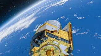
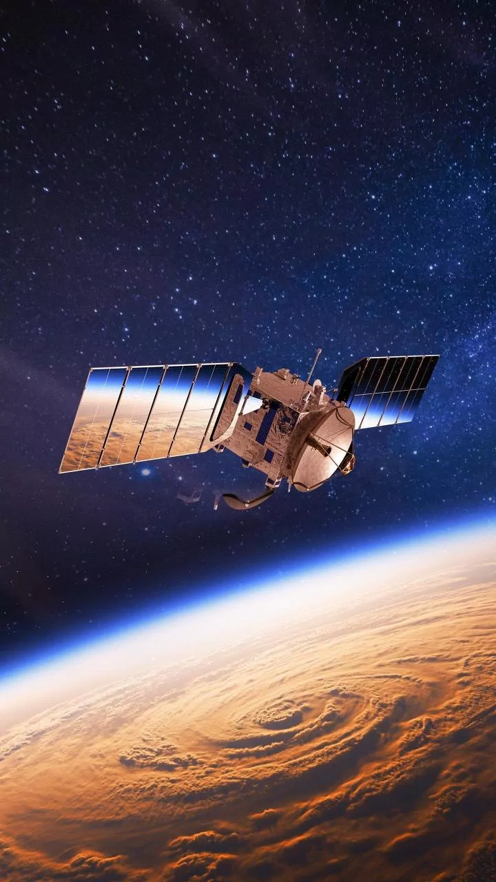
Most of us think of satellites as giant cameras orbiting Earth, and for many, that's accurate. These are called optical satellites. They capture images of the Earth's surface using sunlight, much like the camera on your phone. They provide the detailed,
colourful maps we see online and help us monitor everything from crop health to urban sprawl. However, they have a critical weakness: they can't see through clouds, smoke, or fog. During a major flood, which is often caused by cyclonic storms and heavy monsoon rains, the sky is almost always obscured. This means that just when we need information the most, these powerful eyes in the sky are effectively blindfolded.
The All-Weather, All-Night Solution: Radar
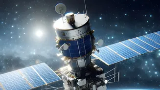
This is where a different kind of satellite technology comes in: Synthetic Aperture Radar, or SAR. Unlike optical satellites that are passive, meaning they rely on sunlight, SAR satellites are active. They don't take a picture; they create an image. They do this by sending out their own signals—tiny pulses of microwave energy—down to the Earth's surface and then recording the 'echo' that bounces back. Because these microwave signals can easily penetrate clouds, haze, smoke, and rain, SAR satellites can get a clear view of the ground regardless of the weather. Even more impressively, since they provide their own illumination, they work just as well at night as they do during the day.
How Radar 'Sees' a Flood
So how does a SAR satellite distinguish floodwater from dry land? It all comes down to texture. The radar signals bounce off different surfaces in predictable ways. Rough surfaces, like forests, fields, and buildings, scatter the radar signal in many directions, and a good portion of it returns to the satellite's sensor. These areas appear bright in a SAR image. A calm body of water, however, acts like a mirror. It reflects the radar signal away from the satellite, a phenomenon known as specular reflection. This means very little signal returns to the sensor, and the water appears as a dark, almost black patch in the image. When a flood occurs, previously bright land becomes dark, making it incredibly easy to map the precise extent of the inundation with remarkable accuracy.
India's Eyes in the Sky
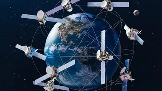
India, with its long coastline and powerful monsoon seasons, is particularly vulnerable to flooding. The Indian Space Research Organisation (ISRO) operates one of the world's largest constellations of Earth observation satellites, many of which are crucial for disaster management. Satellites like the jointly developed NASA-ISRO SAR (NISAR) are specifically designed for this purpose. During flood events, ISRO tasks its satellites to capture data over the affected areas. This data is sent to centres like the National Remote Sensing Centre (NRSC) in Hyderabad, where it is processed into detailed flood inundation maps. These maps show exactly which villages and infrastructure are hit, allowing agencies like the National Disaster Management Authority (NDMA) to plan and execute rescue and relief operations far more effectively.
Not a Magic Bullet, But a Powerful Tool
While SAR technology is a game-changer, it’s not without its challenges. The data can be complex to interpret, and factors like high winds creating ripples on the water or very smooth surfaces like roads can sometimes be misread. Furthermore, its resolution is sometimes lower than the best optical imagery. That's why the most effective disaster response combines both types of data. SAR provides the immediate, all-weather assessment to identify that a change has happened, and high-resolution optical imagery, once the clouds clear, can provide the granular detail needed for damage assessment. The two technologies are not competitors but powerful partners in a sophisticated Earth observation toolkit.