



The Silent Creep of Salt
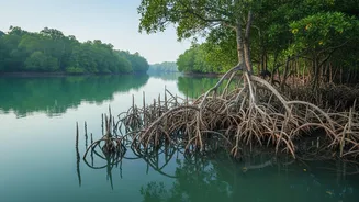
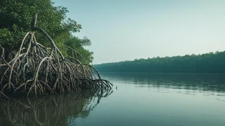
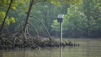
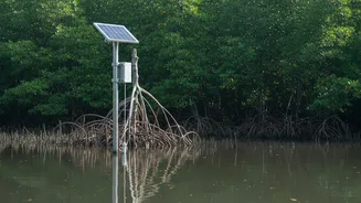
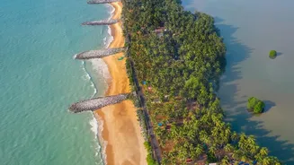
The Sundarbans, a UNESCO World Heritage site, is a delta ecosystem of immense ecological and economic value. However, it is facing a severe crisis: saltwater intrusion. This process occurs when saline water from the sea moves into freshwater systems and surrounding
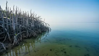
soil. Driven by rising sea levels, reduced freshwater flow from upstream rivers, and the impact of cyclones, this increasing salinity is a slow-motion disaster. It poisons agricultural land, making it unusable for traditional rice cultivation, contaminates drinking water sources, and fundamentally alters the ecosystem. Plant species that thrive in lower salinity, like the iconic Sundari tree, are being replaced by more salt-tolerant, but often less valuable, vegetation. This not only impacts biodiversity but also the livelihoods of millions who depend on the forest's resources.
An Eye in the Sky
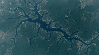
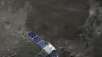
Fighting a threat that is both widespread and invisible requires a sophisticated tool. This is where satellite telemetry systems come in. In simple terms, 'telemetry' is the process of collecting data from remote or inaccessible points and automatically transmitting it to receiving equipment for monitoring. When combined with satellites, it becomes a powerful method for observing vast areas of the Earth. Satellites like the Landsat series, operated by NASA and the USGS, are equipped with advanced sensors that can monitor the planet's surface. For the Sundarbans, these satellites act as a constant watch, providing data far more efficiently than traditional, ground-based soil sampling, which is often costly and time-consuming. Remote sensing has been proven to be a rapid and dependable method for mapping soil properties over large regions.
From Pixels to Salinity Patterns
Satellites don't 'see' salt in the soil directly. Instead, they detect its effects. Scientists use multispectral imagery, which captures light from different parts of the electromagnetic spectrum, including visible, near-infrared, and short-wave infrared light. Salinized soils reflect light differently than non-saline soils. By analyzing these spectral characteristics, researchers can create various 'salinity indices'. For instance, the Normalized Difference Salinity Index (NDSI) is a common tool used to highlight salt-affected areas. Furthermore, satellites can monitor the health of vegetation. Since high soil salinity stresses and stunts plant growth, changes in vegetation cover and health, measured by indices like the Normalised Difference Vegetation Index (NDVI), can indirectly indicate where salinity levels are rising. This data is often combined with field measurements of electrical conductivity (EC)—a direct measure of salt content—to build and validate predictive models.
Real-Time Maps for Real-World Action
The true power of this technology lies in its application. By processing satellite data, sometimes using machine learning algorithms, scientists can generate detailed, up-to-date maps that show the spatial distribution of soil salinity across the Sundarbans. Recent studies have successfully used Landsat-8 imagery to create these maps, identifying specific administrative blocks like Patharpratima, Gosaba, and Basanti as having extremely high levels of soil salinity. These maps are invaluable for authorities and communities. They can guide farmers on where to plant salt-resistant crop varieties, inform the strategic management of freshwater resources, and help engineers decide where to build or repair embankments to prevent further saline water incursion. It allows for a targeted response, focusing resources where they are needed most.
A Tool for Future Resilience
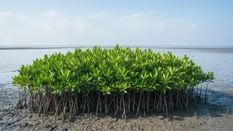
Mapping saltwater intrusion is not just about responding to the current crisis; it's about building long-term resilience. The Sundarbans ecosystem is under immense pressure from climate change, industrial pollution, and human activity. Continuous monitoring using satellite telemetry provides a crucial dataset to track changes over time, understand the long-term trends of salinization, and predict future vulnerabilities. This information is vital for developing effective land management plans and policies aimed at protecting the ecosystem and the communities that depend on it. Initiatives to restore the mangrove forests, such as a recent project to plant 500,000 trees, can also be guided by this data to ensure planting occurs in areas where the new trees have the best chance of survival. By combining high-tech monitoring with on-the-ground action, there is hope for safeguarding the future of this unique environment.