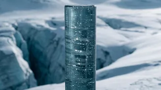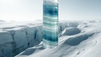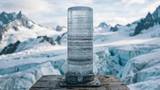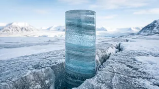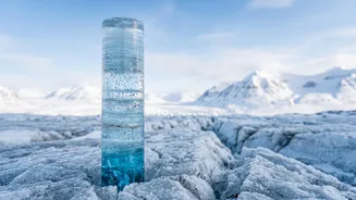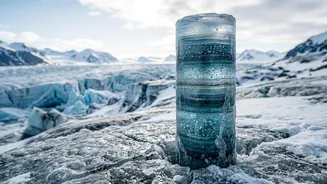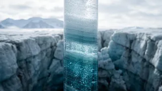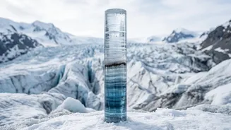


Imagine reading a history book written in ice. That's what scientists do with ice cores, and one of its most surprising stories is told by simple sea salt, revealing the ebb and flow of polar sea ice over thousands of years.
A Library Written in Ice
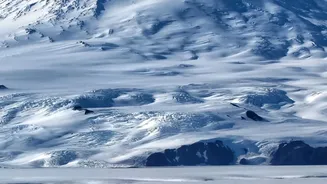
Deep within the vast ice sheets
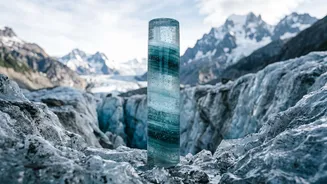
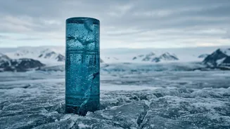
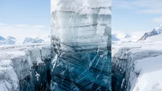
of Antarctica and Greenland lie pristine records of Earth's past climate. Scientists drill down, sometimes for several kilometres, to extract cylinders of ice known as ice cores. Each core is like a frozen time capsule. The layers of ice, formed by annual snowfall compressing over centuries, contain trapped bubbles of the ancient atmosphere, volcanic ash, and atmospheric dust. By analysing these layers, researchers can piece together a detailed timeline of past environmental conditions, from temperature to the composition of the air we once breathed. But hidden among these clues is another, seemingly mundane particle that tells a huge story: sea salt.
The Ocean's Salty Fingerprint
The world's oceans are the primary source of salt in the atmosphere. When strong winds whip across the open sea, they create sea spray. This aerosolized mist, full of tiny salt particles, can travel vast distances. Eventually, these particles fall back to Earth, often with snow. In the polar regions, this salt-laced snow gets compacted into the ice sheet, preserving a chemical fingerprint of the ocean at that time. Scientists can then analyse the concentration of specific elements, like sodium, within each layer of an ice core to determine how much salt was in the atmosphere year after year. This measurement becomes a powerful 'proxy', or substitute indicator, for environmental conditions.
The Sea Ice Connection
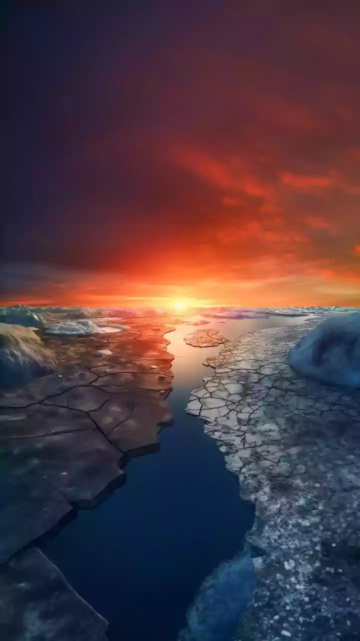
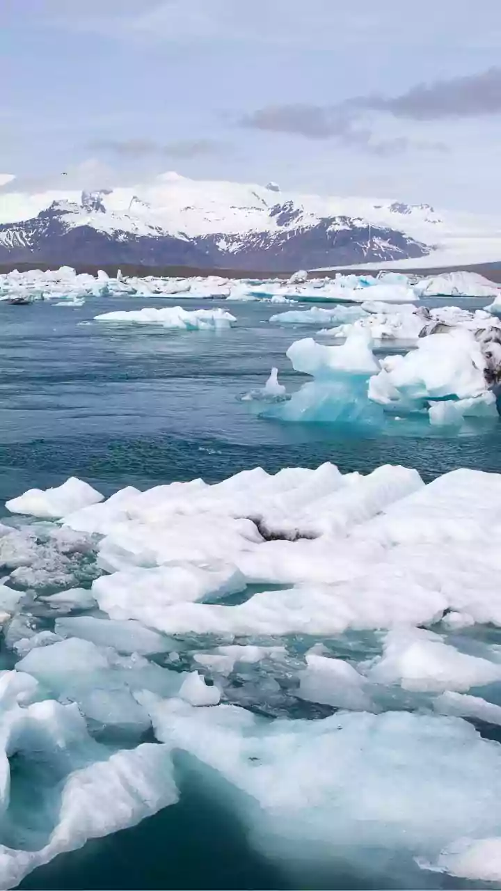
The key to this entire method is the relationship between open water and sea ice. A vast, thick sheet of sea ice acts like a lid on the ocean, preventing wind from generating sea spray. Therefore, when sea ice extent is large, covering much of the ocean near the ice sheet, the source of sea salt aerosols is smaller and farther away. This results in lower concentrations of salt being deposited on the ice sheet. Conversely, when sea ice extent is smaller, there is more open water near the coast. This larger area of open ocean allows for more sea spray to be generated and transported inland, leading to higher concentrations of salt in the ice core layers from that period. Essentially, less salt in the ice suggests more sea ice on the water, and more salt suggests less.
A Frosty Complication
Of course, nature is rarely so simple. For a time, scientists debated a complicating factor: frost flowers. These delicate, incredibly saline ice crystals can bloom on the surface of newly formed, thin sea ice. Because they are so salty and fragile, it was thought they could break apart and become a major source of sea salt aerosol, potentially confusing the open-ocean signal. This created a complex puzzle for researchers. However, further studies have helped clarify the picture. While frost flowers and salty blowing snow are recognized as sources, for reconstructing large-scale, long-term changes in sea ice, the signal from the open ocean remains a crucial and widely used indicator, particularly when looking at major shifts like those between glacial and interglacial periods.
Why This Record of the Past Matters
By meticulously analysing the salt content layer by layer, scientists can create a detailed reconstruction of how polar sea ice has grown and shrunk over hundreds or even thousands of years. This historical context is invaluable. The satellite record of sea ice only began in 1979, providing just a few decades of data. Ice cores allow us to establish a baseline of natural variability long before the significant influence of human industrial activity. Understanding how sea ice responded to past climate shifts helps scientists build more accurate and reliable climate models. These models are our best tool for forecasting how the sensitive polar regions will respond to future warming, making these tiny salt particles essential for predicting our planet's future.