





Our Eyes in the Sky
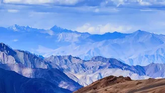
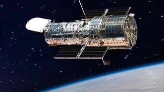
Imagine trying to track the gradual retreat of a Himalayan glacier or the slow expansion of a city over decades. It’s a monumental task. Earth observation (EO) satellites are humanity’s solution to this challenge. These sophisticated spacecraft, operated
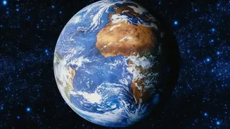
by agencies like NASA, the European Space Agency (ESA), and the Indian Space Research Organisation (ISRO), are essentially robotic eyes in orbit. They continuously scan the planet's surface, collecting a wealth of data that provides a consistent and unbiased view of even the most remote locations. Since the launch of the first EO satellites, the technology has evolved dramatically, now providing a torrent of information that is crucial for science, governance, and national development.
Seeing Beyond the Visible
These satellites do much more than take simple pictures. They are equipped with advanced sensors that capture information across the electromagnetic spectrum, far beyond what the human eye can perceive. Passive sensors measure reflected sunlight or emitted heat, allowing scientists to create indices that show vegetation health (often called 'greenness') or surface temperature. This is how they can tell healthy crops from stressed ones or identify urban 'heat islands'. Active sensors, like radar and LiDAR, send out their own signals and measure the return echo. This technology is incredibly powerful because it can 'see' through clouds and at night, making it ideal for monitoring flood-prone regions during a monsoon or tracking changes in ice sheets during the polar winter.
Documenting a Planet in Motion
The long-term archives of satellite data are one of their greatest strengths. Programmes like the US Landsat and the European Sentinel have been imaging the Earth for decades, creating an invaluable record of change. Scientists use this data to monitor the alarming pace of deforestation in critical ecosystems, providing transparent data that can hold organisations accountable. They track the relentless sprawl of cities, helping urban planners in India and across the globe manage resources and infrastructure more effectively. This data is also essential for monitoring water resources, from mapping areas vulnerable to soil erosion to measuring the volume of water in reservoirs and tracking the devastating melt of glaciers and ice sheets.
From Raw Data to Actionable Insights
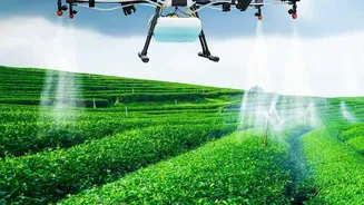
A satellite image is just the beginning. The real magic happens when scientists and analysts process this immense volume of data. Using advanced analytics and artificial intelligence, they transform billions of pixels into clear, actionable information. This is how disaster management teams can get a near-real-time view of a flood's extent, allowing them to direct resources more effectively. It’s how agricultural bodies can forecast crop yields and monitor for signs of drought, supporting food security. In India, ISRO's constellation of remote sensing satellites plays a vital role in everything from groundwater mapping and forestry management to providing data for cyclone warnings and urban planning, showcasing how these eyes in the sky directly contribute to national well-being.