





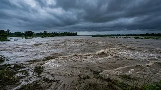

A River Heavy with Himalayan Silt
The problem begins high in the Himalayas. The Kosi is an antecedent river, meaning it existed before the Himalayas rose and carved its path through the young, fragile mountains. Its vast basin, which includes some of the world's highest peaks, is prone
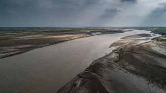
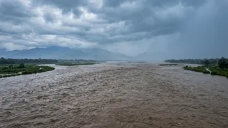
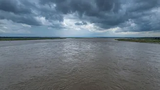
to erosion and landslides. During the intense monsoon season, the river gathers an enormous amount of sediment—silt, sand, and debris. It carries one of the highest sediment loads of any river system in the world, estimated at around 100 to 135 million tonnes annually. This sheer volume of silt is the single biggest factor behind its destructive nature; the river carries far more earth than its channel can handle.
The Sudden Slowdown on the Plains
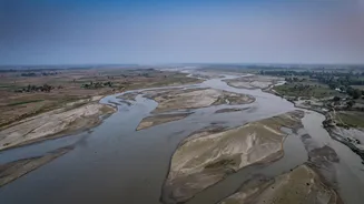
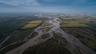
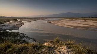
The Kosi's journey involves a dramatic change in gradient. After cascading through steep, narrow gorges in Nepal, it exits the mountains at the Chatra Gorge and emerges onto the flat, alluvial plains of Bihar. This abrupt transition from high-velocity mountain torrent to slow-moving river forces it to dump its massive sediment load. Over millennia, these deposits have built up a massive alluvial fan—a cone-shaped landform of sediment—stretching over 10,000 square kilometres. As sediment chokes the riverbed, it rises higher and higher, often flowing above the level of the surrounding floodplain. This makes the river inherently unstable and prone to changing its course.
An Unpredictable, Channel-Shifting River
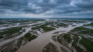
This instability leads to a phenomenon called 'avulsion,' where the river suddenly abandons its existing channel and carves a new path through the landscape. Historically, the Kosi has shifted its course westward by about 120 kilometres over the last 250 years. When the riverbed becomes too high with silt, the water seeks a lower, steeper path, breaking its banks with immense force. This is not a gradual process but a sudden, catastrophic shift. The devastating 2008 Bihar flood was a prime example of avulsion, when the river breached an embankment at Kusaha in Nepal and abruptly shifted 120 km eastward, reoccupying a channel it had abandoned a century earlier and affecting over four million people in India.
The Embankment Trap
To control the floods, extensive embankments were built along the Kosi in the 1950s as part of an agreement between India and Nepal. While intended to confine the river, these structures have, in some ways, exacerbated the problem. By trapping the river between artificial walls, the embankments prevent it from depositing silt across its natural floodplain. Instead, the sediment accumulates within the channel, raising the riverbed even faster. This makes the river 'super-elevated,' meaning it flows at a higher level than the land outside the embankments. When a breach occurs, the resulting flood is far more violent and destructive than a natural overflow would have been, as the elevated water pours out with catastrophic force. This has created a vicious cycle of raising embankments to contain an ever-rising river.
A Cross-Border Challenge
Managing the Kosi is a complex, transboundary issue involving China, Nepal, and India. The Kosi Barrage, located in Nepal near the Indian border, is a key piece of infrastructure designed for flood control and irrigation, managed under the Indo-Nepal Kosi Agreement. However, cooperation on maintenance, early warning systems, and disaster response remains a challenge. Events upstream in Nepal, whether heavy monsoon rains, glacial lake outburst floods (GLOFs), or embankment breaches, have immediate and severe consequences downstream in Bihar. The 2008 Kusaha breach, for instance, highlighted issues of communication and responsibility, showing that engineering solutions alone are insufficient without robust political and administrative collaboration.