


A New Eye on a Changing Planet
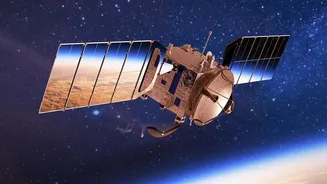
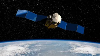
Launched in July 2025, the NASA-ISRO Synthetic Aperture Radar (NISAR) is a testament to international cooperation in space. Costing an estimated $1.5 billion, this sophisticated satellite was jointly developed by the two space agencies to observe some
of Earth's most complex processes. Unlike optical satellites that are hindered by clouds or darkness, NISAR uses advanced radar to peer through almost any condition. It is designed to scan nearly the entire globe every 12 days, creating a time-lapse view of our world in motion. Its purpose is to track subtle changes on the planet's surface, some as small as a centimetre, providing critical insights into everything from shifting tectonic plates to the health of our forests.
The Power of Dual Vision
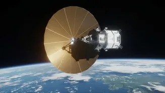
At the heart of the mission is a unique dual-frequency radar system, a first of its kind. NASA provided the L-band radar, while ISRO developed the S-band radar and provided the powerful GSLV launch vehicle. This dual-band capability is NISAR’s superpower. The L-band can penetrate deep into forest canopies to measure biomass, while the S-band is optimised for monitoring crops and other surface details. This collaboration allows the mission to serve a wide range of scientific objectives identified by both nations, from studying ice sheet collapse for NASA to detailed agricultural monitoring and Himalayan glacier studies for ISRO.
Why Free Data Is a Revolution
Perhaps the most transformative aspect of the NISAR mission is its data policy: all data is made freely and openly available to the public. Following successful commissioning, provisional L-band data sets were released in July 2026, with ISRO releasing S-band data through its Bhoonidhi portal. This commitment to open access is a game-changer. The historical precedent set by the Landsat program, which saw downloads and applications explode after its data was made free in 2008, demonstrates the immense economic and scientific value of open data policies. By removing cost barriers, NISAR empowers a global community of researchers, businesses, and public agencies to innovate. This leads to new applications that can generate significant economic value and social impact.
India's Stake in the Sky
For India, NISAR is a national asset with profound implications. The high-resolution data will revolutionise agriculture by enabling the creation of detailed soil moisture maps at a 100-metre resolution. This information is vital for optimising irrigation, forecasting crop yields, and enhancing national food security. Beyond the farm, the satellite will provide crucial data for managing natural hazards. It can monitor land subsidence in urban areas, track the stability of Himalayan glaciers, identify landslide-prone areas, and offer rapid-response imagery in the wake of earthquakes or floods. This data will flow directly into disaster management efforts, helping to protect lives and infrastructure across the country.
From Raw Data to Real-World Decisions
The sheer volume of data from NISAR is immense, but its true power lies in its application. Governments can use the insights to make more informed decisions about urban planning and infrastructure protection. Farmers and agricultural bodies can leverage soil moisture data for precision farming, saving water and improving crop health. Scientists will gain a deeper understanding of climate change by tracking deforestation, melting ice, and changes in wetlands with unparalleled consistency. Even the private sector benefits, as open data fosters innovation in fields like insurance, resource management, and logistics, creating new commercial opportunities built on a foundation of freely available Earth observation data.