






The Myth of a Single City Forecast
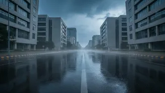
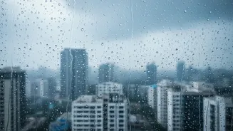
For decades, we’ve relied on a single weather forecast for an entire city. But a massive metropolis like Mumbai or Delhi doesn't experience weather uniformly. One neighbourhood can be drenched in monsoon rains while another stays relatively dry. A blanket
"heavy fog expected" warning for Delhi doesn't capture that visibility might be near zero in a low-lying area near the Yamuna but perfectly manageable in a built-up area farther south. This variation is due to what scientists call 'microclimates'—localised atmospheric conditions that can make a few kilometres feel like a different world.
What Creates These Urban Microclimates?
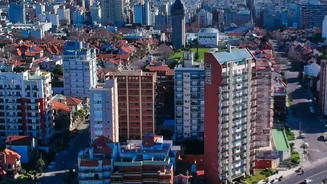
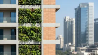
Several factors combine to create these distinct weather pockets. The most significant is the Urban Heat Island (UHI) effect. Concrete buildings, asphalt roads, and a lack of green spaces cause cities to absorb and retain more heat than surrounding rural areas. This doesn't happen evenly. Densely packed, concretised neighbourhoods become 'heat hotspots', experiencing higher temperatures than leafier, more affluent areas. Proximity to water bodies also plays a huge role; coastal parts of Mumbai experience a moderating sea breeze, while inland areas don't. Topography and infrastructure are critical too. Low-lying areas are naturally prone to waterlogging during heavy rains, and poor drainage can turn a moderate shower into a gridlock-inducing flood in one specific underpass, creating a high-risk commute zone.
How Modern Forecasts Pinpoint Risk
This is where technology is changing the game. Weather forecasting has moved beyond a single city-wide prediction to 'hyperlocal' models. India, through initiatives by the India Meteorological Department (IMD) and other institutions, is making significant strides in this area. These advanced systems use a combination of tools: high-resolution satellite imagery, Doppler radar for tracking precipitation intensity, and a growing network of Automatic Weather Stations (AWS) providing real-time, ground-level data. By feeding this massive amount of data into powerful supercomputers, models using Artificial Intelligence (AI) and Machine Learning (ML) can now generate forecasts for areas as small as a few square kilometres. This allows them to predict, for instance, not just that Mumbai will get rain, but which specific neighbourhoods are at high risk of flooding in the next few hours.
From Raw Data to a Safer Commute
This granular data is revolutionising commute safety. Instead of a vague warning, you might get a specific alert on a weather or mapping app: “Heavy waterlogging expected near Andheri station in the next hour, consider an alternate route.” This shift from reactive to predictive risk management is crucial. For a two-wheeler rider, knowing which roads are likely to be dangerously slippery or waterlogged can prevent accidents. For a pedestrian or public transport user, it might mean avoiding a route where bus stops are un-shaded during a severe heatwave. These AI-driven forecasts are now being integrated into public alert systems and mobile apps, empowering commuters to make smarter, safer decisions before they even leave the house.
The Future of Your Daily Journey
The impact of this technology goes beyond just convenience. In a country where extreme weather events are becoming more frequent, understanding differential risk is a matter of public health and safety. Severe heat, for example, is not felt equally across a city; a commute through a concrete-heavy area is far more dangerous than one through a green corridor. Similarly, dense morning fog in northern India presents a significant hazard that varies by locality. As hyperlocal forecasting becomes more sophisticated and widespread, it will allow for more targeted emergency responses and better urban planning. Planners can identify and address vulnerable hotspots, whether by improving drainage in a flood-prone area or increasing green cover in a heat-stressed neighbourhood.