







The Modern Quest for Ancient Ports
For centuries, the stories of cities like Poompuhar and Korkai have been preserved in Sangam-era texts, describing bustling trade hubs that were the pride of the Chola and Pandya kingdoms. But over time, due to coastal erosion, tsunamis, or rising sea
levels, these maritime capitals seemingly vanished. Today, a concerted effort by agencies like the National Institute of Ocean Technology (NIOT) and the Tamil Nadu State Department of Archaeology (TNSDA) is underway to systematically search for this submerged heritage. Armed with state-of-the-art research vessels, these teams are revisiting historical accounts, this time to draw a definitive map of what lies beneath. The mission is clear: to use 21st-century technology to verify and visualise a past that has, until now, been confined to poetry and folklore.
Seeing the Seabed with Sound
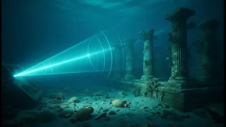
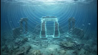
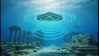
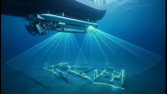
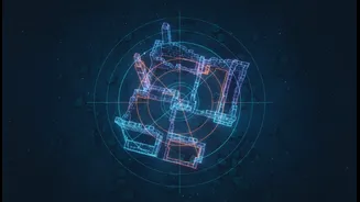
The primary tool in this underwater quest is advanced sonar. Unlike the simple echo sounders of the past, modern systems can paint an astonishingly detailed picture of the ocean floor, regardless of water clarity. The technology works by sending out acoustic pulses from a vessel. A side-scan sonar emits fan-shaped beams to either side, creating high-resolution, almost photographic images of the seabed's surface. This allows scientists to spot anomalies—unusual geometric shapes or patterns that stand out from the natural underwater landscape and could indicate man-made structures like walls or foundations. This is complemented by multibeam echosounders, which create precise 3D topographic maps of the seabed, and sub-bottom profilers, which can penetrate layers of sand and silt to detect objects that have been buried over centuries. Together, these instruments provide a comprehensive, non-invasive first look at potential archaeological sites.
Echoes from Mahabalipuram and Poompuhar
The legend of the 'Seven Pagodas' of Mahabalipuram, suggesting six of its famous shore temples were lost to the sea, has long intrigued historians. Recent surveys led by the Archaeological Survey of India (ASI) and NIOT are turning this legend into a tangible investigation. Sonar scans have revealed submerged walls, scattered dressed stone blocks, and features resembling a flight of stairs at depths of around 27 feet, strongly suggesting a portion of the Pallava-era port city was indeed claimed by the ocean. Similarly, explorations off the coast of Poompuhar, the ancient Chola capital, have been ongoing since the 1980s. These surveys have uncovered evidence of man-made brick structures, laterite stone constructions, and even a potential shipwreck, all lying at depths that correspond with historical accounts of the city's submergence.
Tracing the Lost Port of Korkai
The challenge at Korkai, the famed port of the early Pandya kingdom, is different. Here, the sea has receded over millennia, and the ancient port now lies several kilometres inland. While land-based excavations have confirmed its historical importance, revealing trade links with ancient Rome, the exact location and extent of its maritime facilities remained a mystery. In recent years, TNSDA and NIOT launched a reconnaissance mission using the research vessel 'Sagar Tara' to survey the seabed off the present-day coast, near the mouth of the Thamirabarani river. The hypothesis is that remnants of the port's infrastructure, or even shipwrecks from its heyday, may lie offshore. The sonar surveys aim to identify the ancient river channel and any associated man-made features that would pinpoint the true location of one of the most important trade centres of the Sangam Age.
From Digital Anomalies to Hard Proof
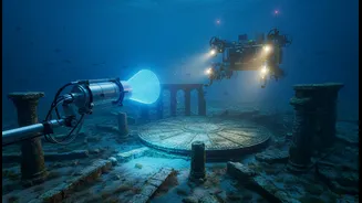
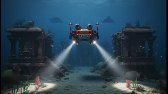
Detecting an anomaly with sonar is just the first step. The crucial and more difficult phase is verification. Once a promising target is identified on the sonar scans, marine archaeologists must get a closer look. This involves deploying Remotely Operated Vehicles (ROVs) equipped with cameras to provide live video feedback from the depths. Following that, trained scuba divers from institutions like the Indian Maritime University are sent down to conduct visual inspections, take measurements, and collect samples like pottery shards or brick fragments for dating and analysis. It is this painstaking work that transforms a digital blip on a screen into concrete archaeological evidence. By combining the wide-area coverage of sonar with targeted physical investigation, researchers are slowly but surely piecing together a lost chapter of India's rich maritime history, proving that ancient literature often holds a kernel of historical truth.