



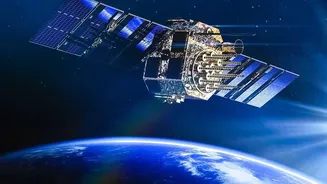
The All-Seeing Eye: What is SAR?
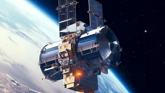
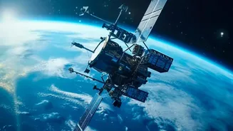
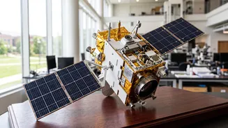
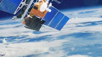
Synthetic Aperture Radar, or SAR, is a powerful form of radar used to create detailed images of the Earth. Unlike a regular camera that needs light, a SAR instrument, often mounted on a satellite, sends microwave pulses to the ground and records the echoes
that bounce back. By using clever signal processing, it can stitch these echoes together to create incredibly sharp, high-resolution images. The true magic of SAR lies in its ability to work in any weather, day or night. While optical satellites are blinded by clouds or darkness, SAR can penetrate these obstacles, making it an indispensable tool for constant monitoring. This all-weather, 24/7 capability is why it has become a cornerstone technology for everything from mapping remote terrain to tracking environmental changes.
ISRO’s Vision: Training Tomorrow’s Experts
Recognising the growing importance of this technology, the Indian Space Research Organisation (ISRO) has initiated several training programs to cultivate expertise in Earth observation among students and professionals. One key initiative is the Space Science and Technology Awareness Training (START) programme, an online course designed for undergraduate and postgraduate students. The 2026 edition, themed "Observation from Space," features lectures from top ISRO scientists, providing a foundational understanding of space technology. Beyond introductory courses, ISRO, through centres like the Indian Institute of Remote Sensing (IIRS), offers more specialised training in geospatial applications, including hands-on courses specifically on SAR data processing. These programmes are designed to empower the next generation with the skills to turn complex satellite data into actionable insights for national development.
From Satellite Data to Saving Lives
The skills students acquire are not just academic; they have profound real-world applications. One of the most critical uses for SAR is disaster management. During floods, cyclones, or landslides, SAR data provides rapid and accurate information about the affected areas, even when heavy rain and clouds obscure the view. This allows emergency response teams to assess damage, identify stranded populations, and coordinate rescue efforts far more effectively. For a country like India, which faces numerous climate-related challenges, having a skilled workforce capable of interpreting this data is a strategic necessity. The training helps bridge the gap between raw satellite information and on-the-ground action that can save lives and property.
Revolutionising India's Farmlands
Beyond emergencies, SAR technology is a game-changer for agriculture, a sector vital to India's economy. SAR's ability to monitor soil moisture and differences in surface texture provides invaluable information for crop management. Farmers and agricultural scientists can use SAR data to monitor crop health, estimate yields, and even detect diseases early. It allows for the precise application of water and fertilisers, promoting sustainable farming practices. ISRO's training initiatives, some offered jointly with agricultural universities, aim to create a new breed of agri-tech experts who can leverage space technology to improve food security and make farming more predictive and less speculative.
A Skillset for the Future
For students participating in these programs, learning to process and analyse SAR data opens up a world of opportunity. The skills are in high demand across various fields, including environmental monitoring, urban planning, defence, and climate change research. As India advances its own SAR capabilities, highlighted by missions like RISAT and the joint NASA-ISRO SAR (NISAR) mission, the need for homegrown talent will only grow. The NISAR mission, for instance, will scan nearly all of Earth's land and ice surfaces twice every 12 days, generating an unprecedented amount of data that requires skilled analysts to interpret. By investing in education, ISRO is ensuring that India has the human capital ready to lead in this new era of Earth observation.