

A Doctor's Check-up From Orbit
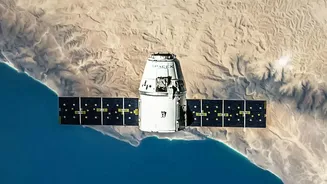
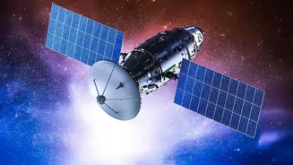
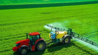
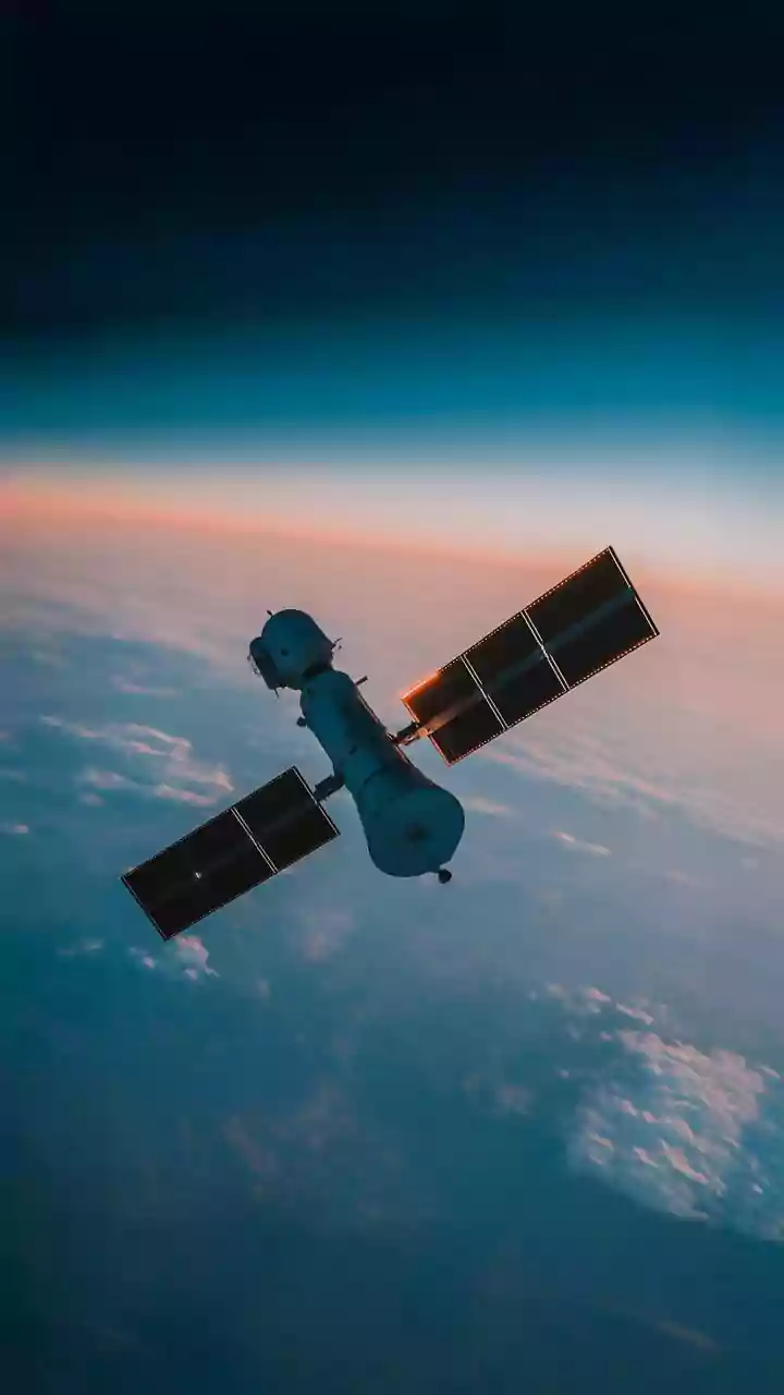
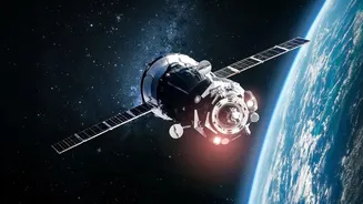
For generations, farmers have relied on walking their fields to check on their crops. Today, they can get a detailed health report from hundreds of kilometres above the Earth. Satellites equipped with powerful sensors are revolutionizing agriculture by
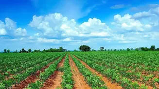
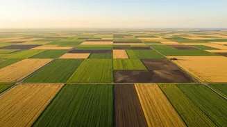
providing a constant stream of data about what’s happening on the ground. This isn't just about taking pictures; it's about seeing what the human eye can't. By capturing light beyond the visible spectrum, these orbital tools can detect subtle changes in vegetation that signal stress from drought, nutrient deficiencies, or disease. This practice, known as precision agriculture, allows farmers to move from reactive to proactive management, addressing small problems before they threaten an entire harvest.
Seeing the Unseen with New Sensors
The latest leap forward comes from hyperspectral imaging. While older multispectral satellites see a handful of light bands (like red, green, blue, and near-infrared), new hyperspectral sensors capture data across hundreds of narrow bands. This creates a detailed “spectral signature” for every pixel in an image. What does this mean for a farmer? It’s the difference between knowing a plant is sick and knowing exactly what disease it has. These advanced sensors can identify specific nutrient deficiencies, like a lack of nitrogen in one corner of a field, or detect water stress days before a plant even begins to wilt. This level of detail allows for incredibly precise interventions, saving money on fertilisers and water while boosting crop yields.
The Power of AI and Data
Collecting vast amounts of satellite data is one thing; making sense of it is another. This is where Artificial Intelligence (AI) comes in, acting as the brain of the operation. AI algorithms analyse the torrent of imagery, identifying patterns and making predictions that would be impossible for a human to manage. These systems can compare current crop health to historical data, predict the likelihood of a pest outbreak based on weather patterns, and even estimate crop yields weeks before harvest. In India, ISRO has been a key player, developing programs like FASAL for crop forecasting and Krishi-DSS, a decision support system that provides farmers with real-time data and advisories through mobile apps. This fusion of satellite imagery and AI turns raw data into actionable intelligence.
From Pixels to Practical Benefits
For India’s millions of smallholder farmers, this technology is no longer science fiction. It’s a practical tool that is starting to reshape rural livelihoods. Startups and government initiatives are working to make this data accessible via smartphones. A farmer can receive an alert about a potential pest infestation or a map showing which parts of their field need more water. This allows for the optimised use of resources, reducing the environmental impact of farming. Furthermore, this technology is transforming agricultural finance. With verifiable, satellite-attested crop histories, small farmers become more credible borrowers for banks and insurance claims can be settled more quickly and transparently after events like hailstorms.
Challenges and the Road Ahead
Despite the immense potential, challenges remain. The high cost of the most advanced hyperspectral data and the complexity of processing it can be barriers. In India, the prevalence of small, fragmented landholdings can make it difficult for lower-resolution satellites to distinguish between individual plots. Persistent cloud cover, especially during monsoon season, can also obstruct optical satellites, highlighting the importance of radar-based systems that can see through clouds. However, as technology improves and costs decrease, these tools are becoming more accessible. Homegrown efforts, like the satellite constellation being built by a Pixxel-led consortium, promise to provide even more detailed and frequent data tailored to local needs.