





A New Alliance for the Coastline
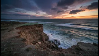
Imagine trying to understand a complex problem with only half the information. For decades, the fight against coastal erosion has often relied on either high-tech scientific data or localised, on-the-ground observations. A new framework, detailed in guides
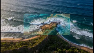
for researchers and communities, champions a more powerful method: combining the two. This approach merges the large-scale, quantitative view from satellite imagery with the nuanced, historical, and qualitative insights of Indigenous and local coastal communities. This creates a richer, more accurate picture of how and why a coastline is changing, moving beyond just what is happening to understand the deeper story of the land and sea. Studies show this combination not only validates local observations with hard data but also provides crucial context that satellite images alone cannot capture.
The View from Above: What Satellites See
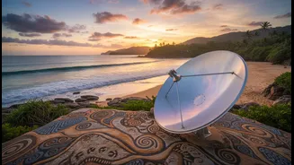
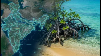
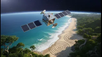
Satellites orbiting Earth provide a crucial, big-picture perspective. They can repeatedly capture images of the same coastline over months, years, and even decades. Using specialised software and techniques like remote sensing, scientists can analyse these images to precisely measure changes in the shoreline. This technology allows them to identify the 'waterline' where land meets sea and compare its position over time to calculate rates of erosion or accretion (land gain). In India, agencies like the National Centre for Coastal Research (NCCR) use this data to monitor the entire coastline, revealing that about 34% of it is experiencing some degree of erosion. This data is foundational for creating hazard line maps and informing national and state-level coastal management plans.
The Wisdom from Below: The Power of Indigenous Knowledge
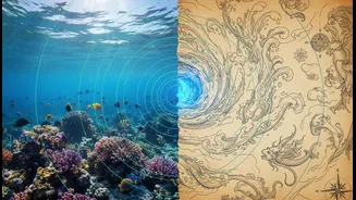
While satellites provide the 'what', Indigenous and traditional knowledge often provides the 'why'. Coastal communities, especially fishing families, possess generations of accumulated wisdom about their environment. This 'Traditional Ecological Knowledge' (TEK) includes an intimate understanding of tides, currents, seasonal sand movement, and historical shoreline positions that predate any satellite. Elders can recall how a beach used to look, where certain plants grew, or how storm patterns have shifted over their lifetimes. This knowledge serves as a living baseline, providing context for the changes seen in satellite images. It can explain whether a new pattern is part of a long-term natural cycle or a recent, alarming development, offering insights that are essential for creating truly effective solutions.
Putting It Together: Creating Community-Grounded Maps
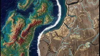
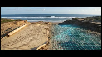
The process of creating these integrated maps is collaborative. It often starts with community concerns. Researchers can then use Geographic Information Systems (GIS) to layer satellite data—like historical shoreline positions and elevation models—onto a map. This technical map is then brought to the community. In workshops, local residents, fishers, and elders can annotate it, adding their own knowledge. They might point out an area of rapid erosion not visible in older data, identify sacred sites at risk, or explain how a new upstream dam changed sediment flow to the coast. This participatory process transforms a sterile scientific map into a rich, co-created document that reflects both scientific measurement and lived experience, building trust and shared ownership.
The Benefits of a Braided Approach
This fusion of knowledge systems offers profound benefits. Firstly, it leads to more accurate and robust erosion models. Secondly, it empowers local communities by validating their knowledge and giving them a central role in the research and planning process. When communities are involved in creating the maps, they are more likely to trust the findings and participate in implementing solutions, from mangrove restoration to advocating for policy changes. This approach helps bridge the gap between scientists and the people most affected by climate change, ensuring that adaptation strategies are not just scientifically sound, but also culturally relevant and locally supported. It turns monitoring into a tool for asserting rights, strengthening community bonds, and building true resilience from the ground up.