

The Great Withdrawal Begins
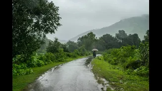
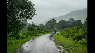
The southwest monsoon, the lifeblood of India's agriculture, follows a well-defined cycle of arrival and departure. September marks the beginning of its withdrawal phase. This retreat is a gradual process, typically starting from the northwestern parts
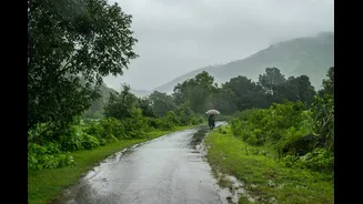
of the country around the middle of the month. Satellite imagery as of early September 2026 has shown significantly reduced cloud cover over northwest and central India, signaling a weakening of monsoon activity. However, forecasters note that the official, organised withdrawal is a slower process, with conditions becoming more favourable for it in the second half of the month. The process starts in the regions where the monsoon arrived last, like western Rajasthan, and slowly progresses southeastward over weeks.
A Forecast of Drier, Warmer Days
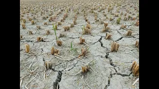
For September 2026, the India Meteorological Department (IMD) has forecast that rainfall for the country as a whole is likely to be below normal. This follows a particularly dry and hot August, and the trend is expected to continue due to the influence of strong El Niño conditions in the Pacific Ocean, which are associated with weaker monsoon rains in India. The IMD also anticipates that both maximum and minimum temperatures will be above normal for most parts of the country. This points towards a warmer and relatively dry end to the monsoon season, although it doesn't mean a complete absence of rain. September still contributes a significant portion of the total seasonal rainfall.
Regional Weather Variations
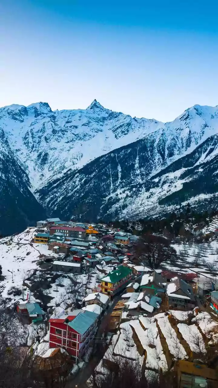
September weather in India is far from uniform. While the overall forecast is for below-normal rain, some areas may still experience significant wet spells. The IMD has indicated that parts of northwest, northeast, east, and east-central India could receive normal to above-normal rainfall. For instance, even as the monsoon enters its last phase, forecasts for early to mid-September 2026 predicted fairly widespread rains over states like Himachal Pradesh, Uttarakhand, and Madhya Pradesh. Conversely, Peninsular India is expected to see subdued rainfall activity. The southern peninsula often sees post-monsoon showers later in the year, between October and December, which is a separate weather phenomenon known as the northeast monsoon.
The Lingering Threat of Storms
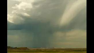
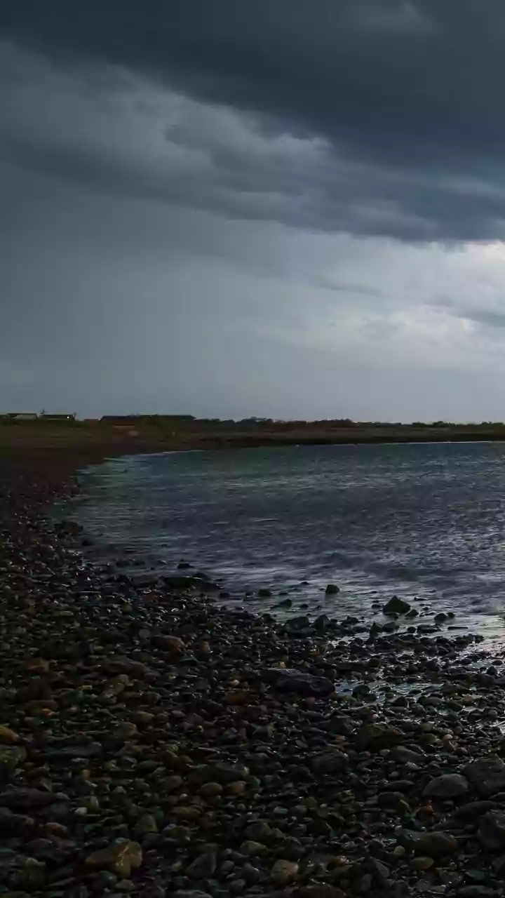
The transition period between the southwest monsoon's withdrawal and the onset of winter is also a time to watch the seas. As the low-pressure area that drives the monsoon weakens over the mainland, it can shift towards the Bay of Bengal. This can create conditions ripe for the formation of tropical cyclones, particularly in October and November, but the risk can begin in late September. These systems primarily affect the eastern coast of India, bringing intense rain and strong winds to the populous delta regions of the Godavari, Krishna, and Kaveri rivers. While less frequent, cyclonic storms can also form in the Arabian Sea. Residents in coastal areas should always stay updated on weather alerts during this transitional phase.
What This Means for Daily Life
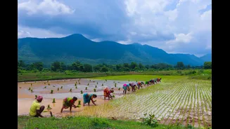
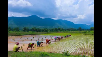
The shift in weather has a direct impact on millions. For farmers, the cessation of heavy rain is crucial for harvesting kharif crops, but a premature withdrawal can affect yields. The forecast of below-normal rain has raised concerns about the overall seasonal deficit. For everyone else, the retreat of the monsoon means fewer rainy days, a gradual decrease in humidity, and the return of clearer skies, especially in northern and central India. This period often brings a palpable sense of relief from the oppressive humidity, sometimes referred to as 'October heat', where clear skies can lead to a temporary rise in temperature before winter sets in. It also ushers in the festival season, where drier weather is a welcome change for outdoor celebrations.