




A Groundbreaking Partnership
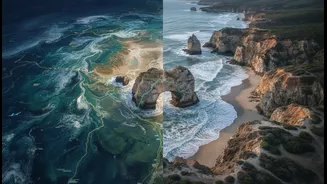
To understand a changing coastline, you need two perspectives: a view from space and a view from the ground, informed by centuries of observation. A growing number of research projects are doing just that, pairing quantitative satellite data with qualitative
Traditional Ecological Knowledge (TEK) from Indigenous peoples. This collaboration isn't just about adding more data; it's about creating a richer, more complete picture. While satellites can track changes in shoreline position and land loss with incredible precision, they can’t explain the cultural significance of that land or the subtle ecological shifts that precede major changes. Indigenous knowledge, passed down through generations, provides this crucial context, noting changes in currents, sediment, and wildlife that a satellite might miss. This combination aims to create more accurate predictive models, leading to better adaptation strategies for vulnerable communities.
How It Works in Practice
In places like the Passamaquoddy Reservation in Maine, students and scientists are blending these two worlds. They analyze NASA satellite imagery to measure erosion rates while also recording oral histories from elders who remember how the coastline looked decades ago. This work often involves comparing modern satellite maps with historical tribal maps, some of which are centuries old. Similarly, in Nunavut, Canada, an AI model was developed that integrated TEK with remote sensing data to locate new fishing grounds affected by climate change. This method treats both knowledge systems as equals, using Indigenous observations to validate and provide context for the technological data. The process often involves community workshops, field visits, and a co-creation approach where research goals are defined together with the community, ensuring the outcomes are directly relevant to their needs.
The View from Above: What Satellites See
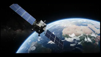
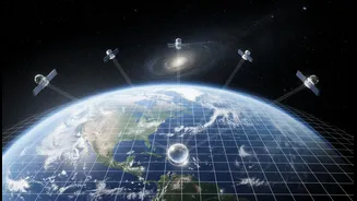
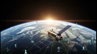
Satellites from programs like NASA's Landsat and Europe's Sentinel provide a long-term, systematic record of our planet. They use remote sensing to collect information without physical contact, detecting different types of light that bounce off Earth's surface. This allows scientists to create time-lapse views of a coastline, quantifying land loss in hectares, tracking shifts in vegetation, and measuring water turbidity as a proxy for sediment movement. The key strength of satellite data is its scale and consistency. It can cover vast, remote areas and provide a reliable, objective record of physical changes over decades. However, this data is an approximation. It can't easily explain the underlying causes of the changes it detects, and automated analysis can sometimes fail on certain types of coastlines, like those with gentle slopes.
The View from the Ground: Generational Expertise
Indigenous knowledge provides the essential 'why' behind the 'what' that satellites observe. Having lived on the land for generations, communities possess a deep, nuanced understanding of their environment. This knowledge isn't just historical; it’s a living system of observation that can detect subtle, early signs of change. For example, elders might recall specific fishing grounds that are now filled with sediment, or notice shifts in wave patterns that lead to erosion in new areas. This qualitative data, rooted in cultural practices and language, helps ground-truth the satellite findings and provides critical insights for developing truly effective management strategies. It is this place-based expertise that turns broad data into locally relevant and actionable intelligence.
What to Check Before Acting on New Data
As these combined data sources become more common, it’s vital for policymakers and community leaders to use them responsibly. Before acting on any update or report, consider the following points: 1. Was the Community a Partner? Verify that Indigenous communities were treated as true partners in the research, not just as data sources. Indigenous data sovereignty—the right of Indigenous peoples to control data from their own communities and lands—is a critical ethical principle. 2. Understand the Data's Limits: All data has limitations. Satellite imagery may have a certain resolution, meaning it can't see very small changes, and cloud cover can create gaps in the record. Be clear about what the data can and cannot tell you. 3. Combine Data with On-the-Ground Context: A map showing a high rate of erosion is useful, but it's far more powerful when paired with local knowledge about why it's happening. Never rely on one data type alone. 4. Look for Long-Term Trends: Coastal change happens over long timescales. Ensure the report you're seeing is based on a long-term data record, not just a single storm or season. Comparing data to historical records, including oral histories, provides vital perspective. 5. Assess the Goal of the Research: Was the project designed to support community resilience and adaptation, or was it purely academic? Prioritize information from projects that are co-developed to address specific community needs and challenges.