



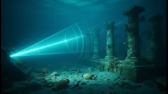


A Digital Ghost Town Emerges
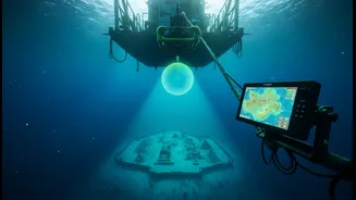
Recent surveys off the coast of Poompuhar in Tamil Nadu are painting an unprecedented picture of a world lost to the sea. Using high-resolution multi-beam echo sounders, researchers from institutions like the National Institute of Ocean Technology (NIOT)
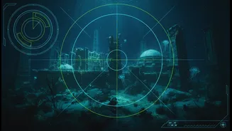
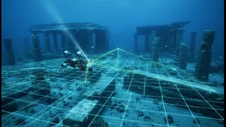
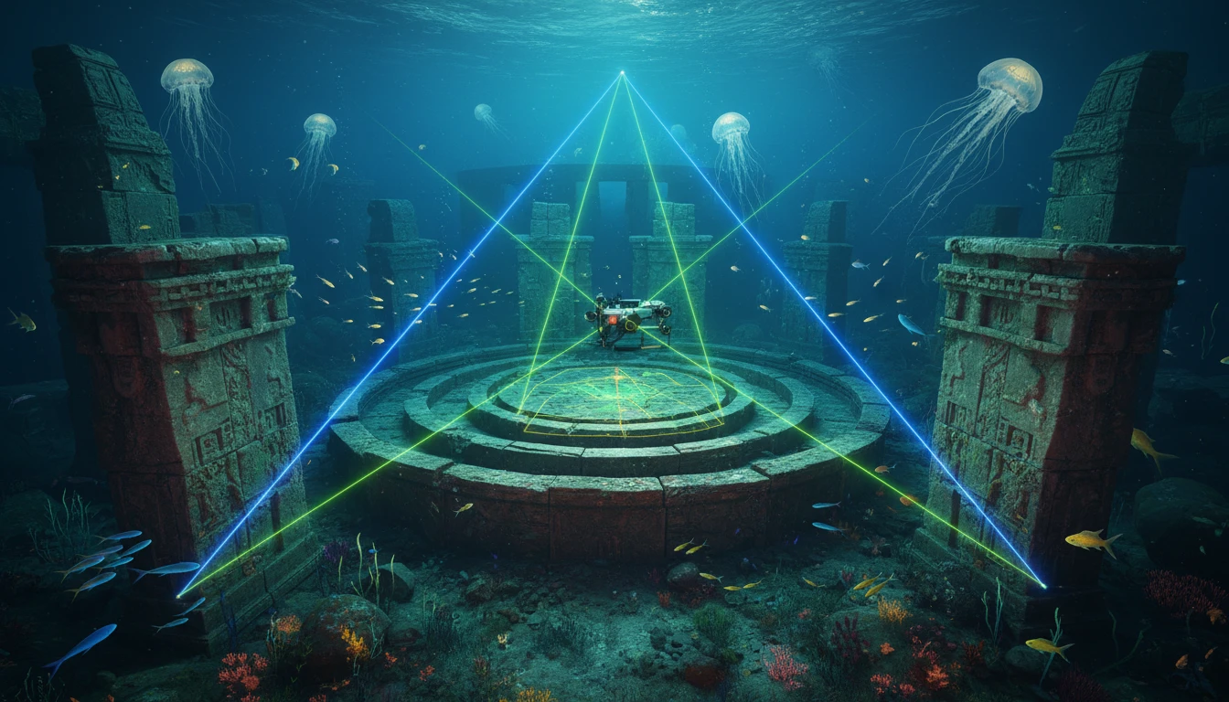
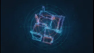
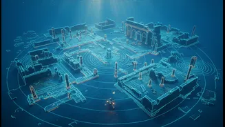
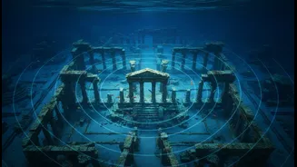
are meticulously charting the seabed. The resulting data is revealing more than just random rocks; it shows geometric patterns and large-scale structures that appear to be man-made. These sonar maps are the first comprehensive blueprints of a potential submerged settlement, showing features that could be walls, building foundations, or even port facilities, lying under metres of water and sediment.
The High-Tech Hunt for History
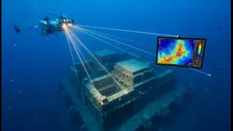
This glimpse into the past is powered by a revolution in marine archaeology. Technologies like side-scan sonar and sub-bottom profilers act as the eyes of the scientists. These instruments are towed behind a research vessel, sending out sound pulses that bounce off the seafloor. By analysing the returning echoes, computers can construct a detailed 3D image of not just the surface, but also what lies buried beneath the sand. This allows archaeologists to identify anomalies and potential structures over vast areas, far more efficiently and non-invasively than ever before. It's a game-changer that transforms the deep sea from an impenetrable mystery into a landscape that can be systematically explored.
The Quest for Poompuhar
The primary target of these high-tech explorations is the legendary port city of Poompuhar, also known as Kaveripattinam. Celebrated in ancient Sangam literature as the magnificent capital of the early Chola dynasty, this bustling trade hub was said to have been swallowed by the ocean. For decades, marine archaeologists have been searching for its remains. Early explorations in the 1980s and 90s found tantalising evidence like brick structures and pottery in the intertidal zone, confirming that a settlement had been lost. The latest surveys, announced and undertaken over the past year, represent the most significant push to date, aiming to map the full extent of this ancient maritime centre.
Separating Myth from Masonry
Inevitably, discoveries of submerged ruins in this region ignite discussions about Kumari Kandam, the mythical lost continent said to be the cradle of Tamil civilization. While this legend is a powerful part of cultural heritage, scientists are careful to draw a line between myth and verifiable evidence. Current geological science does not support the existence of a vast sunken continent. Instead, researchers believe these structures are evidence of known historical phenomena: coastal cities that were inundated due to rising sea levels, river course changes, or catastrophic tsunamis over millennia. The goal is to find physical proof of historical cities like Poompuhar, not the mythical Kumari Kandam.
From Pixels to Proof
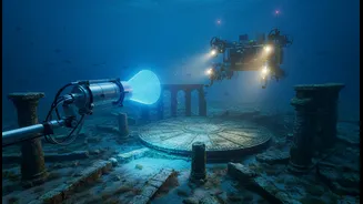
These incredible sonar maps, however, are just the beginning of a long scientific process. The digital images provide a roadmap, pointing out targets of interest that demand closer inspection. The next phase will involve deploying Remotely Operated Vehicles (ROVs) equipped with high-definition cameras and robotic arms. These underwater drones can provide the first visual confirmation of the structures. Following that, teams of trained divers will need to visit the sites to conduct physical inspections, take measurements, and carefully collect artefacts and sediment samples. Only through carbon dating and detailed archaeological analysis can the age and purpose of these structures be definitively confirmed, turning these intriguing digital ghosts into tangible history.