


An Eye in the Sky for Every Farm
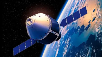
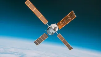
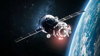
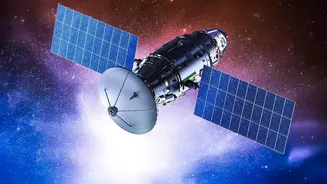
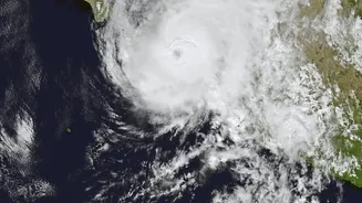
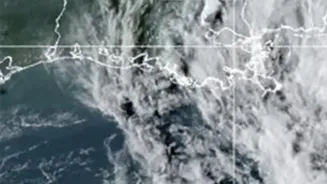
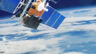
Imagine being able to see every corner of your farm at once. This is the new reality that satellite technology offers. Once the domain of spies and weather forecasters, satellite imagery is now an accessible and powerful tool for modern agriculture. Satellites
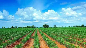
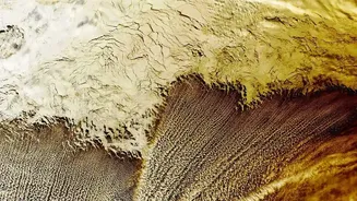
equipped with high-resolution cameras and advanced sensors pass over farmland every few days, capturing detailed data about crop conditions on the ground. This provides farmers with a comprehensive, bird's-eye view of their holdings, allowing them to monitor vast areas more efficiently than ever before and spot potential issues before they become widespread problems.
Seeing What the Human Eye Cannot
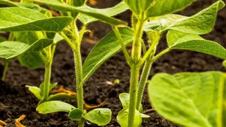
The true power of this technology lies in its ability to see beyond the visible spectrum of light. Healthy, thriving plants absorb red light for photosynthesis and strongly reflect near-infrared (NIR) light. Stressed or unhealthy plants, however, do the opposite. Satellites use sensors to measure these reflections and calculate something called the Normalized Difference Vegetation Index, or NDVI. This simple index, which ranges from -1 to +1, acts as a direct indicator of plant health and density. A high NDVI value suggests lush, healthy vegetation, while a low value can indicate problems like water stress, nutrient deficiencies, or pest infestations, often weeks before they are visible to the naked eye.
From Data Pixels to Actionable Plans
This raw data is transformed into powerful, easy-to-understand tools for farmers. The NDVI values are often displayed as colour-coded maps of a field, clearly showing which specific areas are thriving and which are struggling. This practice is a cornerstone of what is known as precision agriculture. Instead of treating an entire field uniformly, farmers can use these 'prescription maps' to apply the right amount of water, fertiliser, or pesticides exactly where they are needed. This targeted approach not only increases efficiency and crop productivity but also reduces waste and minimises environmental impact by preventing the overuse of chemicals and water. It helps farmers make strategic decisions based on real-time data, not guesswork.
Boosting Yields and Security in India
For a nation with millions of smallholder farmers, this technology holds transformative potential. Indian organisations like ISRO are heavily involved in using satellite data to support agriculture. This information is crucial for everything from drought monitoring to crop insurance schemes like the Pradhan Mantri Fasal Bima Yojana (PMFBY). By providing early warnings about crop stress and enabling more precise resource management, satellite monitoring helps increase yields, which can range from a 12% average increase to even higher in some projects. It also improves financial security for farmers; when a disaster like a hailstorm strikes, satellite imagery can rapidly assess the damage across a district, speeding up insurance claims and government aid.
The Future of Data-Driven Farming
The technology is constantly evolving. Advances in satellite sensors, like hyperspectral imaging, promise even more detailed insights into plant health and soil conditions. When combined with artificial intelligence and machine learning, satellite data can be used to create highly accurate crop yield predictions. This is invaluable not just for individual farmers but for governments and entire supply chains to plan for storage, pricing, and distribution. As India continues to grow, ensuring food security in the face of climate change is a monumental task. Satellite-driven precision agriculture is becoming an essential tool in making farming more resilient, sustainable, and productive for generations to come.