


A Blueprint for Danger
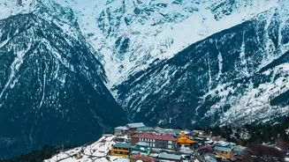
Nepal's geography is the foundational layer of its risk profile. The country sits on the volatile boundary where the Indian and Eurasian tectonic plates collide, generating immense seismic pressure. This makes it highly susceptible to devastating earthquakes.
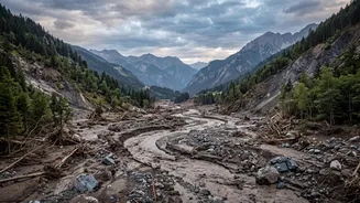
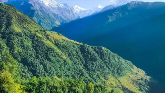
But the danger extends far beyond seismic shocks. The topography itself, which drops from the world's highest peaks to flat river plains in a short distance, is a critical factor. This dramatic landscape is dominated by geologically young, fragile mountains with steep slopes. When combined with the country's more than 6,000 rivers, many of them fed by mountain glaciers, this geography creates a natural conveyor belt for disasters. Steep valleys can channel water and debris at terrifying speeds, turning a localised event in the mountains into a widespread catastrophe downstream.
Climate Change: The Great Accelerant
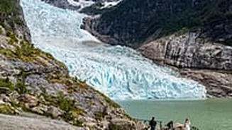
If geography sets the stage for disaster in Nepal, climate change is the accelerant making those disasters more frequent and intense. The country is ranked as one of the world's most vulnerable to climate change. The most visible impact is on the Himalayan glaciers. Rising temperatures are causing them to melt at an alarming rate, leading to the formation of unstable glacial lakes. These lakes can burst their banks without warning, causing what are known as Glacial Lake Outburst Floods (GLOFs) that unleash catastrophic torrents of water, mud, and rock on communities below. Simultaneously, climate change is making the annual monsoon more erratic and intense. Instead of steady, predictable rain, Nepal is experiencing more extreme precipitation events, which saturate the already fragile slopes and trigger devastating floods and landslides.
A Vicious Interplay of Forces
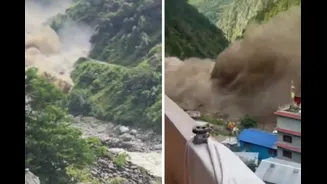
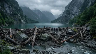
The true scale of Nepal's risk lies in how its geography and a changing climate interact. It's a vicious cycle where one factor amplifies the other. More intense rainfall (climate change) on steep, unstable slopes (geography) leads to a dramatic increase in the number and severity of landslides. These landslides don't just threaten homes and villages directly; they can also block rivers, creating temporary dams. When these natural dams inevitably break, they cause secondary flash floods downstream, a phenomenon known as a cascading hazard. Similarly, earthquakes (geography) can destabilise glacial lakes (climate change), increasing the risk of a GLOF. This deadly combination means that roads, bridges, hydropower projects, and entire settlements located in narrow river valleys are constantly at risk from multiple, overlapping threats.
The Human Factor
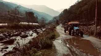
While geography and climate are the primary drivers, human activity also plays a critical role. Unplanned urbanisation, deforestation, and the construction of roads and buildings without proper engineering or land-use planning can exacerbate underlying risks. For instance, building a settlement on a known floodplain or constructing a road that destabilises a hillside can turn a natural event into a human tragedy. Over 80% of Nepal's population is exposed to some form of natural hazard, with poverty and a lack of resilient infrastructure making the most vulnerable communities even more susceptible. This human element adds another layer of complexity to an already challenging situation, turning predictable natural cycles into recurring humanitarian crises.