





A Tale of Two Terrains
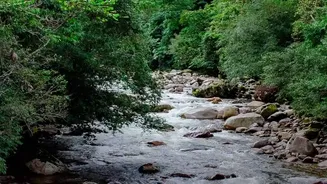
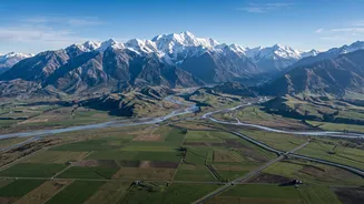
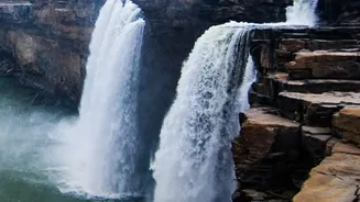
The primary reason for the intense flooding is a dramatic change in geography. Rivers like the Kosi, Gandak, and Ghaghara originate in the steep, geologically young Himalayas of Nepal. They descend with immense force, carrying huge amounts of silt and sediment.
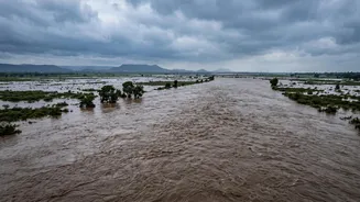
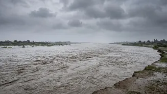
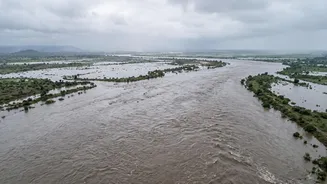
When these rivers leave the mountains and enter the flat, low-lying Gangetic plains of Bihar and Uttar Pradesh, their speed drops suddenly. This causes them to deposit the massive sediment load, raising the riverbeds over time. As the riverbeds get shallower, the rivers' capacity to hold water decreases, making them prone to spilling their banks during heavy rains.
The Kosi: Bihar's River of Sorrow
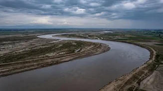
No discussion of these floods is complete without mentioning the Kosi river, notoriously known as the 'Sorrow of Bihar'. The Kosi is infamous for carrying one of the heaviest sediment loads in the world and for its tendency to change course dramatically. Over the last two centuries, it has shifted its path westward by over 100 kilometres, leaving a wide trail of destruction. This unstable nature means that villages that are safe one year can be in the direct path of the river the next. The devastating 2008 flood, which occurred when the river breached an embankment in Nepal and shifted its course by about 120 km, affected millions in India.
The Monsoon's Fury and Human Factors
The annual monsoon is the main trigger. Heavy, concentrated rainfall in the catchment areas, most of which lie in Nepal, causes a massive surge in water volume. This natural phenomenon is now amplified by human activities. Deforestation in the Nepalese hills leads to increased soil erosion, adding even more silt to the rivers. Downstream in India, a vast network of embankments has been built to contain the rivers. While intended as a solution, these structures often worsen the problem. They prevent the river from depositing fertile silt on the plains and can lead to catastrophic flash floods when they are breached by the immense pressure of the water. Furthermore, when a breach occurs, the embankments can trap floodwaters, prolonging the inundation for months.
A Complicated History of Cooperation
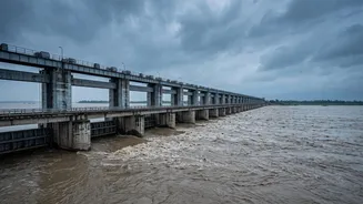
Since the rivers are transboundary, managing them requires close cooperation between India and Nepal. Several treaties and joint committees exist, such as those for the Kosi and Gandak projects. The Kosi Agreement of 1954 led to the construction of the Kosi Barrage and embankments, which India helps maintain. However, cooperation has been inconsistent. While joint committees meet to discuss flood control, embankment maintenance, and early warning systems, progress on long-term solutions like building large storage dams in Nepal has been slow. These dams could hold back monsoon waters and release them in a controlled manner, reducing flood peaks and providing other benefits like hydropower. However, political and financial complexities have often stalled such large-scale projects.
What the Future Holds
Recent events show the immediate link between the two nations. Flash floods in Nepal regularly put authorities in Bihar and UP on high alert, prompting evacuations and the opening of barrage gates. The Central Water Commission issues advisories for states to take precautionary measures along rivers like the Gandak. Looking ahead, effective flood management depends on strengthening this bilateral cooperation. This includes better real-time data sharing for flood forecasting, joint management of barrages and embankments, and a renewed political will to implement comprehensive, long-term strategies. Without a unified approach that addresses the root causes upstream, the cycle of devastation in India's northern plains is likely to continue.