



From Weather Gods to Data Streams
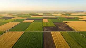
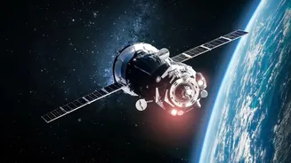
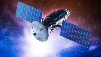
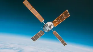
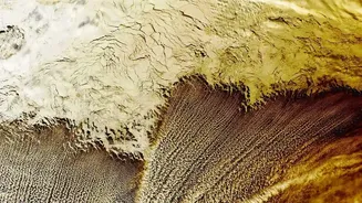
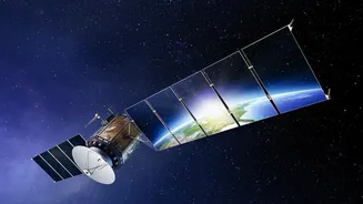
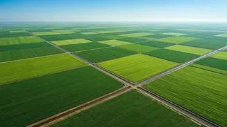
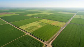
At its core, satellite-based crop monitoring is about having an eye in the sky. Hundreds of kilometres above the Earth, satellites equipped with advanced sensors capture images of farmland. These are not ordinary pictures; they capture light across different
spectrums, including infrared, which can reveal information invisible to the naked eye. By analysing how crops reflect light, experts can generate valuable metrics like the Normalised Difference Vegetation Index (NDVI), a key indicator of plant health. This technology allows for the monitoring of vast agricultural areas simultaneously, a task that would be impossible through manual field visits alone. In India, this effort is supported by ISRO's own satellite fleet, such as the Resourcesat and RISAT series, as well as international systems.
A Digital Shield for Your Crops
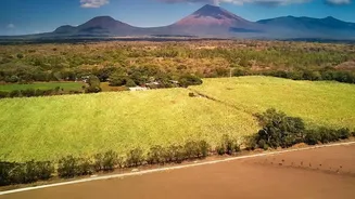
So, what does this stream of data actually do for a farmer? The applications are direct and practical. Satellite insights enable precision farming, which means applying the right inputs, in the right place, at the right time. For instance, by identifying specific patches in a field that are suffering from water stress, farmers can optimise irrigation instead of watering the entire area uniformly. This saves a critical resource and reduces costs. Similarly, the technology can provide early warnings for pest attacks or disease outbreaks by detecting stress in crops before it's visually apparent on the ground. This allows for targeted pesticide application, reducing both expenses and environmental impact. This data-driven approach leads to more efficient use of fertilisers, better soil health, and ultimately, higher crop yields.
Beyond the Field: Economic and Policy Impact
The benefits of satellite monitoring extend far beyond individual farms. Accurate, large-scale crop assessments have a major economic impact. Government programmes like FASAL (Forecasting Agricultural output using Space, Agro-meteorology and Land-based observations) use satellite data to generate pre-harvest production forecasts for major crops like wheat and rice. This information is crucial for national food security planning, pricing policies, and managing food grain distribution. For farmers, this technology can also improve access to finance and insurance. Lenders and insurance companies can use satellite data to verify farm boundaries, assess crop health, and process claims more quickly and transparently, especially after natural disasters like floods or droughts. Initiatives like YESTECH (Yield Estimation System based on Technology) are using this for gram panchayat-level yield estimation to settle insurance claims.
Hurdles on the Path to Adoption
Despite its immense potential, the widespread adoption of satellite-based monitoring in India faces significant challenges. A primary hurdle is the high initial cost and limited awareness among small and marginal farmers, who make up the majority of India's agricultural sector. India's agricultural landscape is dominated by small, fragmented landholdings, which can make the economics of adopting such technologies difficult for individual farmers. Furthermore, there are issues of poor internet connectivity in many rural areas and a digital literacy gap, which can make complex data from satellites hard to access and interpret without expert help. Agricultural extension workers often lack the training needed to translate this geospatial data into simple, actionable advice for farmers. This means that even when the technology is available, making it usable on the ground remains a key challenge.
The Future is Digital and Data-Driven
The path forward involves making this technology more accessible and affordable. A growing ecosystem of agritech startups is playing a crucial role by developing mobile-friendly applications that translate complex satellite data into easy-to-understand advisories in regional languages. Companies like CropIn and platforms like AgriBhumi are transforming raw satellite images into meaningful insights for farmers, agribusinesses, and lenders. Government initiatives such as Krishi-DSS, a decision support system, aim to integrate various data streams—satellite, weather, and soil—to provide holistic guidance. By combining satellite imagery with drone technology and on-ground sensors, the digital agriculture ecosystem is steadily evolving to empower every farmer with the information they need to thrive.