


The Fragile Green Wall
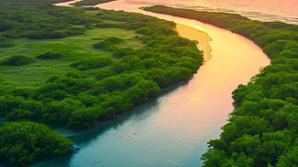
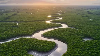
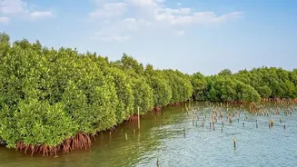
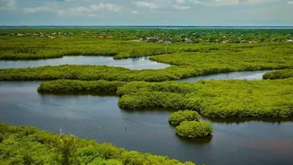
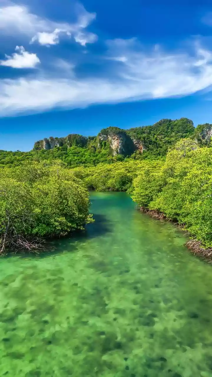
Spanning the border of India and Bangladesh, the Sundarbans is a breathtakingly complex ecosystem and a UNESCO World Heritage Site. For the millions living in coastal West Bengal, it is the first and most important line of defense against the fierce cyclones
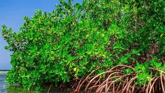
that churn in the Bay of Bengal. The dense, tangled root systems of mangrove trees anchor the soil, absorbing the impact of storm surges and slowing wind speeds, a natural service that protects countless lives and properties. However, this green fortress is becoming increasingly fragile. A combination of rising sea levels, increasing water salinity, reduced freshwater flow from upstream, and human pressures are causing significant mangrove degradation. Coastal erosion is literally washing away parts of the forest, while changes in water quality are stressing the trees, reducing their density and ability to regenerate.
Eyes in the Sky
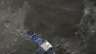
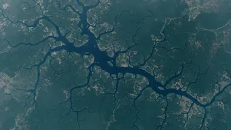
Monitoring a vast, remote, and often inaccessible area like the Sundarbans is a monumental challenge. Getting a true picture of the forest's health through ground surveys alone is nearly impossible. This is where satellite technology comes in. From hundreds of kilometers above Earth, a network of advanced earth observation satellites acts as a constant watchdog. Space agencies, including the Indian Space Research Organisation (ISRO), use data from missions like the Landsat and Sentinel series to keep a detailed, ongoing health record of the mangroves. These satellites provide a comprehensive, bird's-eye view that can detect changes far more effectively than any other method, allowing scientists and policymakers to see the big picture of how the forest is changing over time.
Reading the Green Signature
So how does a satellite know if a mangrove forest is healthy? The answer lies in reading light. Healthy vegetation reflects and absorbs light differently than sparse or dying plants. Satellites are equipped with sophisticated sensors that can measure these subtle differences in the light spectrum, which are invisible to the human eye. One of the most common techniques involves calculating the Normalized Difference Vegetation Index (NDVI), which essentially measures the 'greenness' and density of the plant cover. A high NDVI value indicates a lush, healthy forest, while a decreasing value over time can signal stress, disease, or deforestation. Furthermore, advanced radar satellites, like those used in the joint ISRO-NASA NISAR mission, have the crucial ability to pierce through the dense cloud cover of the monsoon season, ensuring that monitoring can continue uninterrupted year-round. By comparing images from different time periods, scientists can create detailed maps that pinpoint exactly where mangrove cover is being lost to erosion or where the forest's health is in decline.
From Data to Action
This stream of data is not just an academic exercise; it is a critical tool for conservation and disaster management. The information gathered from satellites allows authorities to identify hotspots of degradation that require immediate attention. For instance, by seeing which parts of the coastline are eroding fastest, officials can better target mangrove replanting efforts and other protective measures, like the strategic planting of vetiver grass to stabilize soil. The satellite data also provides a clear way to measure the effectiveness of these conservation initiatives. It offers objective proof of what is working and what is not, helping to guide future policy and investment. Following a major cyclone, analysts can rapidly assess the extent of the damage to the mangroves, helping to direct relief and recovery efforts more efficiently. This constant, data-driven feedback loop is essential for adapting conservation strategies in the face of a rapidly changing climate.