




The View from Orbit
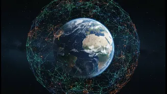
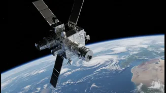
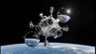
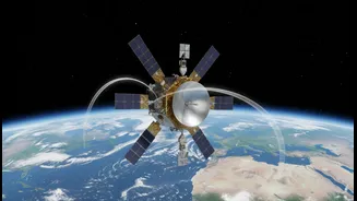
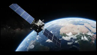
When it comes to understanding the big picture of sea-level rise, NASA provides an unparalleled perspective. For decades, a fleet of Earth-observing satellites has been measuring changes in our oceans with incredible precision. These instruments track
the height of the sea down to the millimeter, monitor the melting of ice sheets in Greenland and Antarctica, and observe shifts in ocean currents and temperatures. This vast collection of data feeds into sophisticated climate models that project future changes, giving planners a high-level overview of what's to come. Through its Sea Level Change Team, NASA has developed an array of powerful online tools that translate this complex science into charts and maps, making global and regional projections accessible to the public and policymakers. The goal is to provide a scientific foundation for making critical decisions about coastal infrastructure and safety.
The Wisdom on the Ground
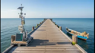
While satellites provide the 'what' on a global scale, they don't always capture the 'how' and 'why' at a local level. This is where community evidence, often called local or traditional ecological knowledge, becomes vital. This type of evidence includes generations of observations from residents, fishermen, and Indigenous communities who have an intimate understanding of their environment. It can be found in oral histories describing where floodwaters reached during past storms, old photographs showing a coastline that has since eroded, and a farmer's knowledge of how saltwater intrudes into freshwater sources. In a project with the Passamaquoddy community in Maine, for instance, students combined NASA satellite images with stories from elders to measure shoreline changes, proving that this local knowledge is a form of science in itself. This ground-truth data is often more granular and context-rich than anything a satellite can detect from orbit.
A Rising Tide of Questions
The central challenge emerging is not about choosing between these two types of evidence, but about how to weave them together respectfully and effectively. For years, top-down planning often prioritized quantitative data from scientific models, sometimes dismissing community observations as anecdotal or unscientific. This can lead to climate adaptation plans that look good on paper but fail in practice because they miss crucial local dynamics. The new questions being raised are profound: How can scientific bodies like NASA make their data truly useful for on-the-ground practitioners? How do we ensure that community voices are not just heard, but are given equal weight in the planning process? And how can we build systems that treat local and Indigenous knowledge as the valid, time-tested science that it is?
Forging a Collaborative Path
Fortunately, a shift is already underway. NASA has been actively working to bridge this gap. The agency's Sea Level Change Team has established a Stakeholder Advisory Board and partners with groups like PEERS (Practitioner Exchange for Effective Response to Sea Level Rise) to better understand the needs of coastal managers. This involves co-developing tools and holding meetings in affected communities to listen to their needs directly. The aim is to move beyond simply providing data and toward creating actionable information. Projects are emerging that combine advanced modeling with local infrastructure data and socioeconomic information to create more holistic risk assessments. These efforts recognize that the most resilient solutions come from a genuine partnership between scientists and the communities they serve.