


The Challenge of City Forecasts
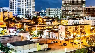
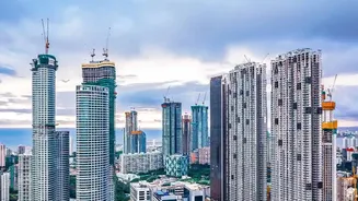
Predicting rain has always been tricky, but cities present a unique nightmare for meteorologists. Urban areas create their own microclimates. Concrete and asphalt absorb and radiate heat, creating 'urban heat islands' that can alter air currents and storm
development. Pollution particles can also affect how water droplets form in clouds. Traditional forecasting tools, like ground-based radar, have limitations. Radar can be blocked by buildings and struggles to capture the full picture of what's happening high in the atmosphere, leading to forecasts that often miss the mark.
A Clearer View from Above
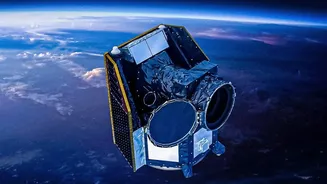
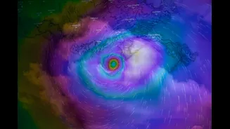
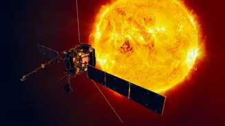
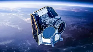
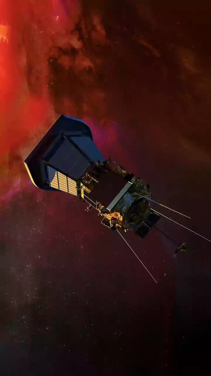
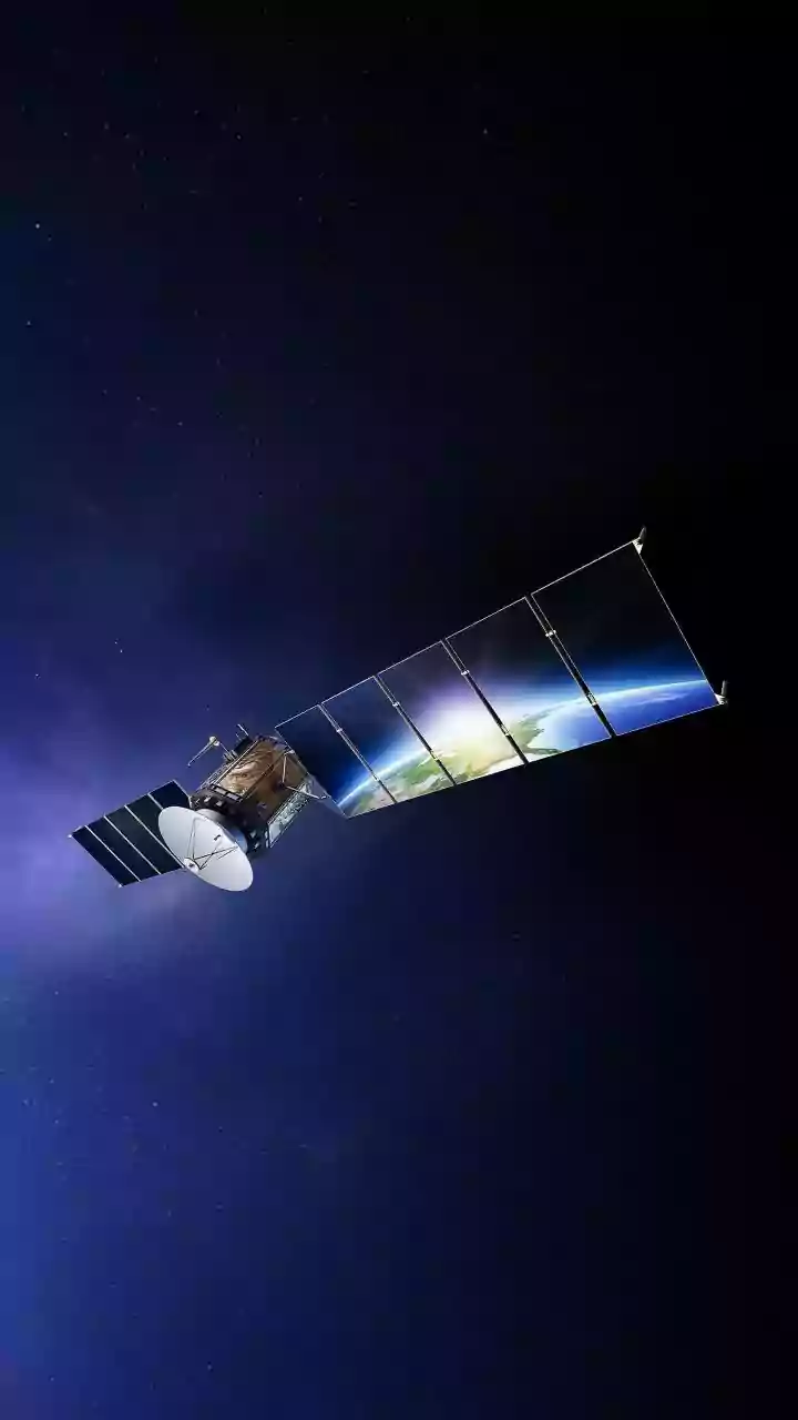
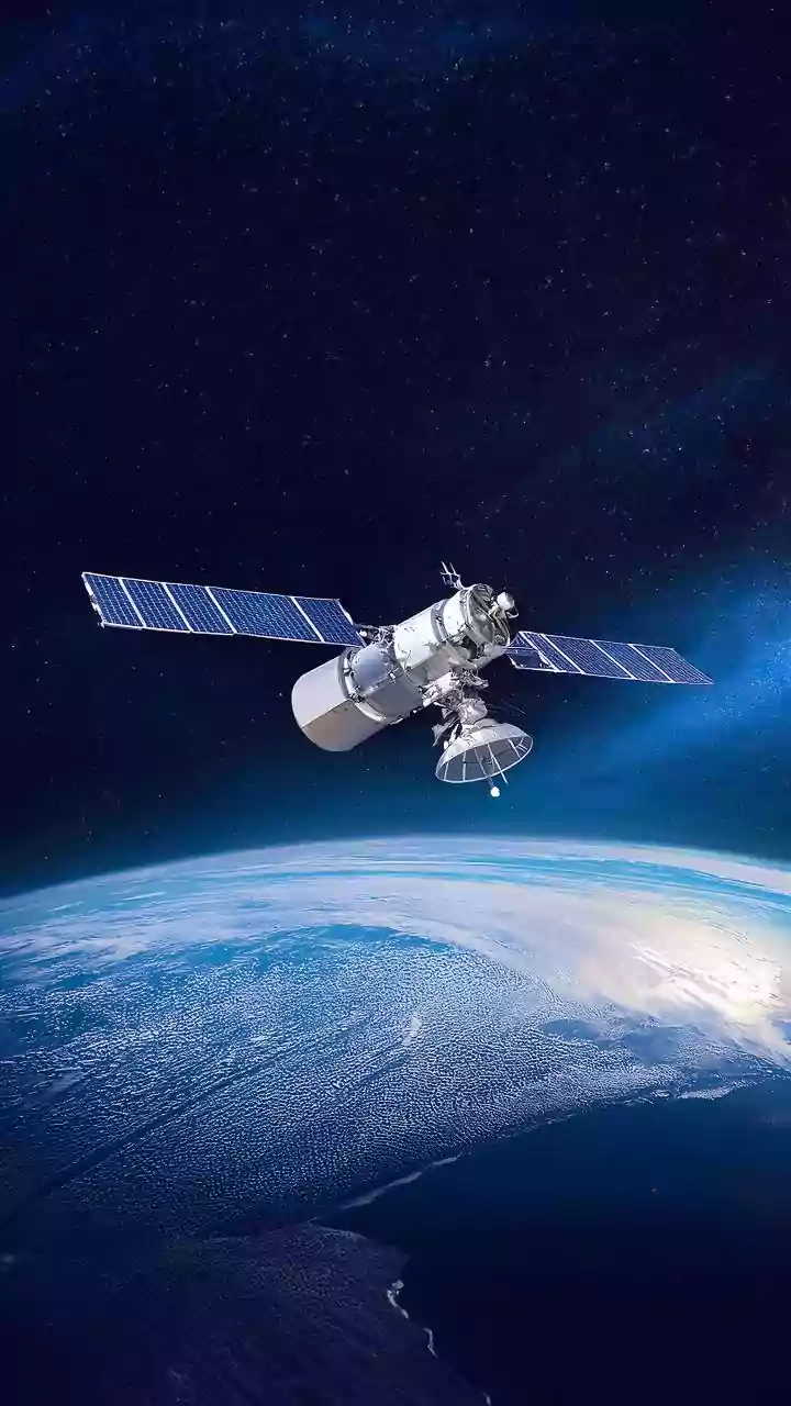
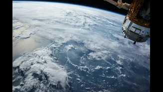
The game-changer has been the latest generation of geostationary and polar-orbiting satellites. Unlike older models that provided infrequent, lower-resolution images, modern satellites, such as those in India's INSAT series or the international GPM constellation, are packed with high-precision sensors. These instruments don't just look at the tops of clouds; they can see inside them. This leap in technology provides a continuous, detailed view of atmospheric conditions, capturing the rapid changes that are characteristic of urban weather.
The Power of Microwave Sensors
The key innovation is the advanced use of microwave sensors alongside traditional infrared imagers. Infrared sensors are excellent at measuring cloud-top temperatures, which can indicate a storm's height and potential intensity. However, they can be misleading, as a high, cold cloud doesn't always produce rain on the ground. Microwave sensors are different. They measure radiation emitted by water droplets and ice particles within the clouds. This provides a much more direct and physically accurate measurement of a storm's actual rain content, distinguishing a storm that is full of moisture from one that is mostly high-altitude ice crystals. This capability drastically reduces false alarms where a threatening-looking cloud produces little to no rain.
Data That Makes a Difference
This stream of high-quality data is fed into powerful supercomputers running numerical weather prediction (NWP) models. With more accurate, real-time information about temperature, humidity, and water content at various atmospheric layers, these models can create far more reliable simulations of how a storm will evolve. For cities, this means the models can better account for the localised effects of urban heat islands and complex airflows. By constantly assimilating fresh satellite data, forecasters can issue updates and warnings with much greater confidence, specifying not just if it will rain, but more precisely where and how much. Studies have shown that newer satellite algorithms, like the improved versions used for INSAT-3D, significantly reduce errors in rainfall estimation.
From Satellite to Smartphone
The result is a forecast you can finally trust more often. When your weather app warns of an impending downpour, it's backed by a sophisticated system that began with a sensor 36,000 kilometres in space. This technology captures the three-dimensional structure of a storm, feeds that data into a model that understands the unique complexities of an urban environment, and delivers a more accurate prediction to your screen. It empowers city planners to manage drainage systems more effectively, helps emergency services prepare for potential flash floods, and allows residents to plan their days with greater certainty. The era of the frustrating false alarm isn't over, but its days are numbered thanks to our ever-watchful eyes in the sky.