





A Living, Breathing Storm Wall
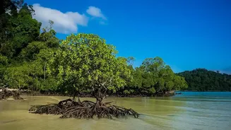
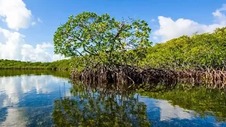
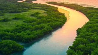
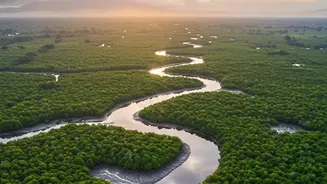
The Sundarbans, the world's largest mangrove forest, is not just a UNESCO World Heritage site teeming with biodiversity; it is the first line of defense for millions of people in West Bengal and Bangladesh. When a cyclone makes landfall, the dense network
of mangrove trees and their complex root systems acts like a massive natural sponge and a brake. They absorb the initial and most ferocious impact of storm surges, significantly reducing wave height and slowing down powerful, destructive winds. Studies have shown that a healthy mangrove forest can reduce the force of waves by up to 66%, providing a level of protection that is difficult and expensive to replicate with man-made structures alone. The dense foliage and intricate root networks dissipate energy, safeguarding the land, homes, and lives behind them.
The View from Above
For decades, the protective capacity of the Sundarbans was understood, but quantifying its direct impact during a storm was challenging. This is where satellite technology has revolutionized our understanding. Scientists use a constant stream of images from satellites like Landsat and Sentinel to monitor the health and density of the mangrove forest. By analyzing this data, they can create detailed maps showing the forest's condition over time. A key tool is the Normalized Difference Vegetation Index (NDVI), a sort of 'greenness' indicator that measures plant health from space. A high NDVI value indicates a dense, healthy forest, while a low value suggests sparse or stressed vegetation. This allows researchers to track everything from illegal deforestation to the slow recovery of a damaged area with pinpoint accuracy.
Proof in the Pixels
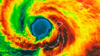
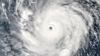
The real power of this technology becomes clear when comparing pre- and post-cyclone satellite images. After Super Cyclone Amphan in 2020, researchers used satellite data to map the storm's impact precisely. The maps showed a clear correlation: areas with dense, healthy mangrove cover, including thousands of hectares restored by local communities, suffered significantly less damage. These restored forests acted as a 'bio-shield', remaining largely intact and protecting the earthen embankments behind them from being washed away. In contrast, areas where the mangroves were degraded or absent saw much greater devastation, with satellite radar showing extensive flooding and shoreline erosion. Studies have found that cyclone damage is highest along shorelines that were already eroding and had weaker mangrove cover. This satellite-based evidence provides a direct, visual confirmation of the mangroves' protective role.
Restoration as a National Priority
The data from space sends a clear message: restoring and protecting the Sundarbans is not just an environmental issue, but a critical component of disaster management and national security. The evidence shows that every hectare of restored mangrove forest is a direct investment in the safety of coastal populations. Organizations and local communities, often led by women, have been working tirelessly to plant millions of mangrove saplings, painstakingly rebuilding this natural defense. These efforts are paying off, as demonstrated during recent storms where restored areas held firm. However, the mangroves remain under threat from rising sea levels, increased salinity, and human pressure. Continued investment and protection are crucial. As cyclones in the Bay of Bengal are projected to become more intense, the health of the Sundarbans is more important than ever.