




The Unstable Majesty of the Himalayas
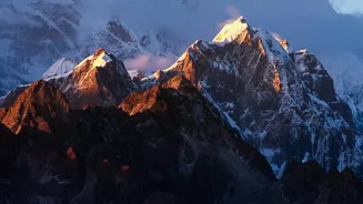
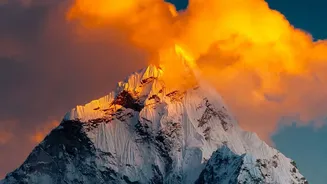
Nepal sits on one of the most geologically active regions on Earth. It is located where the Indian tectonic plate is constantly pushing underneath the Eurasian plate. This relentless collision created the Himalayas, but it also makes the region exceptionally
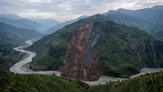
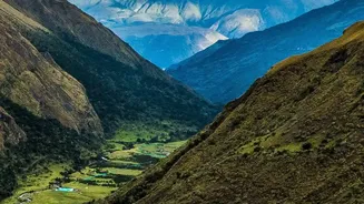
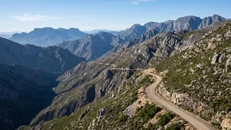
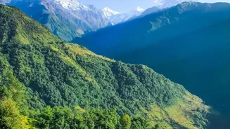
prone to earthquakes that can trigger a cascade of other disasters. The mountains themselves are relatively young and geologically fragile, with steep slopes made of fractured rock. This inherent instability means that even without a major earthquake, the mountainsides are susceptible to collapse. Continuous rainfall, a common feature, is often enough to weaken the slopes and cause devastating landslides that can wipe out entire villages, roads, and crucial infrastructure.
A Torrent of Powerful Rivers
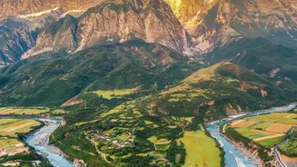
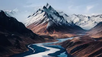
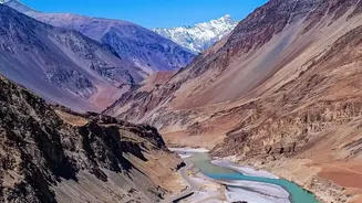
More than 6,000 rivers and streams flow down from the Himalayas through Nepal, carving deep valleys on their journey south. Many of these are fed by glaciers, carrying not just water but also huge quantities of sediment, rock, and debris. This gives them immense erosive power. During periods of high flow, such as the monsoon season, these rivers can swell to many times their normal size with terrifying speed. They frequently change course, eroding banks and inundating vast areas of farmland and settlements in the southern plains, known as the Terai. This sediment load also contributes to disaster, as rivers deposit silt that raises their beds, making them even more prone to breaching their banks in subsequent floods.
The Monsoon's Deadly Deluge
The monsoon season, which lasts from roughly June to September, is the critical trigger that activates Nepal's other risk factors. During this period, the country receives about 80% of its total annual rainfall. While essential for agriculture, this concentrated downpour saturates the ground, destabilizing the already fragile slopes of the hill and mountain regions and leading to widespread landslides. Studies show that continuous rainfall over several days is a strong predictor of landslides in the Nepali Himalayas. The immense volume of water also overwhelms the river systems, causing the flash floods and large-scale riverine floods that plague the nation annually, resulting in significant loss of life and property.
The Human Amplifier and Climate Change
Natural forces are not the only contributors to Nepal's vulnerability. Human activities often exacerbate the risks. Haphazard road construction without proper geological surveys can weaken hillsides, creating new landslide risks. Similarly, deforestation removes the tree cover that helps bind soil and absorb rainfall, increasing runoff and erosion. Growing populations have also led to settlements expanding into high-risk areas like floodplains and unstable slopes. Compounding everything is climate change. Rising temperatures are causing Himalayan glaciers to melt at an accelerated rate. This not only alters river flows but also creates a growing threat from Glacial Lake Outburst Floods (GLOFs). These events occur when the natural moraine dams holding back glacial lakes fail, releasing a sudden, catastrophic torrent of water and debris downstream.
A Cascade of Catastrophe
The true danger in Nepal lies in how these elements interact to create cascading disasters. An earthquake can trigger a landslide. That landslide can then dam a river, creating a temporary lake. When this natural dam inevitably bursts, it releases a flash flood far more destructive than one caused by rainfall alone. In another scenario, a GLOF high in the mountains can gather debris as it travels, transforming into a devastating slurry that buries everything in its path for hundreds of kilometres. This interconnectedness of hazards means a single event can set off a chain reaction, multiplying the destructive potential and making disaster prediction and response incredibly challenging.