

Venus: Earth's Inhospitable Sister
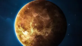
Exploring Venus is exceptionally difficult. Its surface is a hellish landscape with temperatures hot enough to melt lead, averaging over 460°C, and a crushing atmospheric pressure more than 90 times that of Earth's. The planet is perpetually covered by
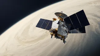
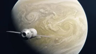
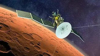
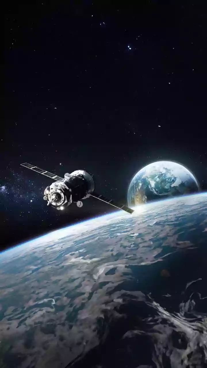
opaque clouds of sulfuric acid, which makes it impossible for conventional optical cameras to see the surface. These extreme conditions mean that landers have only survived for a couple of hours at most, making a long-term orbiter mission the only viable way to study the planet comprehensively. The goal of ISRO's Shukrayaan mission is to do just that: orbit Venus and systematically map its surface and analyse its atmosphere over several years.
The Star Instrument: Synthetic Aperture Radar
To see through the impenetrable clouds, Shukrayaan's main instrument is a high-resolution Synthetic Aperture Radar (SAR). This isn't the first time ISRO has used this technology; it was previously deployed on the Chandrayaan-2 lunar orbiter to map the Moon's surface and subsurface. For the Venus mission, the SAR is the key to unlocking the planet's topography. Unlike optical cameras that rely on light, a radar actively sends out its own signals—in this case, microwave pulses—and listens for the echoes that bounce back. Since microwaves can easily penetrate clouds, dust, and darkness, the SAR can create a detailed map of the surface day or night, regardless of the weather.
How Radar 'Paints' a Picture of the Surface
Think of Synthetic Aperture Radar as a highly advanced form of echolocation. The instrument sends a radio wave down to the planet's surface. As this wave hits different features—like mountains, volcanoes, or plains—it reflects back to the spacecraft. By precisely measuring the time it takes for these echoes to return and their strength, scientists can construct a detailed, three-dimensional image of the terrain. The 'synthetic' part of its name comes from a clever technique where the motion of the orbiting spacecraft is used to simulate a much larger antenna. This allows the instrument to achieve incredibly high resolution, turning what would be a blurry image into a sharp, detailed map. Shukrayaan's SAR is expected to have four times the resolution of NASA's Magellan mission, which last mapped Venus in the 1990s.
A Suite of Supporting Sensors
While the SAR is the star of the show for surface mapping, Shukrayaan will carry a payload of around 19 other instruments, with a total mass of about 100 kg. Some of these are being developed in collaboration with international partners, including Russia, France, Sweden, and Germany. One key instrument is a ground-penetrating radar, which will be the first of its kind used at Venus to study its shallow subsurface structure. Other instruments include a thermal camera to map temperature variations and identify volcanic hotspots, and various spectrometers like the Venus Infrared Atmospheric Gases Linker (VIRAL) to analyse the composition of the dense atmosphere. Together, these instruments will provide a holistic view of Venus, from its upper atmosphere and interaction with solar wind down to its hidden surface and geological activity.
What Shukrayaan Means for India
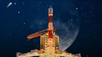
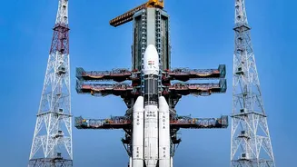
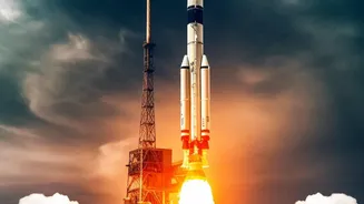
Scheduled for launch in 2028 aboard the powerful LVM-3 rocket, Shukrayaan represents a major technological leap for ISRO. Beyond the scientific discovery, the mission is a platform for demonstrating advanced space technologies. For the first time, ISRO will use an aerobraking technique, where the spacecraft will repeatedly dip into the upper atmosphere of Venus to gradually slow down and lower its orbit without using precious fuel. Successfully mapping Venus will not only provide critical data for understanding how Earth's 'twin' evolved so differently but will also solidify ISRO's position as a leading player in interplanetary exploration, capable of undertaking complex, high-stakes science missions.